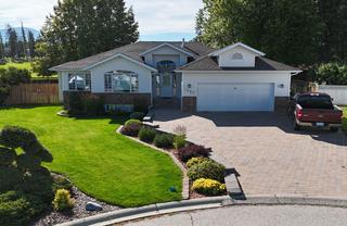
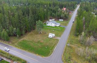
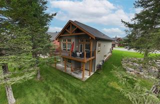
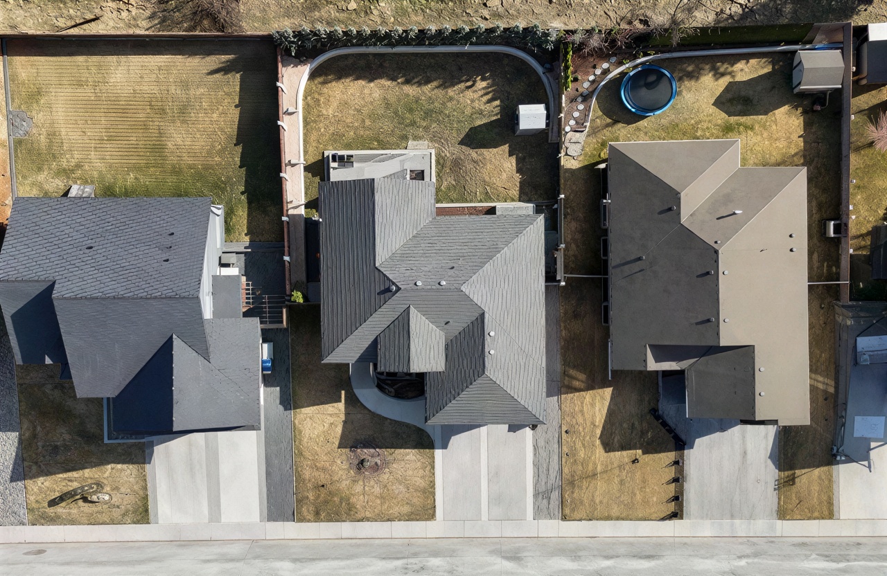
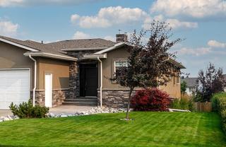
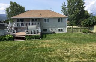
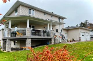
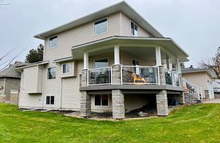
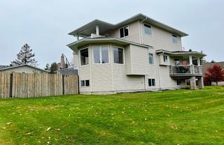
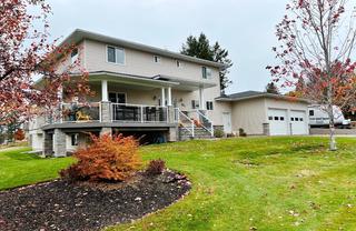
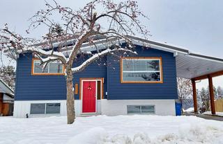
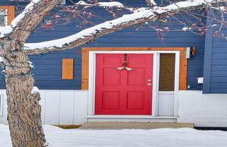
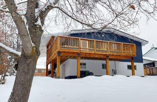
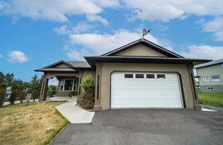
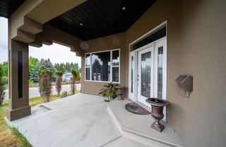
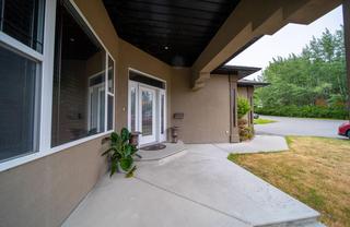
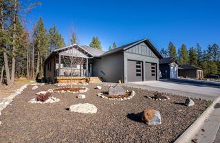
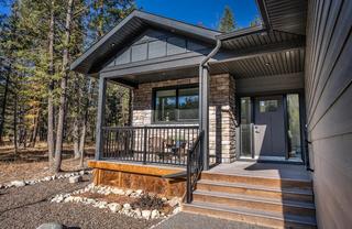
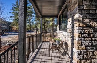
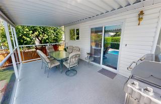
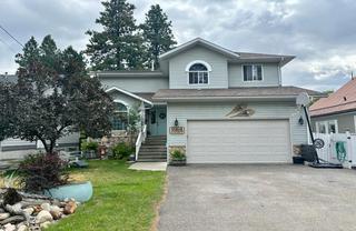
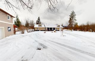
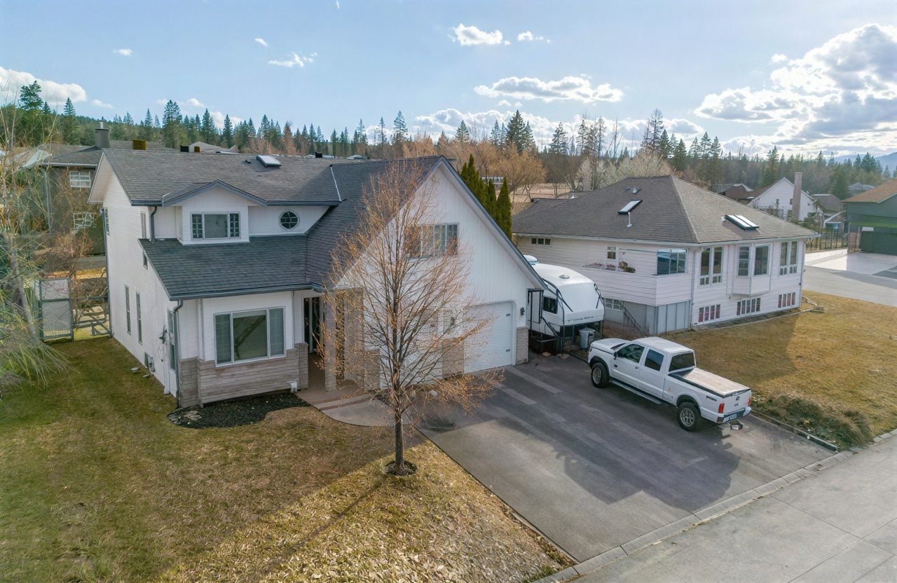
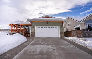
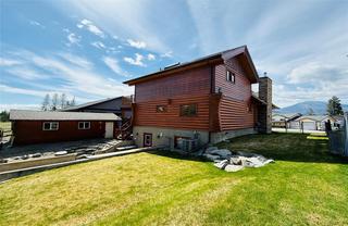
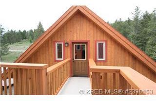
| 1282 23RD S Street20027125 | MLS aerial/elevated | 1 | yes | 0 / 9 | — | — | — | listing |
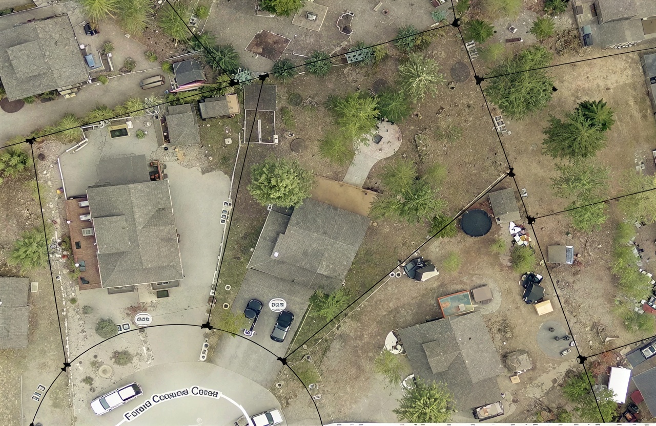
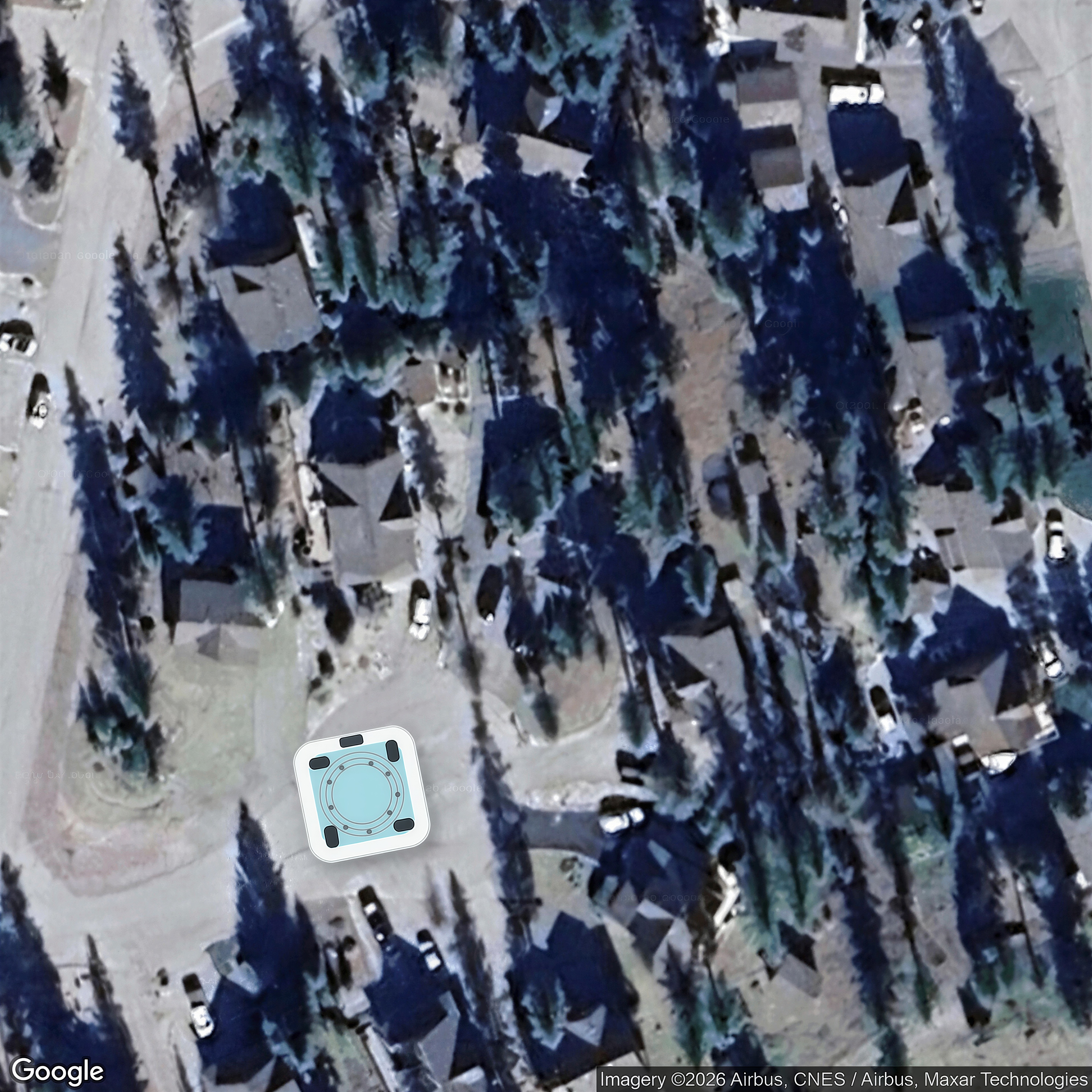
| 1611 1ST S Avenue10684522 | MLS aerial/elevated | 1,2,21,3 | yes | 0 / 9 | — | no | — | listing |
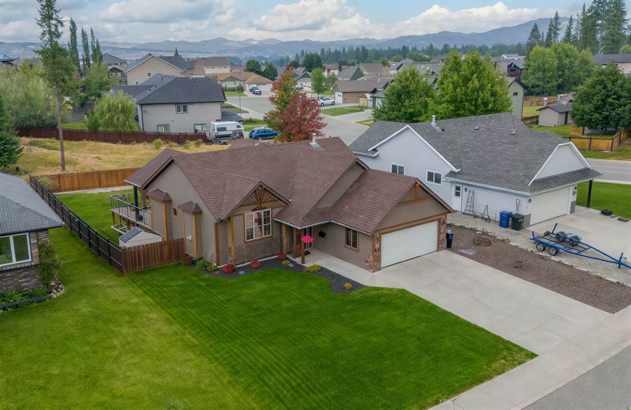
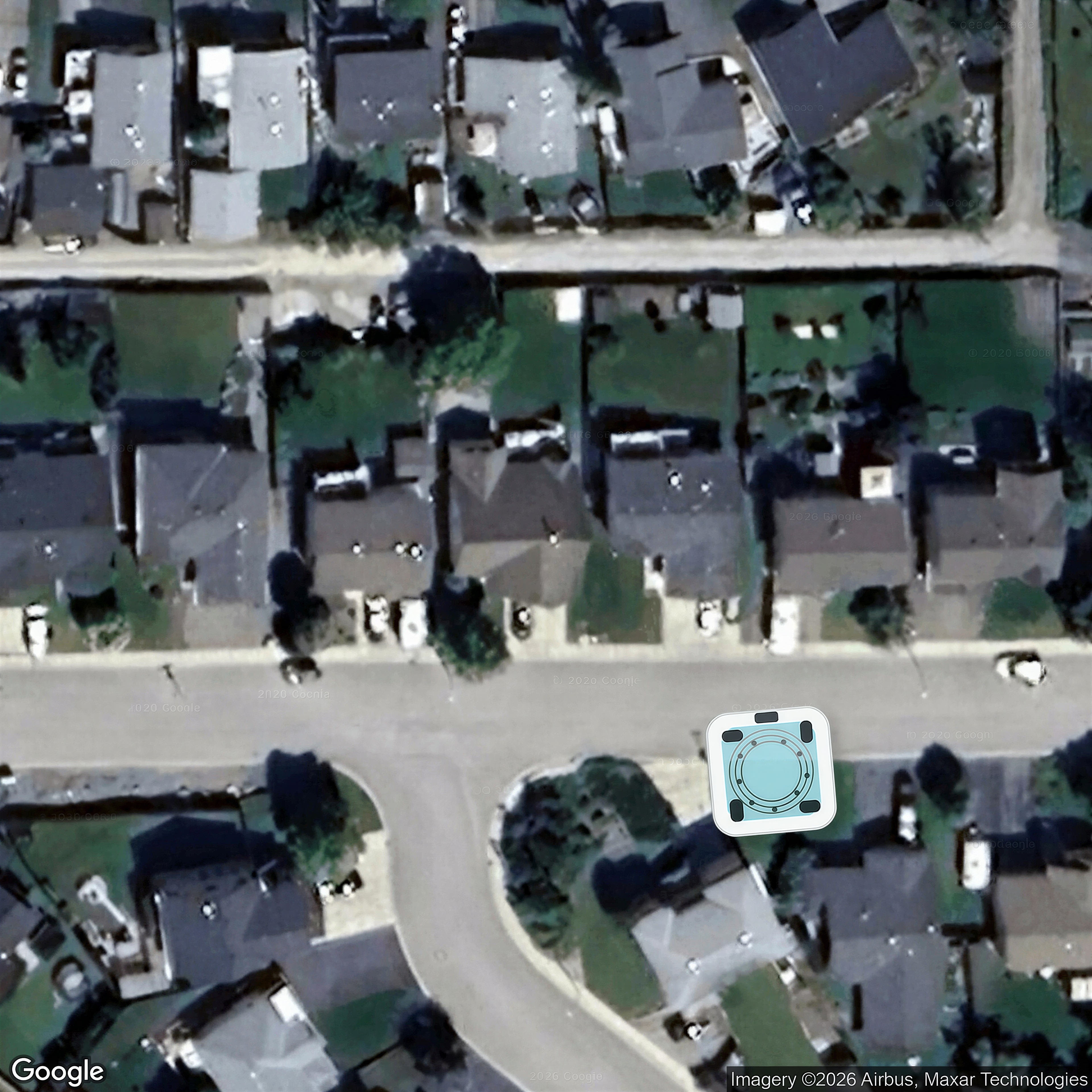
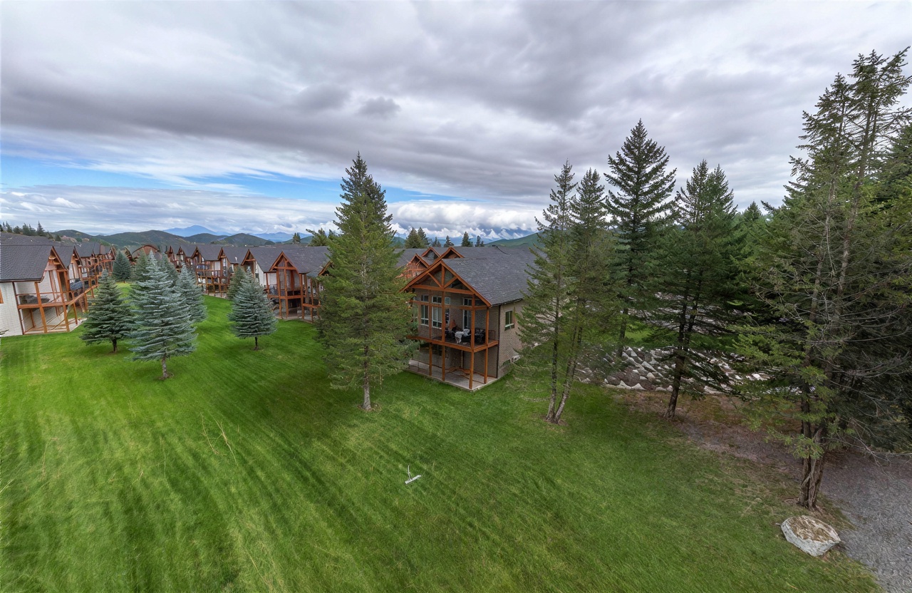
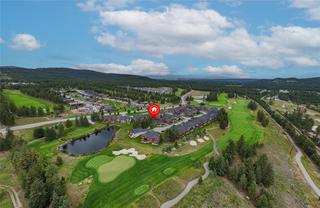
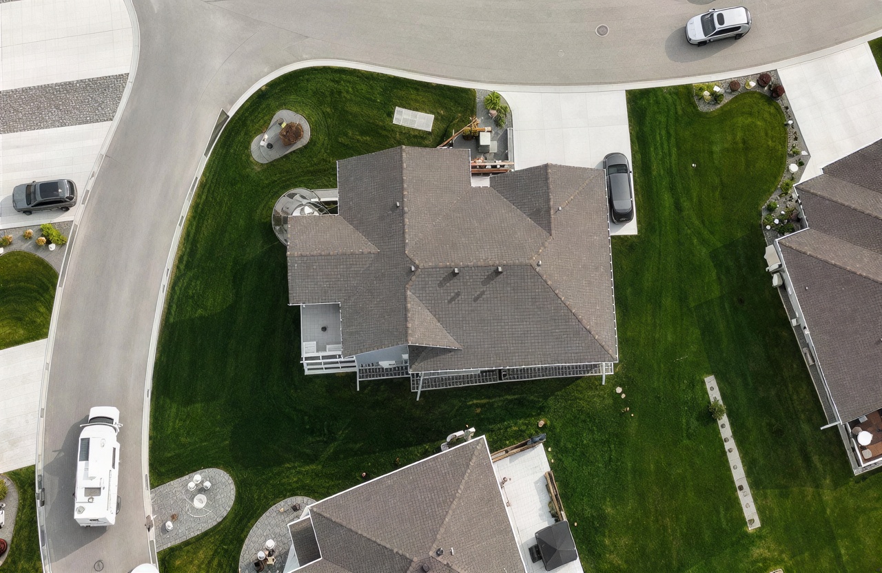
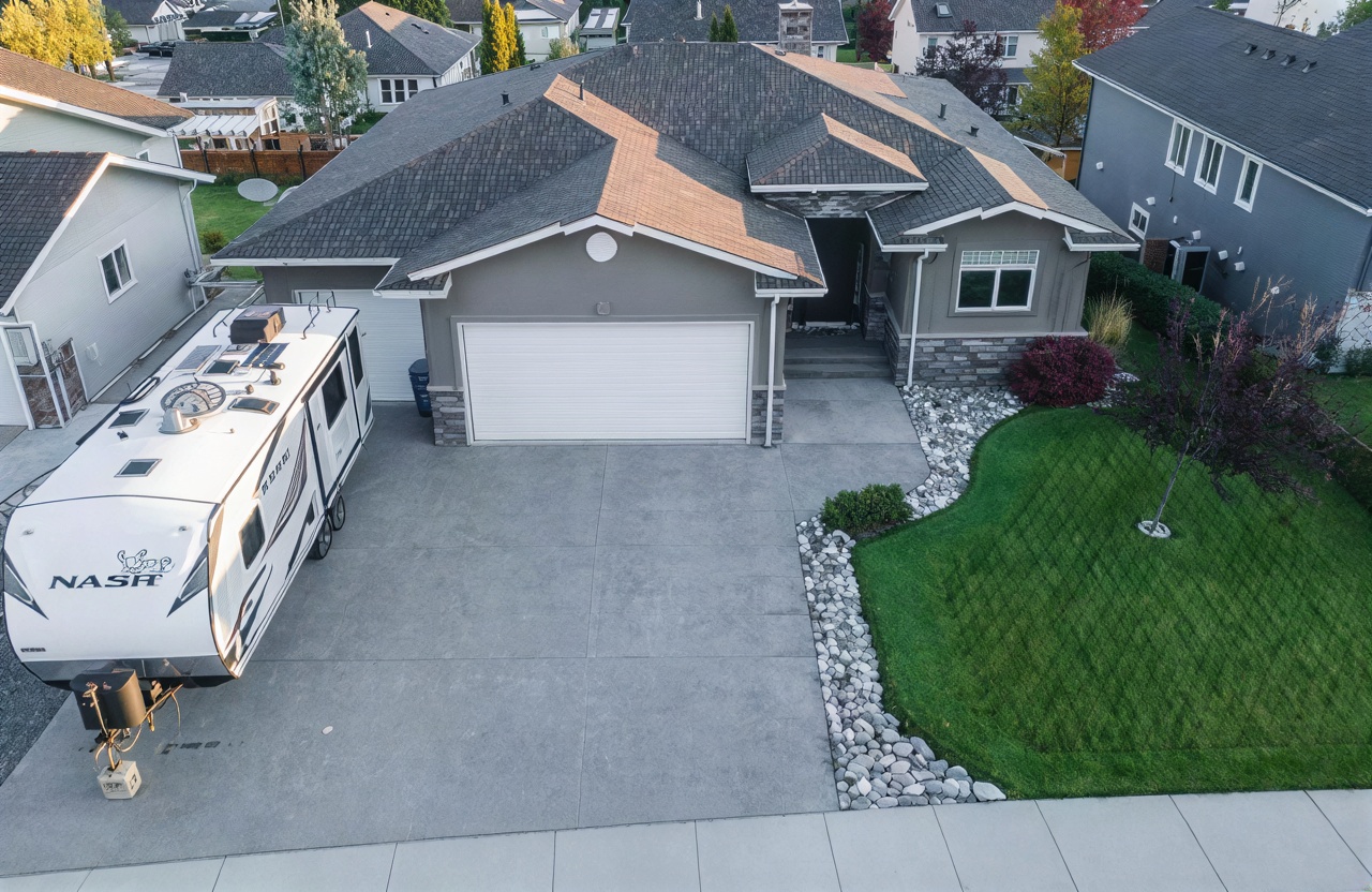
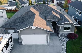
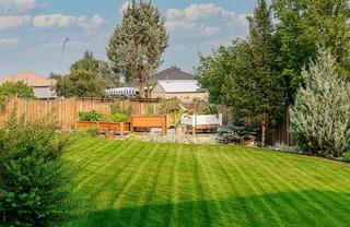
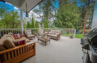
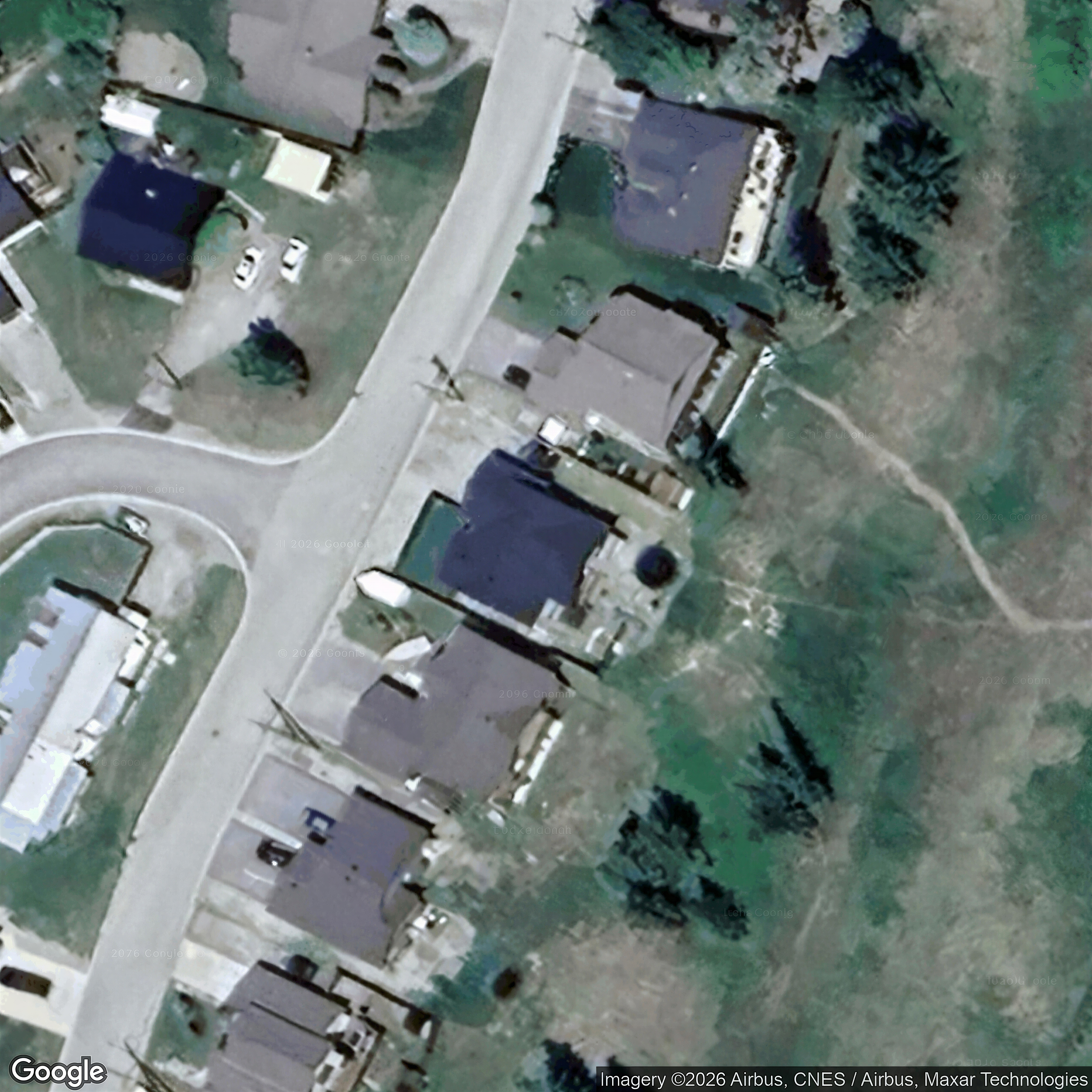
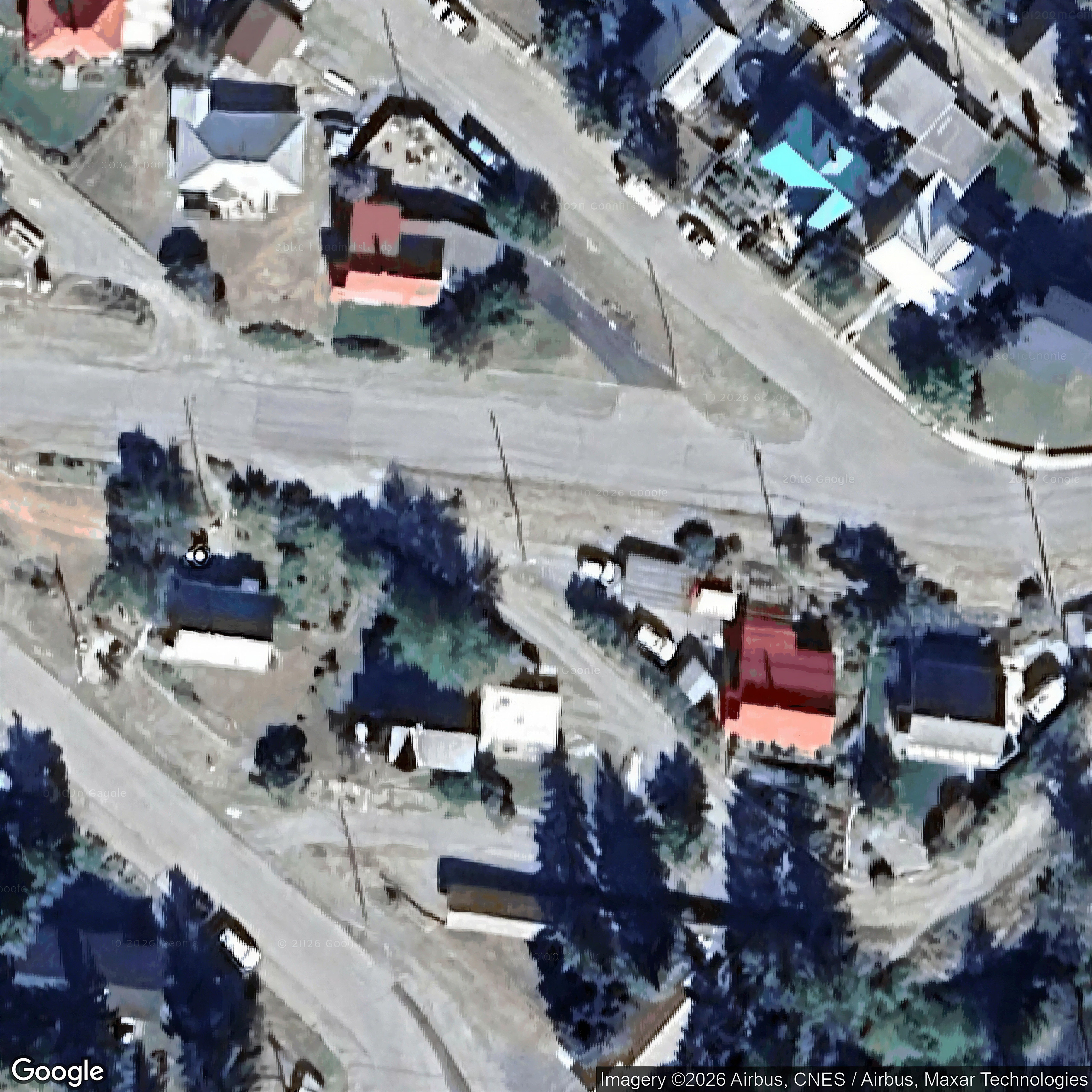
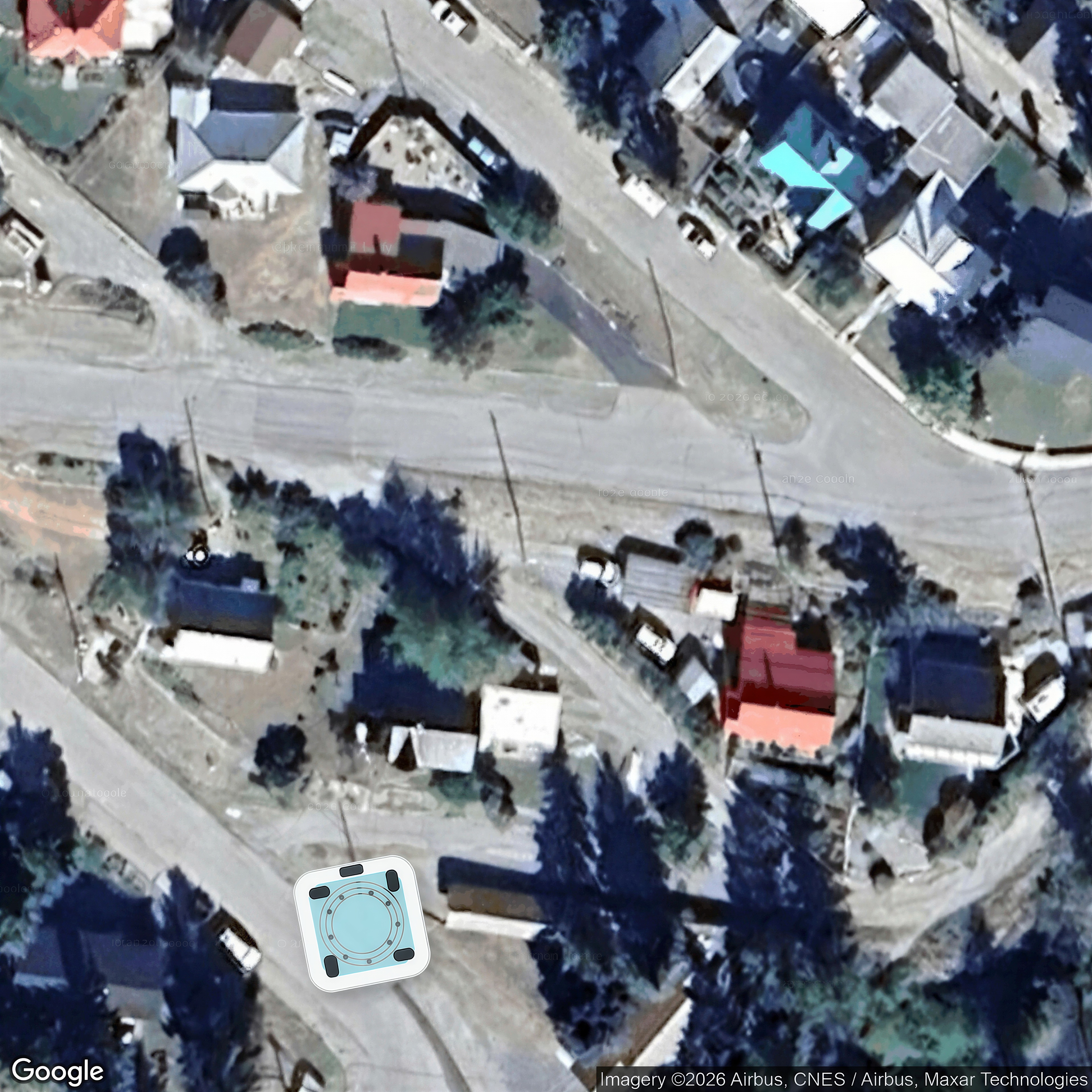
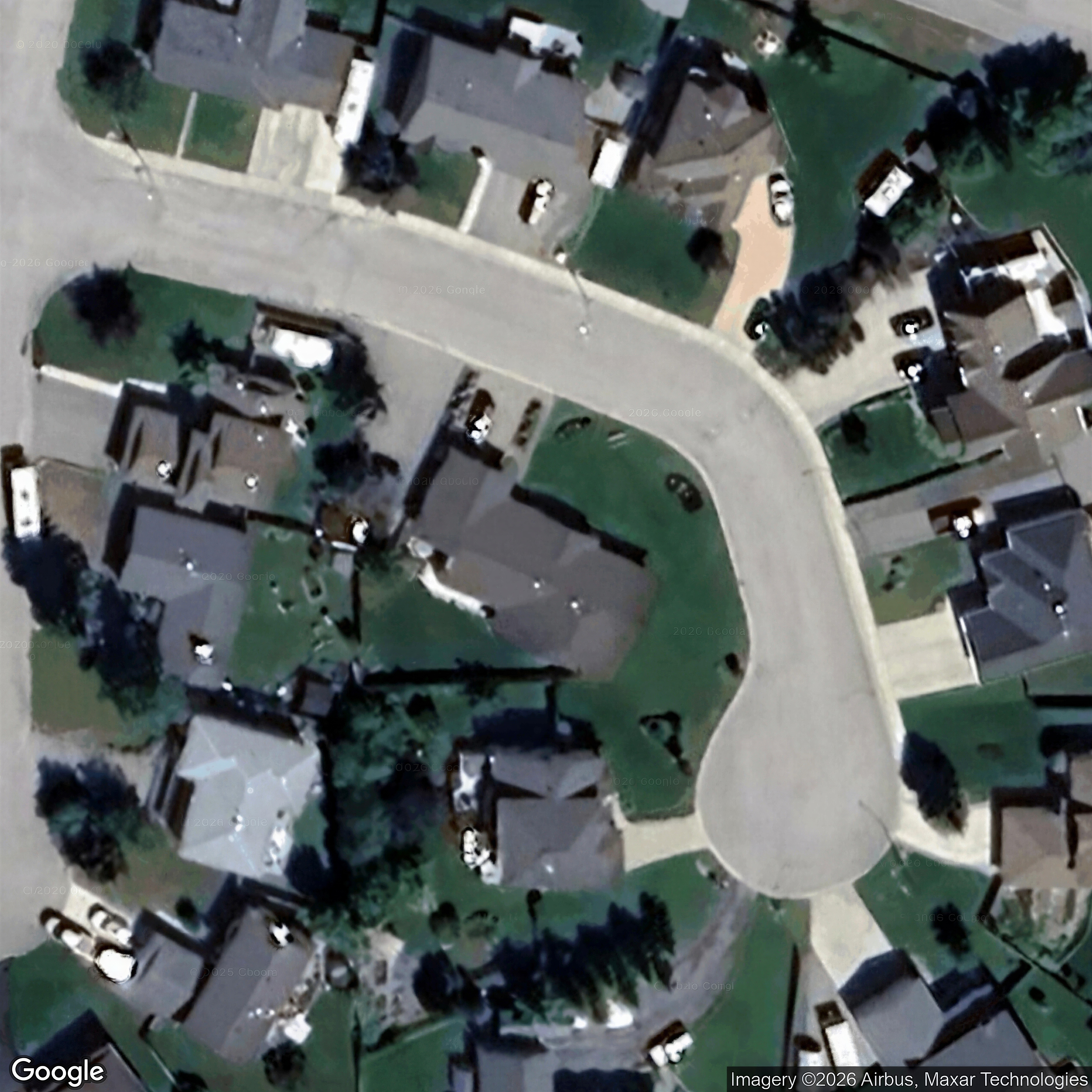
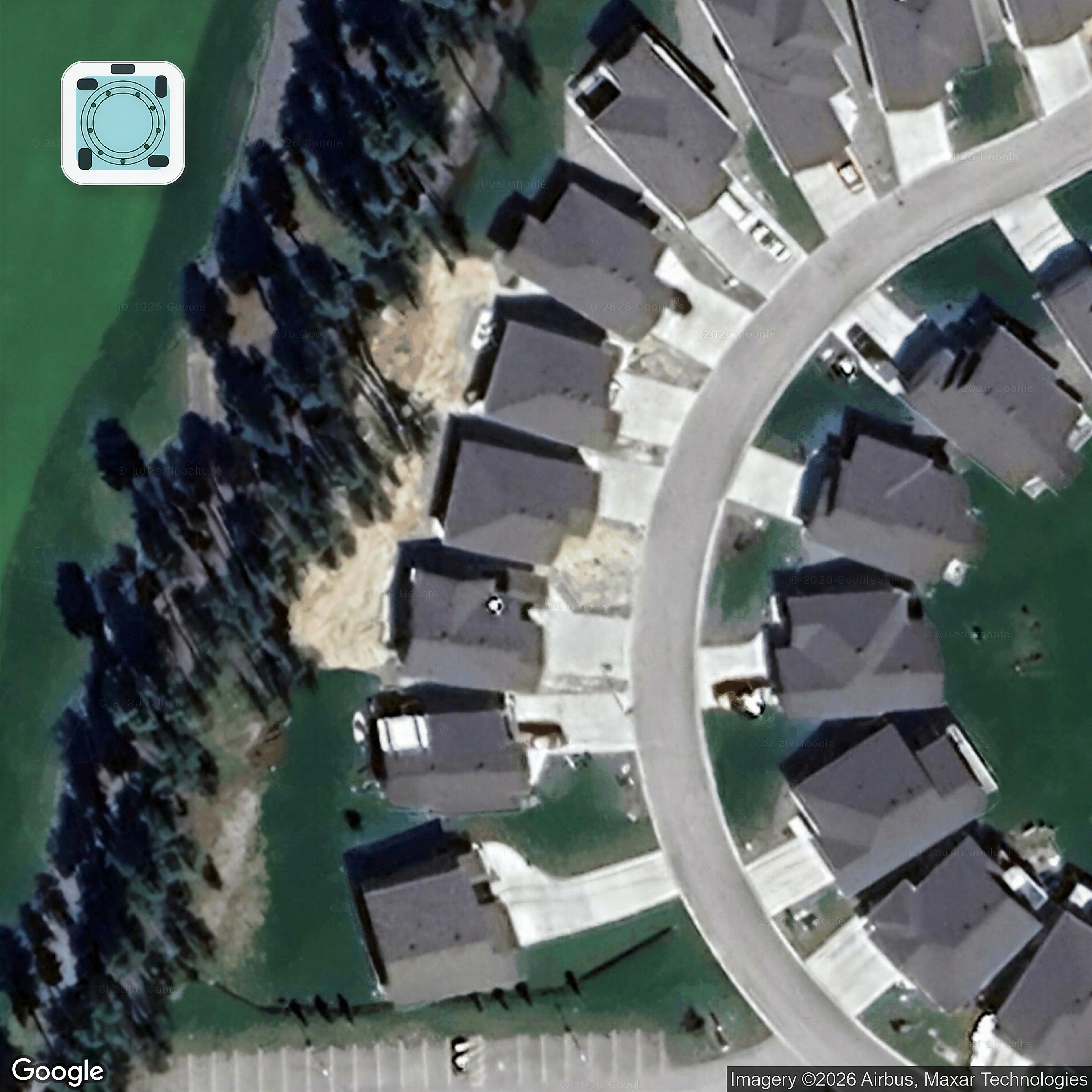
| 1629 Staple Crescent20062684 | MLS aerial/elevated | 5,2,3,1,4,6 | yes | 0 / 9 | — | — | — | listing |
| 1732 20TH S Avenue10675733 | MLS aerial/elevated | 1,2,3,4,5,6,7,9 | yes | 0 / 9 | — | — | — | listing |
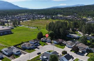
| 1908 12th Street S20068527 | MLS aerial/elevated | 3,2 | yes | 0 / 9 | — | — | — | listing |
| 222 Boulder Creek20035684 | MLS aerial/elevated | 3,8,9,4,5 | yes | 0 / 9 | — | — | — | listing |
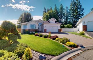
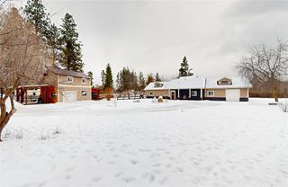
| 224 Lindsay Street20049485 | MLS aerial/elevated | 3 | yes | 0 / 9 | — | — | — | listing |
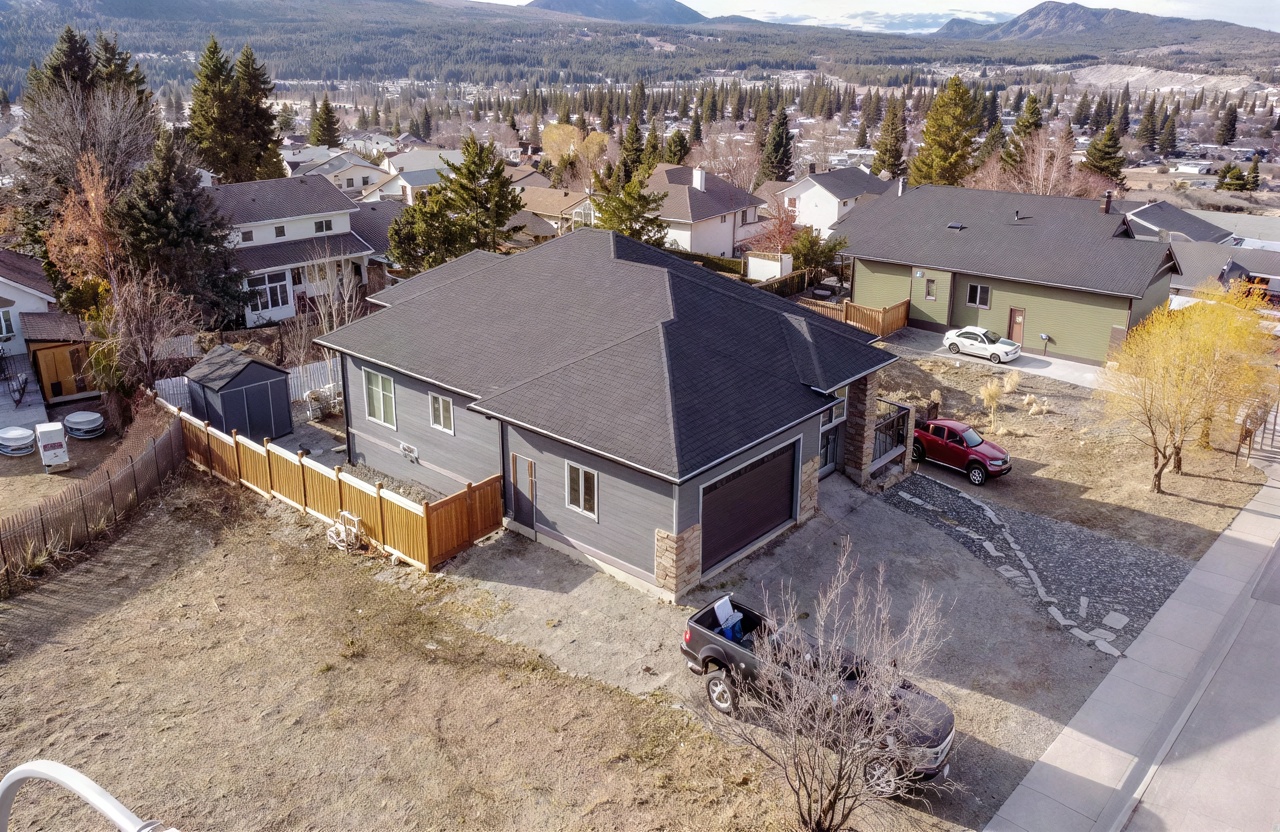
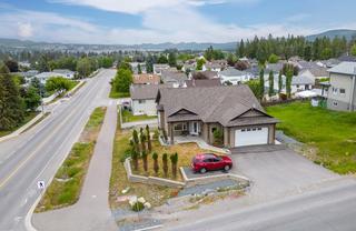
| 233 Boulder Creek20084357 | MLS aerial/elevated | 4,30,29,2 | yes | 0 / 9 | — | — | — | listing |
| 2904 Edgewood Drive20072535 | MLS aerial/elevated | 3,1,5,4 | yes | 0 / 9 | — | — | — | listing |
| 307 LEGACY LOOKOUT20042910 | MLS aerial/elevated | 2,1 | yes | 0 / 9 | — | — | — | listing |
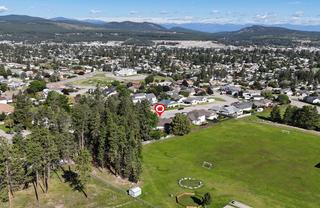
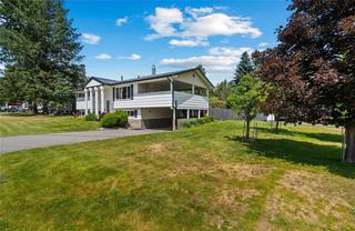
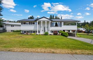
| 313 17TH Street S20048728 | MLS aerial/elevated | 2,3 | yes | 0 / 9 | — | — | — | listing |
| 804 17TH S Street10672776 | MLS aerial/elevated | 1,2,4,5,7,8,9,15,16,19,20,21,22,24,25 | yes | 0 / 9 | — | — | — | listing |
| 805 31ST Avenue S20036703 | MLS aerial/elevated | 2,24,17 | yes | 0 / 9 | — | — | — | listing |
| 1609 8TH S Avenue10669905 | MLS aerial/elevated | 8,7,5 | yes | 0 / 9 | — | — | — | listing |
| 954 313th Drive20042244 | MLS aerial/elevated | 28,29,25 | yes | 0 / 9 | — | — | — | listing |
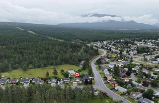
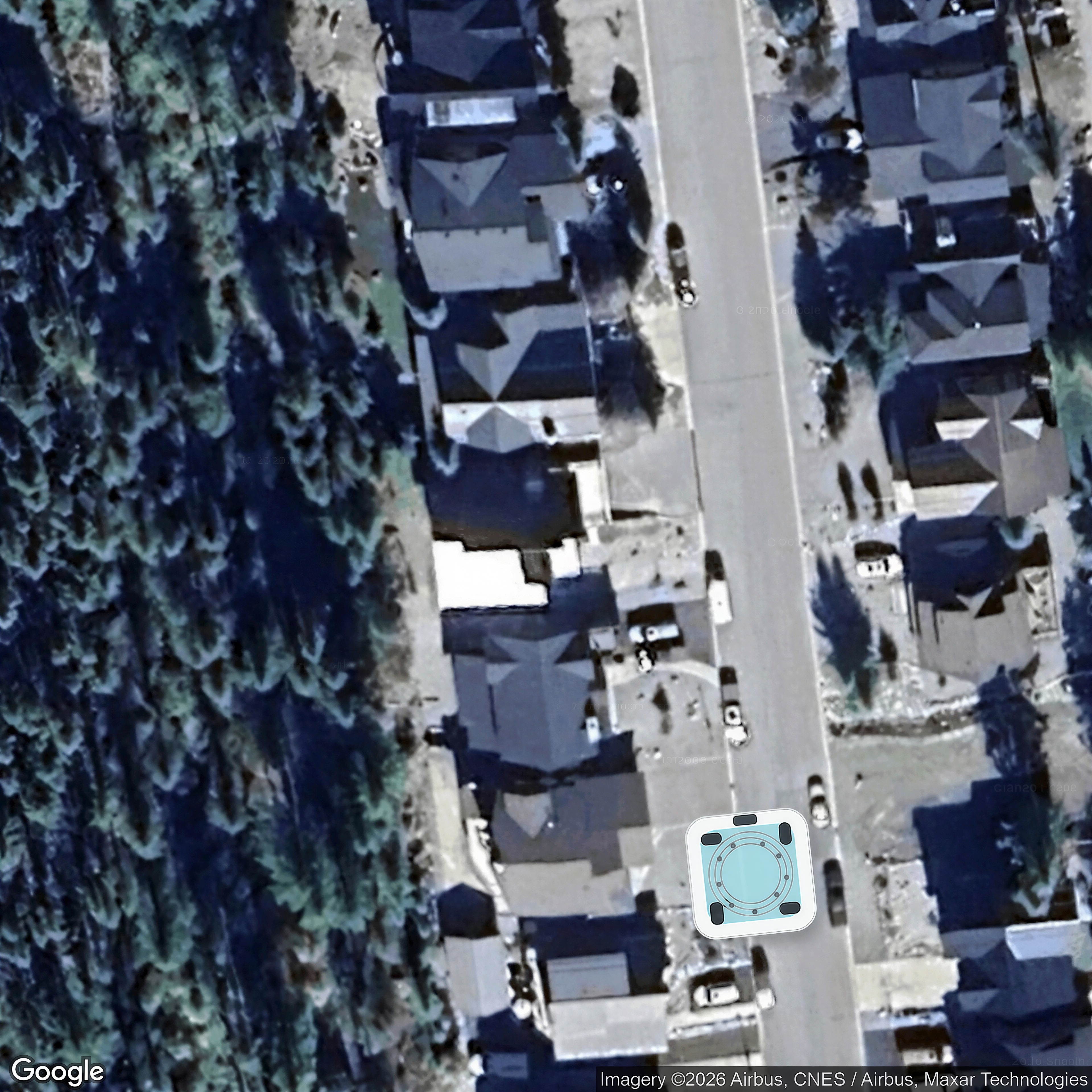
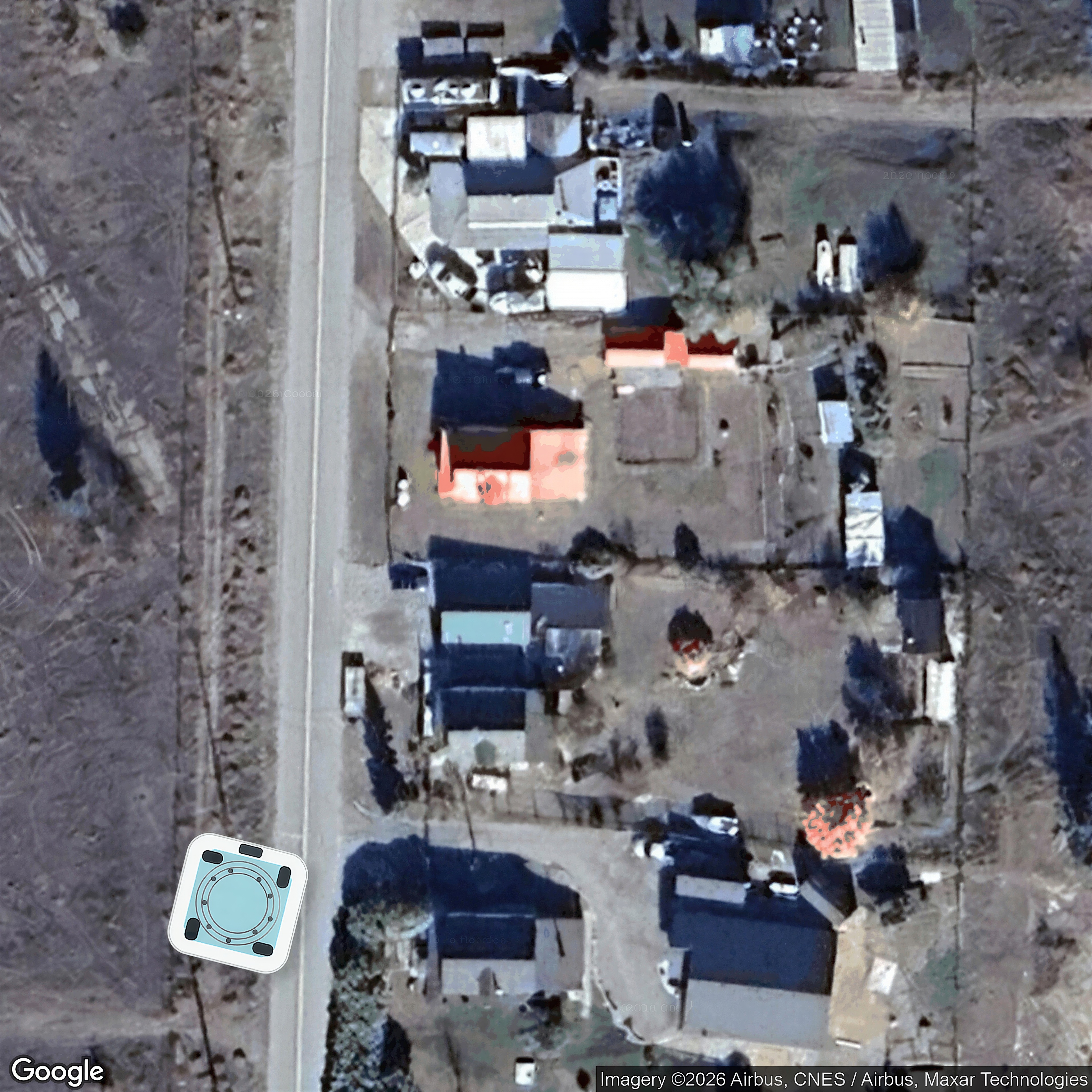
| 9444 MOYIE SHORES ESTATES W Road10658951 | Google overhead | 2,3,6,1,5 | no | 9 / 0 | unclear | yes | unclear | listing |
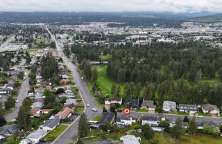
| 75 103RD Avenue20078478 | Google overhead | 2,1,29 | no | 0 / 9 | unclear | yes | yes | listing |
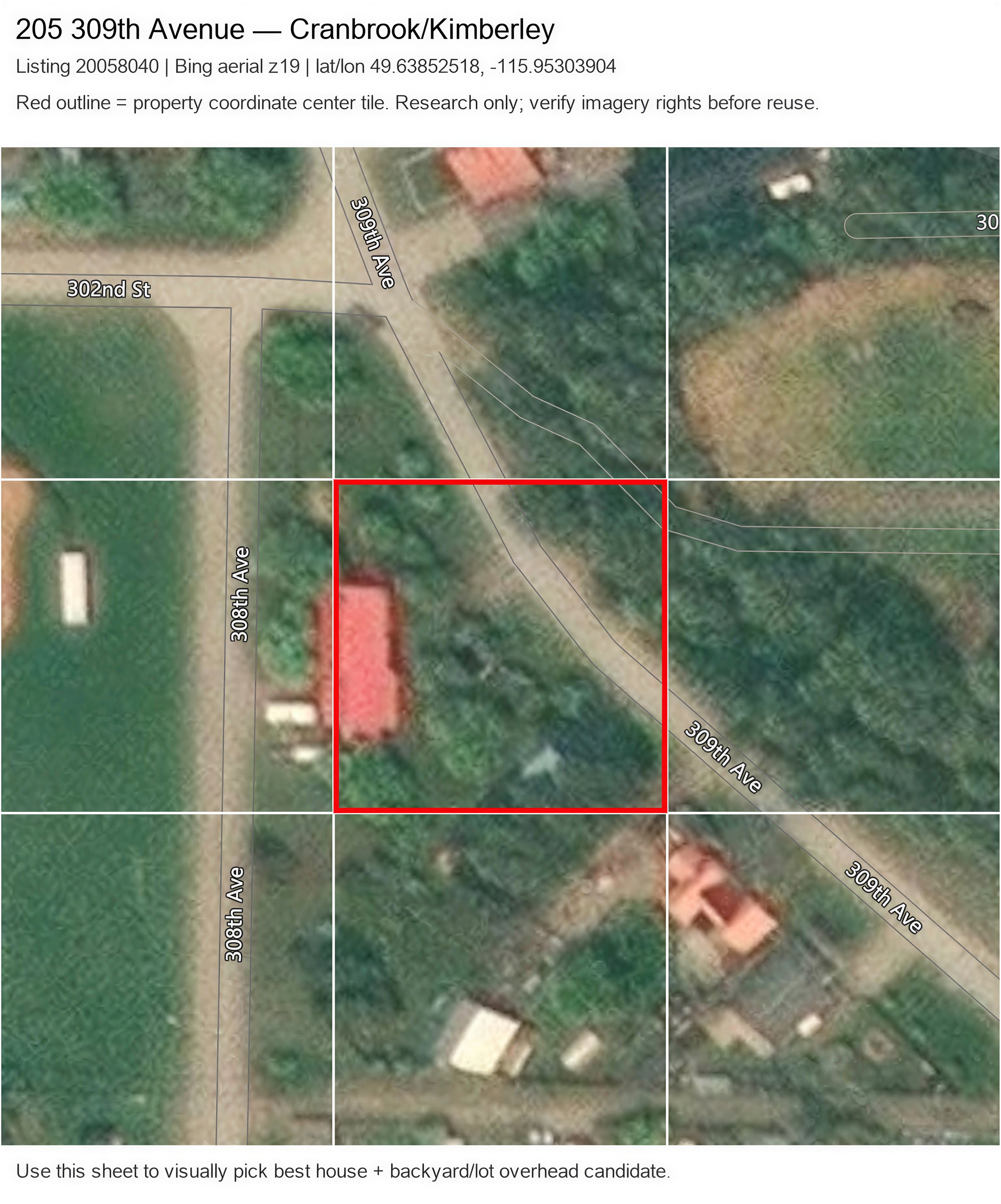
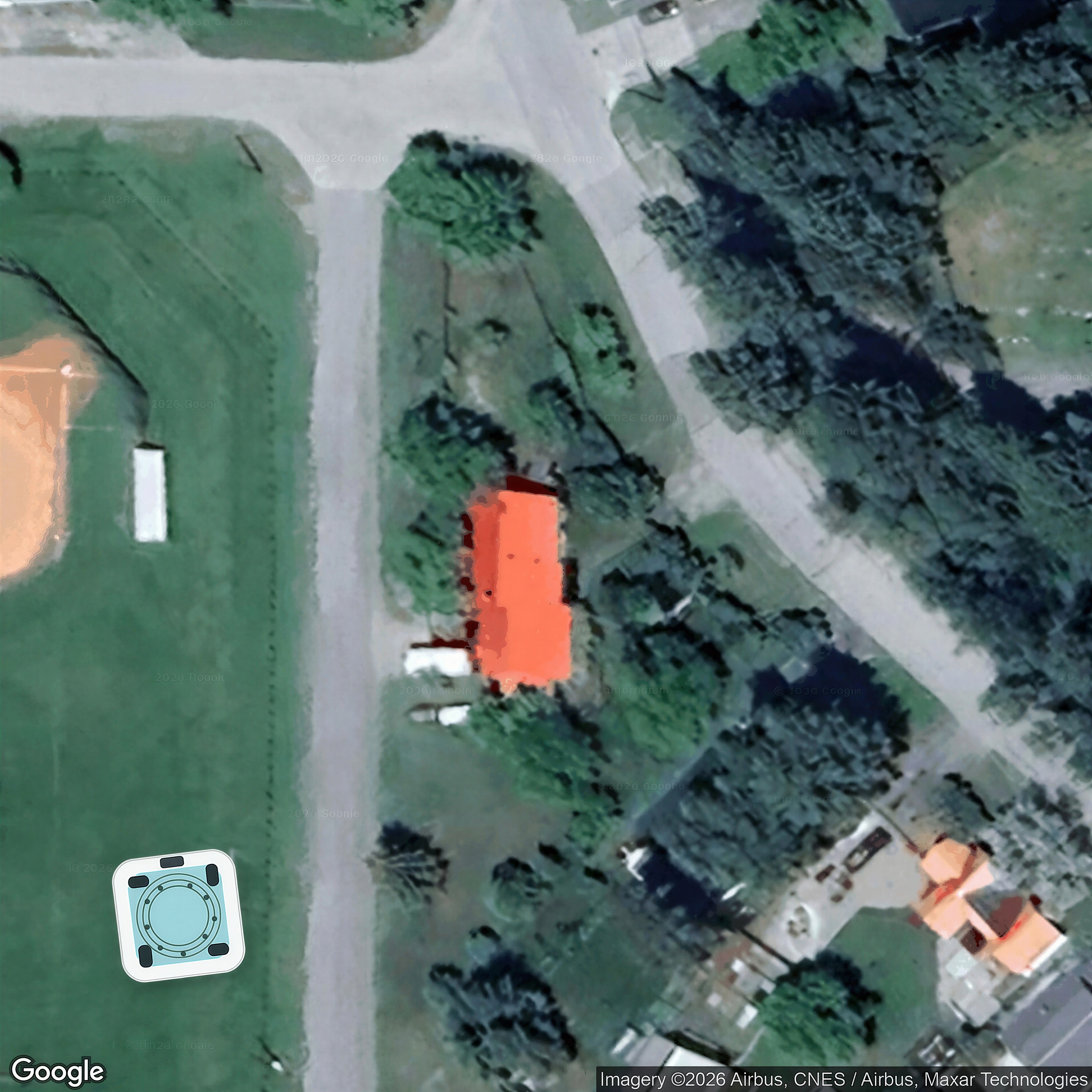
| 205 309th Avenue20058040 | Bing overhead | 1,3,5,4 | no | 0 / 9 | yes | — | — | listing |
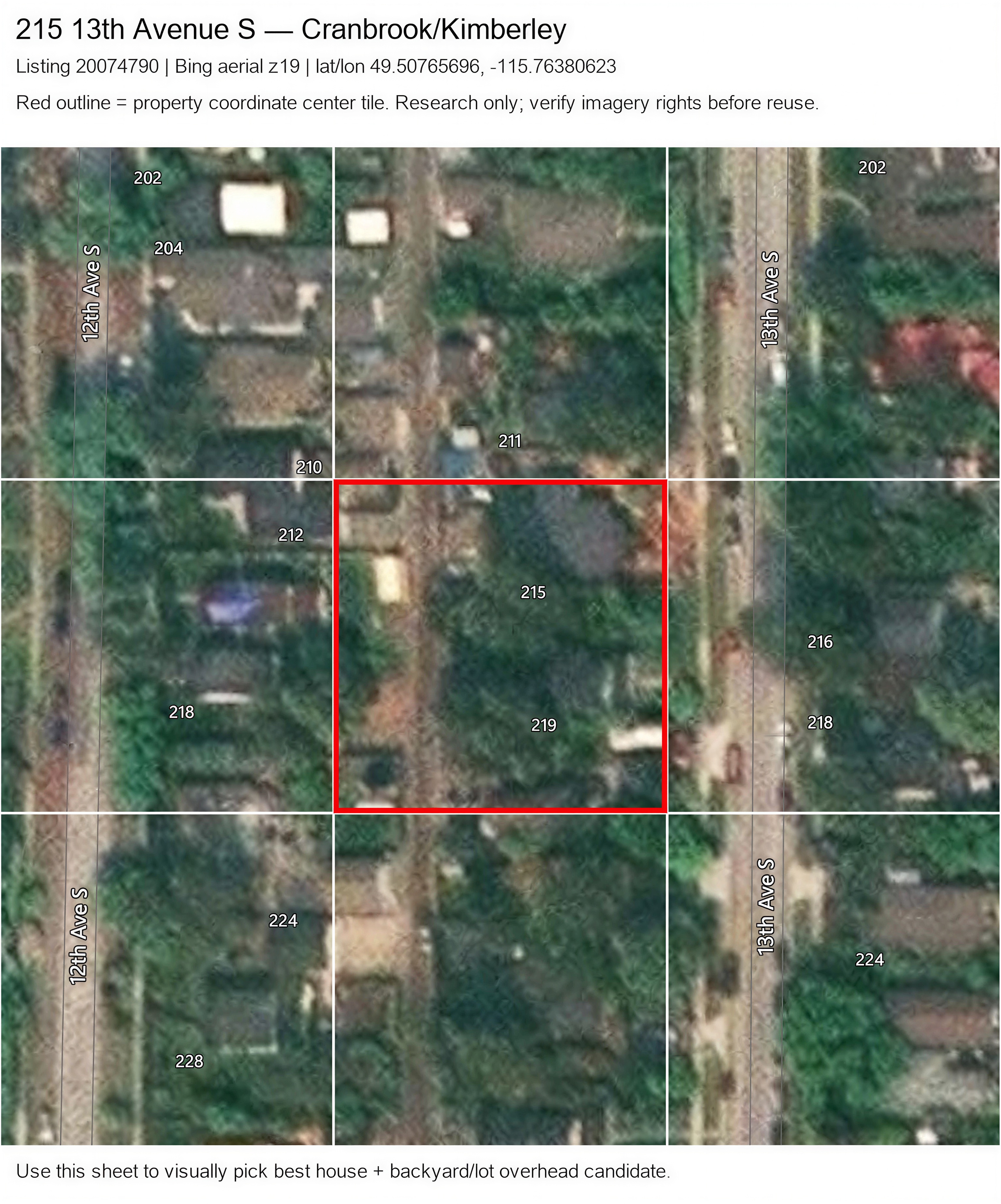
| 215 13th Avenue S20074790 | Bing overhead | 20,22,23,27,29 | no | 0 / 9 | yes | — | — | listing |
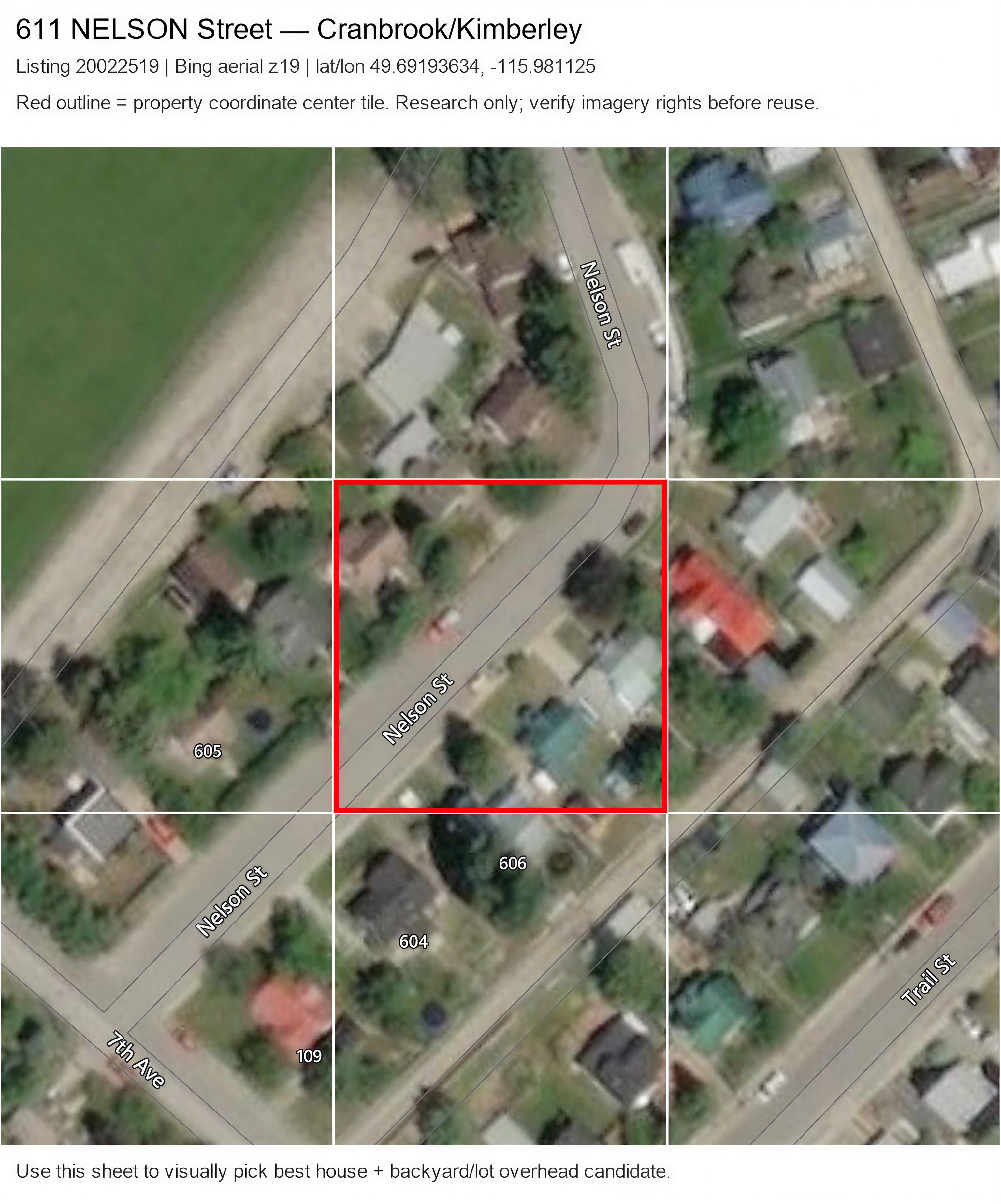
| 611 NELSON Street20022519 | Bing overhead | 4,6,7,10,11,26 | no | 0 / 9 | yes | — | — | listing |
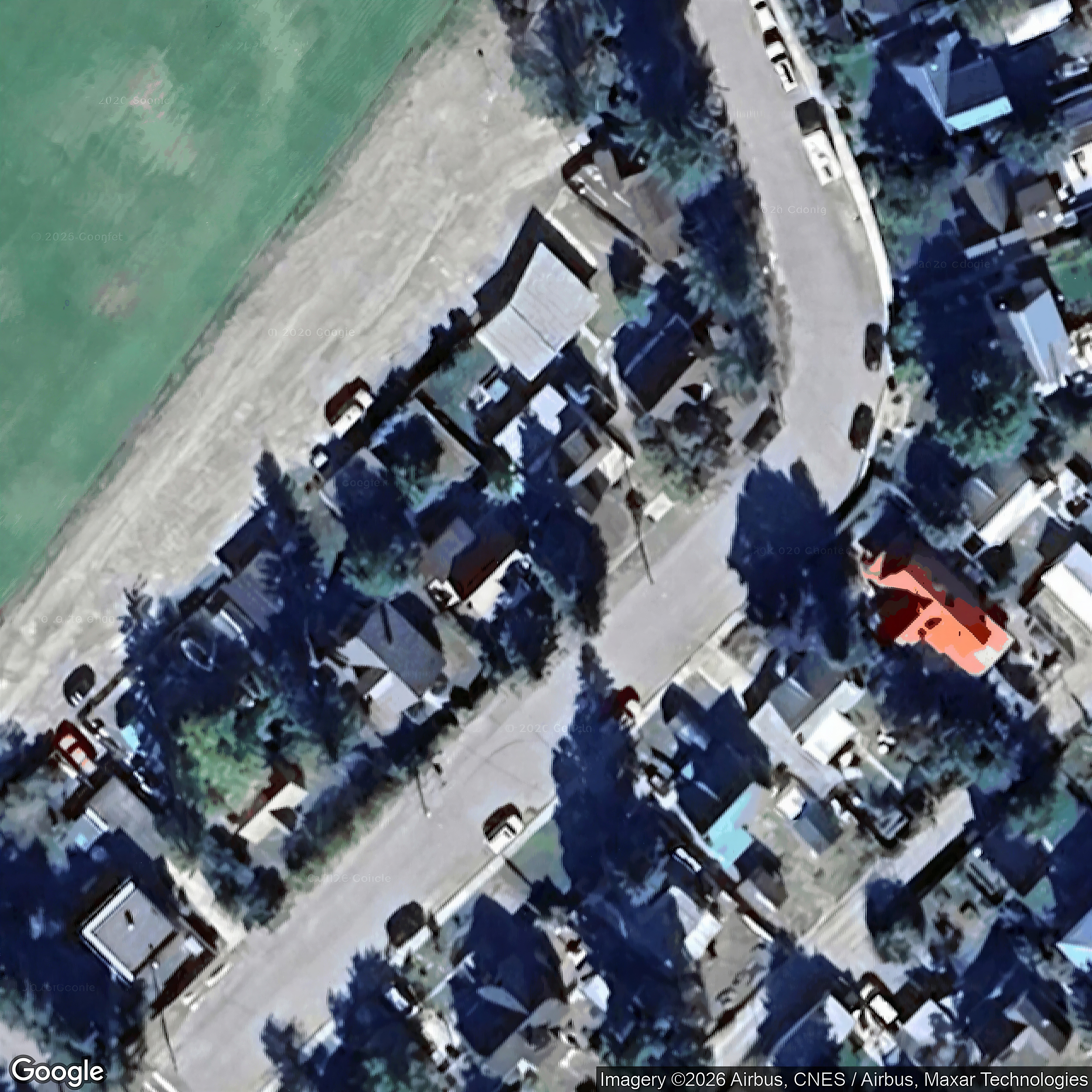
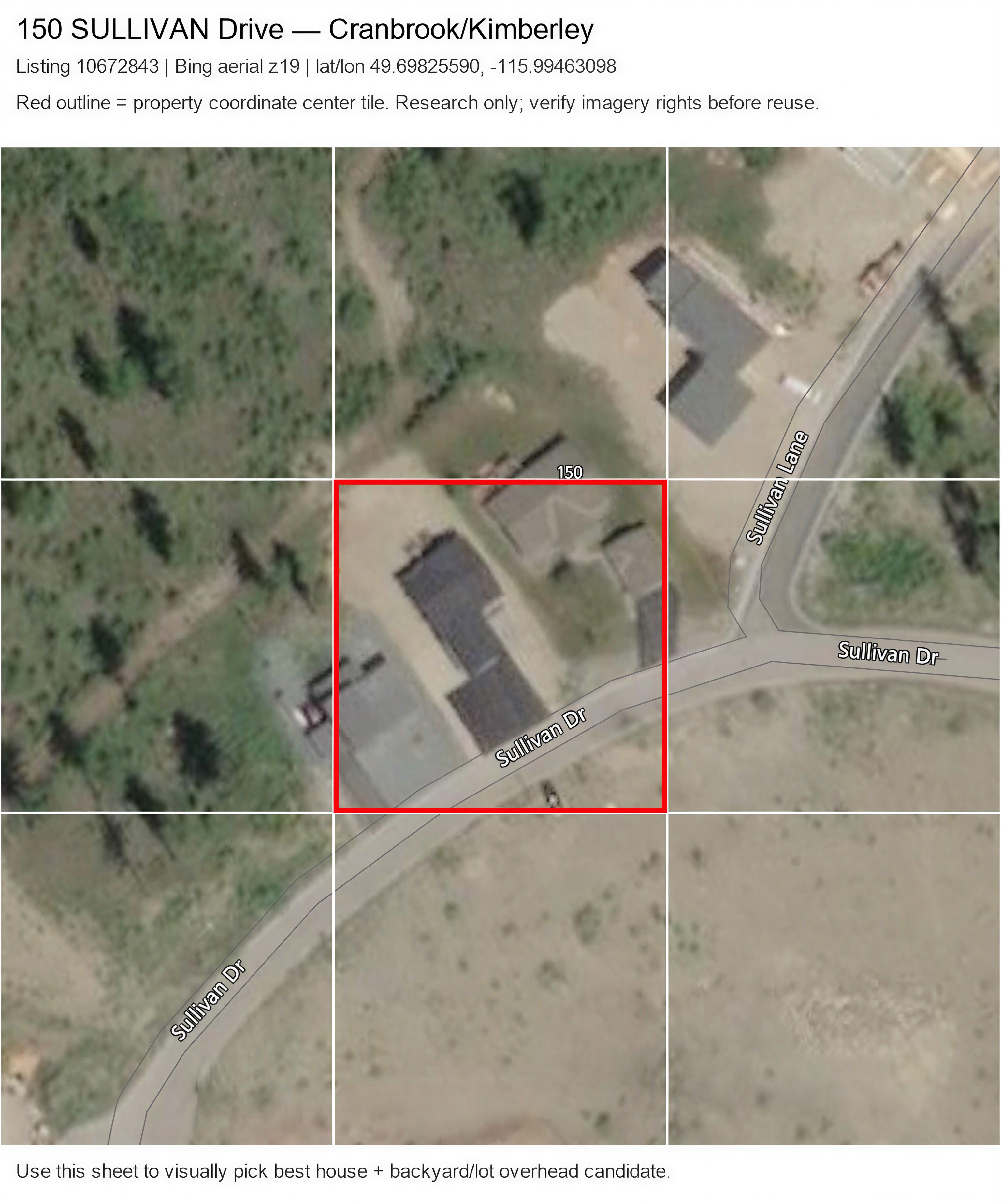
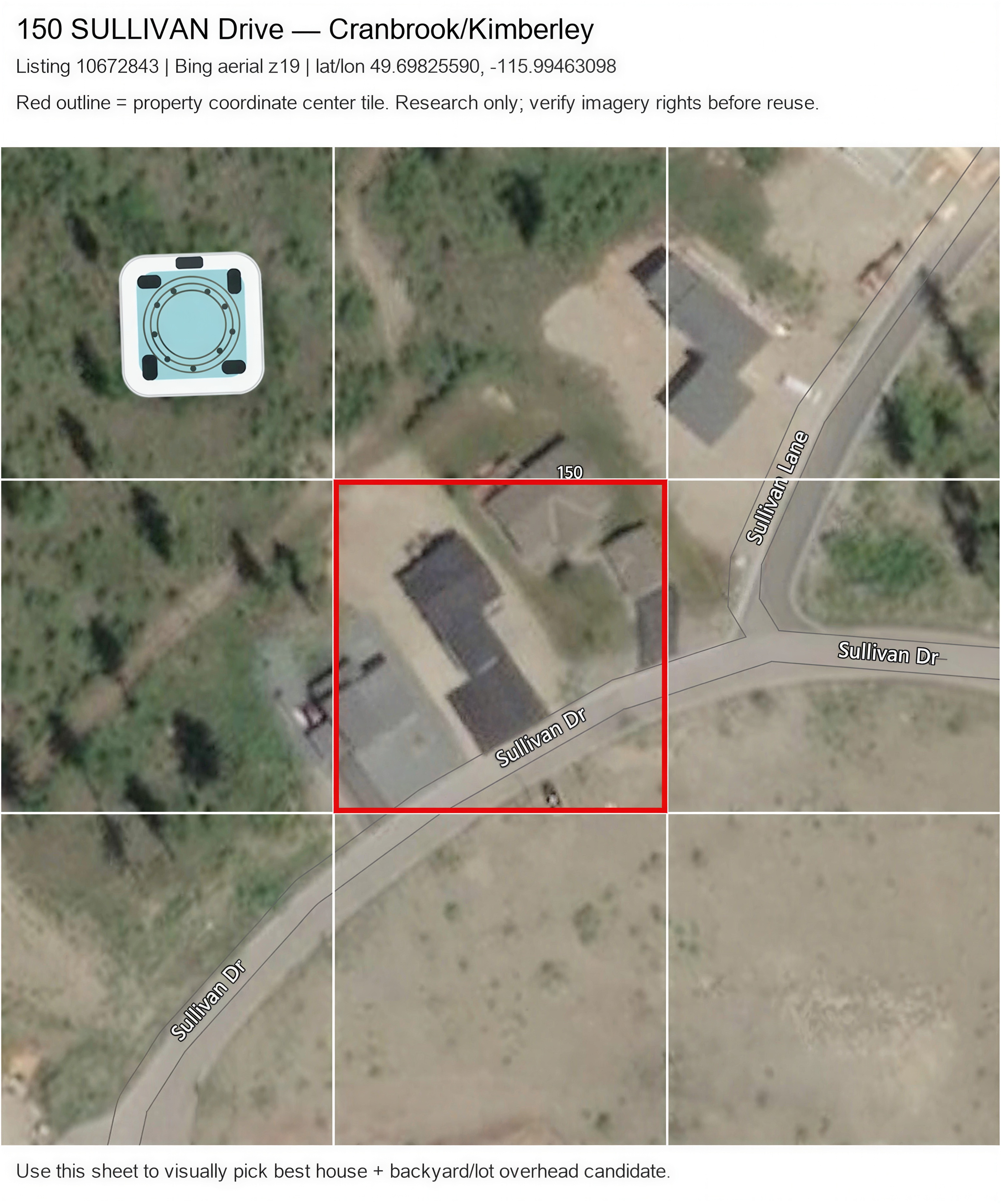
| 150 SULLIVAN Drive10672843 | Bing overhead | 1 | no | 0 / 9 | yes | no | — | point_geocode |
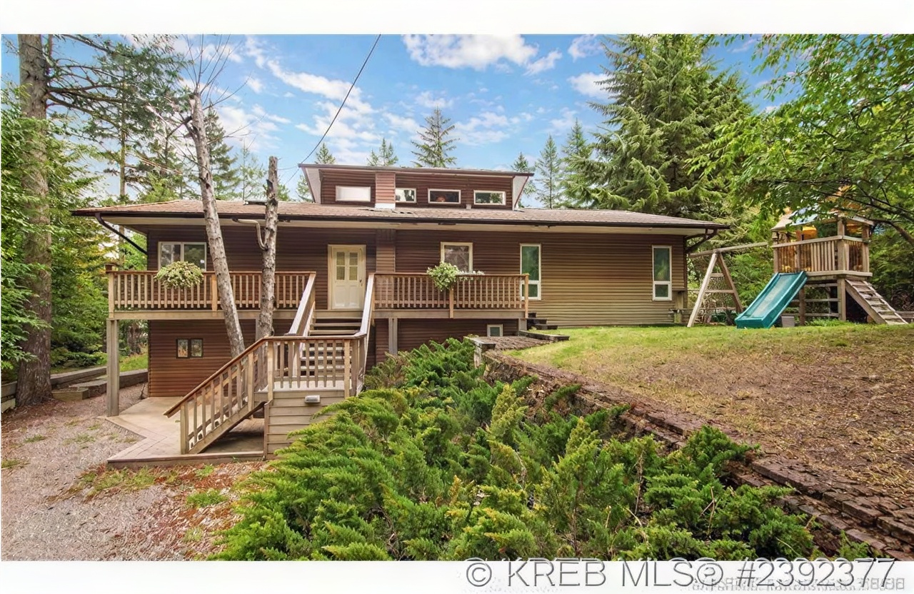
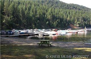
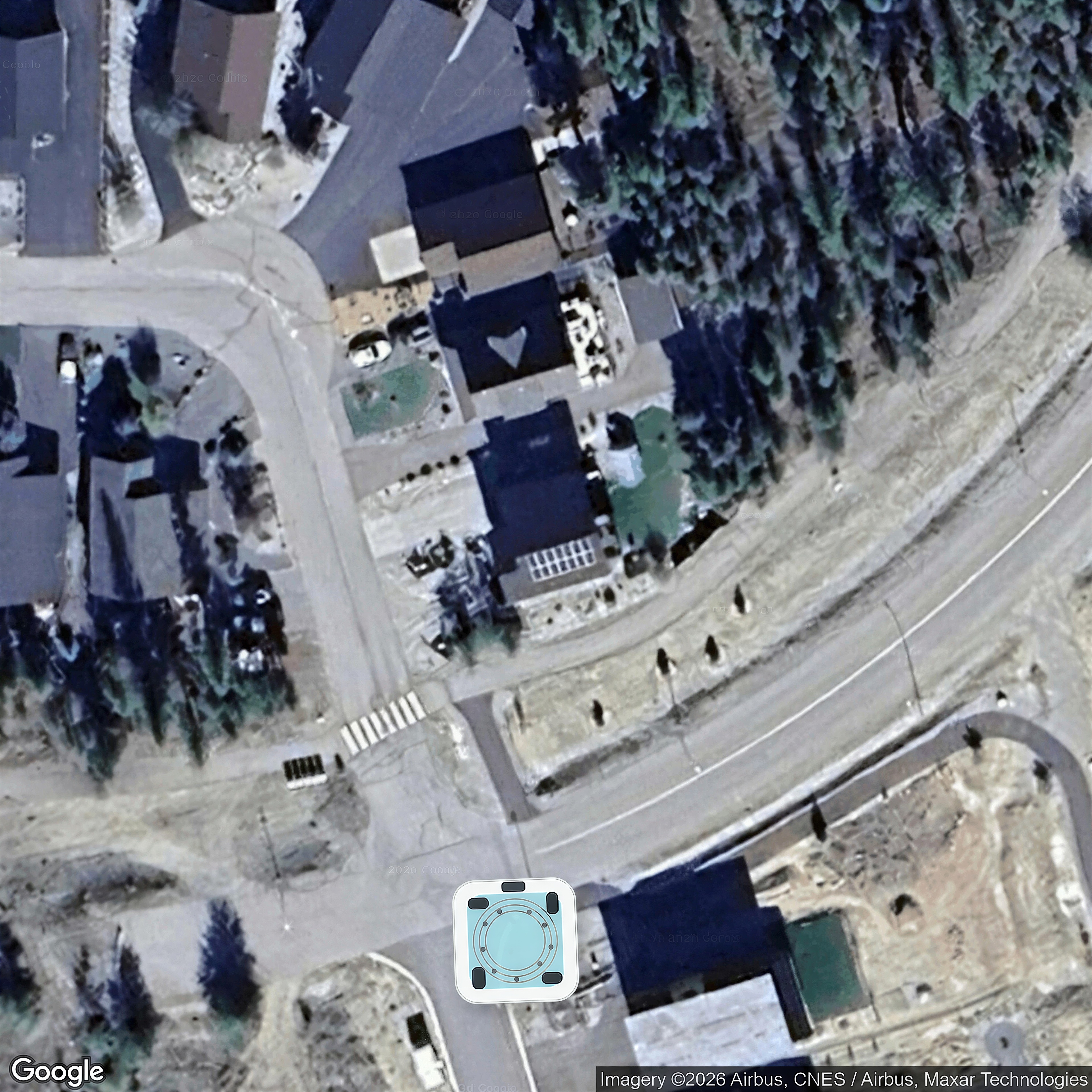
| 9382 MOYIE SHORES ESTATE Road10621595 | ArcGIS overhead | 7,8,12,14,3,6,11 | no | 9 / 0 | — | — | — | listing |
| 814 307TH Avenue20020840 | Google overhead | 1,23,25,26,27,28,30 | no | 0 / 9 | — | yes | yes | listing |
| 112 FOREST CROWNE Crescent10673089 | Google overhead | 1,3,6,7,8,22 | no | 0 / 9 | — | yes | yes | listing |
| 166 304th Avenue20077373 | Google overhead | 3,2,17,24,25 | no | 0 / 9 | — | yes | yes | listing |
| 311 302nd Avenue20073830 | Google overhead | 3,6,7,4,11 | no | 0 / 9 | — | yes | yes | listing |
| 405 7TH Avenue20022685 | Google overhead | 1,2,5,7 | no | 0 / 9 | — | yes | yes | listing |
| 4315 LAKEVIEW Drive20003058 | Google overhead | 1,2,3,4 | no | 0 / 9 | — | yes | yes | listing |
| 530 Trail Street20070160 | Google overhead | 1,2,3 | no | 0 / 9 | — | yes | yes | listing |
| 701 34TH S Avenue10679813 | Google overhead | 1,2,3,4,5,6,7 | no | 0 / 9 | — | yes | yes | listing |
| 821 6TH Avenue10693834 | Google overhead | 1,2,3,4,5 | no | 0 / 9 | — | yes | yes | listing |
| 112 PURCELL Place10685535 | Google overhead | 5,29,1,2,3 | no | 0 / 9 | — | yes | yes | listing |
| 1274 23RD S Street10674183 | Google overhead | 1,2 | no | 0 / 9 | — | yes | yes | listing |
| 2400 34TH S Avenue10680848 | Google overhead | 1,2,3,4,5,29,30 | no | 0 / 9 | — | yes | unclear | listing |
| 22-9481 ESTATES Road10667637 | ArcGIS overhead | — | No | 9 / 0 | — | — | — | listing |
| 7822 MONROE LAKE Road10641909 | ArcGIS overhead | — | No | 9 / 0 | — | — | — | listing |
| 1400 17TH S Street10683127 | Possible elevated | 1,2,3,4,5,6 | unclear | 0 / 9 | — | — | — | listing |
| 405 FOREST CROWNE Close20027834 | Possible elevated | 3,1,2,4,5 | unclear | 0 / 9 | — | — | — | listing |
| 145 STEMWINDER Drive10654223 | Possible elevated | 1,2,3,4 | unclear | 0 / 9 | — | — | — | listing |
| 176 SHADOW MOUNTAIN Boulevard10681930 | Google overhead | 1,2,3,4 | no | 0 / 9 | — | yes | — | listing |
| 1905 16TH S Street10670897 | Google overhead | 1 | no | 0 / 9 | — | yes | — | listing |
| 1909 16TH S Street10652500 | Google overhead | 1 | no | 0 / 9 | — | yes | — | listing |
| 200 BOULDER Creek20022971 | Possible elevated | 19,20,18,1 | unclear | 0 / 9 | — | — | — | listing |
| 209 31st Avenue S20078342 | Google overhead | 30,1,29,28 | no | 0 / 9 | — | yes | — | listing |
| 244 Boulder Creek20087226 | Google overhead | 1,30 | no | 0 / 9 | — | yes | — | listing |
| 254 305TH Avenue20043585 | Google overhead | 1,2 | no | 0 / 9 | — | yes | — | listing |
| 2715 3rd Street S20053388 | Google overhead | 1 | no | 0 / 9 | — | yes | — | listing |
| 2850 BLACK BEAR Crescent20042580 | Google overhead | 1,3,4 | no | 0 / 9 | — | yes | — | listing |
| 2950 Mellor Road20075439 | Google overhead | 1,2,3,4 | no | 0 / 9 | — | yes | — | listing |
| 3101 5th Street S20063623 | Google overhead | 3,1,2 | no | 0 / 9 | — | yes | — | listing |
| 3313 3A Street S20045387 | Google overhead | 1 | no | 0 / 9 | — | yes | — | listing |
| 335 16th Avenue S20080078 | Google overhead | 1 | no | 0 / 9 | — | yes | — | listing |
| 438 ALPINE Crescent20048760 | Google overhead | 1,3,2,4 | no | 0 / 9 | — | yes | — | listing |
| 447 CROWNE RISE Forest10682881 | Google overhead | 1,2,3,4,15 | no | 0 / 9 | — | yes | — | listing |
| 454 Forest Crowne Rise20073637 | Possible elevated | 2,23,27,30 | unclear | 0 / 9 | — | — | — | listing |
| 51 100TH Avenue20040797 | Google overhead | 1,13,14 | no | 0 / 9 | — | yes | — | listing |
| 606 302nd Street20081980 | Google overhead | 4,3,1 | no | 0 / 9 | — | yes | — | listing |
| 610 PONDEROSA Drive20037931 | Google overhead | 3 | no | 0 / 9 | — | yes | — | listing |
| 700 22ND S Avenue10685008 | Possible elevated | 2,11,10,30 | unclear | 0 / 9 | — | — | — | listing |
| 801 22ND S Avenue10669531 | Google overhead | 1,2 | no | 0 / 9 | — | yes | — | listing |
| 805 16TH S Street20020530 | Possible elevated | 1,2 | unclear | 0 / 9 | — | — | — | listing |
| 87-1401 Willowbrook Drive N20086371 | Google overhead | 1,2,21,22,23 | no | 0 / 9 | — | yes | — | listing |
| 9-6324 LAURIER Avenue10669578 | Google overhead | 1,2,3,4 | no | 0 / 9 | — | yes | — | listing |
| 913 17TH S Street10680439 | Google overhead | 1,2 | no | 0 / 9 | — | yes | — | listing |
| 940 313TH Drive20050871 | Google overhead | 2,6 | no | 0 / 9 | — | yes | — | listing |
| 15 Turner Close20083862 | Possible Bing overhead | 20,21,22,23 | no | 0 / 9 | unclear | no | — | listing |
| 147 THE WHINS20021290 | Mapbox overhead | 3,24,26,27,29 | no | 0 / 9 | — | no | yes | listing |
| #37-6674 WARDNER-KIKOMUN Road10606465 | Possible Bing overhead | 1 | no | 0 / 9 | unclear | no | — | subaddress_geocode |
| 18-6674 WARDNER-KIKOMUM Road10626846 | Possible Bing overhead | 1,2,16 | no | 0 / 9 | unclear | no | — | subaddress_geocode |
| 129 STEMWINDER Drive10667018 | Google overhead | — | No | 0 / 9 | — | yes | — | listing |
| 1357 SOUTHVIEW Drive10612922 | Google overhead | — | No | 0 / 9 | — | yes | — | listing |
| 140 River Drive20079642 | Google overhead | — | No | 0 / 9 | — | yes | — | listing |
| 1464 SOUTHVIEW Drive10667357 | Google overhead | — | no | 0 / 9 | — | yes | — | listing |
| 153 STEMWINDER Drive10552417 | Google overhead | — | No | 0 / 9 | — | yes | — | listing |
| 1646 MT PYRAMID Crescent20069196 | Google overhead | — | No | 0 / 9 | — | yes | — | listing |
| 1701 3RD S Avenue10657484 | Google overhead | — | No | 0 / 9 | — | yes | — | listing |
| 1900 12th Street S20057967 | Google overhead | — | no | 0 / 9 | — | yes | — | listing |
| 205 18 Street S20040986 | Google overhead | — | No | 0 / 9 | — | yes | — | listing |
| 208 CROWNE TERRACE Forest10625065 | Google overhead | — | No | 0 / 9 | — | yes | — | listing |
| 211 CROWNE TERRACE Forest10683832 | Google overhead | — | No | 0 / 9 | — | yes | — | listing |
| 2210 13TH S Avenue10685240 | Google overhead | — | No | 0 / 9 | — | yes | — | listing |
| 300 LEGACY LOOKOUT10681908 | Google overhead | — | No | 0 / 9 | — | yes | — | listing |
| 303 Legacy Lookout20047369 | Google overhead | — | No | 0 / 9 | — | yes | — | listing |
| 3104 5th Street S20046086 | Google overhead | — | No | 0 / 9 | — | yes | — | listing |
| 317 Legacy Lookout20071254 | Google overhead | — | No | 0 / 9 | — | yes | — | listing |
| 32-1401 30TH N Avenue20026282 | Google overhead | — | No | 0 / 9 | — | yes | — | listing |
| 350 Legacy Lookout20050060 | Google overhead | — | No | 0 / 9 | — | yes | — | listing |
| 365 Legacy Lookout20087063 | Google overhead | — | No | 0 / 9 | — | yes | — | listing |
| 402 ALPINE Crescent20021100 | Google overhead | — | No | 0 / 9 | — | yes | — | listing |
| 419 ALPINE Crescent10470205 | Google overhead | — | No | 0 / 9 | — | yes | — | listing |
| 518 FOREST CROWNE Drive10669940 | Google overhead | — | No | 0 / 9 | — | yes | — | listing |
| 610 TRAIL Street20022594 | Google overhead | — | No | 0 / 9 | — | yes | — | listing |
| 6392 TIE LAKE Road10574318 | Google overhead | — | No | 0 / 9 | — | yes | — | point |
| 717 27th Avenue S20060670 | Google overhead | — | No | 0 / 9 | — | yes | — | listing |
| 725 34TH S Avenue10676696 | Google overhead | — | No | 0 / 9 | — | yes | — | listing |
| 804 16th Street S20085434 | Google overhead | — | No | 0 / 9 | — | yes | — | listing |
| 812 17TH S Street10658252 | Google overhead | — | No | 0 / 9 | — | yes | — | listing |
| 824 309TH Street10665147 | Google overhead | — | No | 0 / 9 | — | yes | — | listing |
| 9314 LANGEVIN Street10675651 | Google overhead | — | No | 0 / 9 | — | yes | — | listing |
| 9905 OSPREY LANDING Drive10678423 | Photo not found | 16,18,20,21,22,23,24 | no | 0 / 9 | no | no | — | point_geocode |
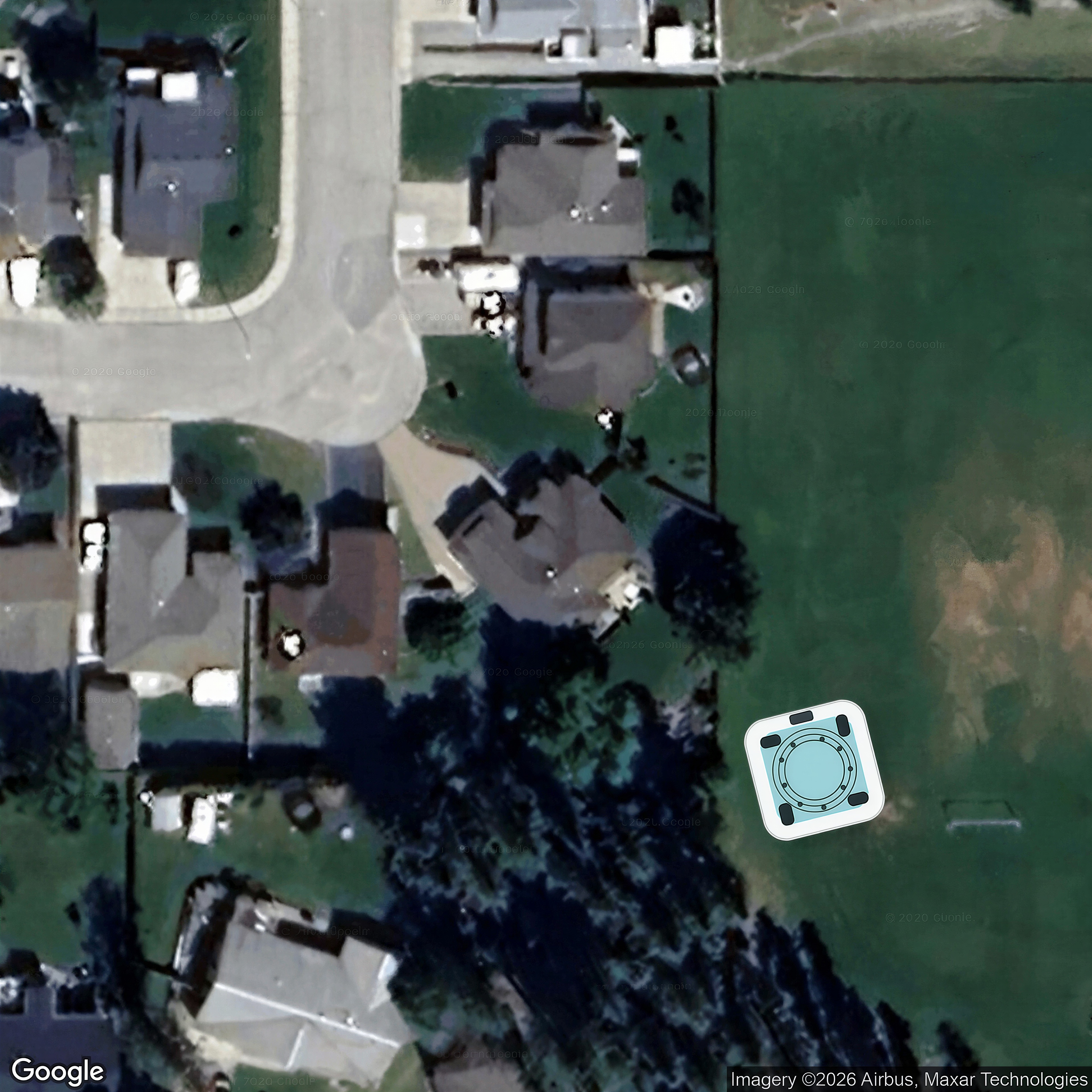
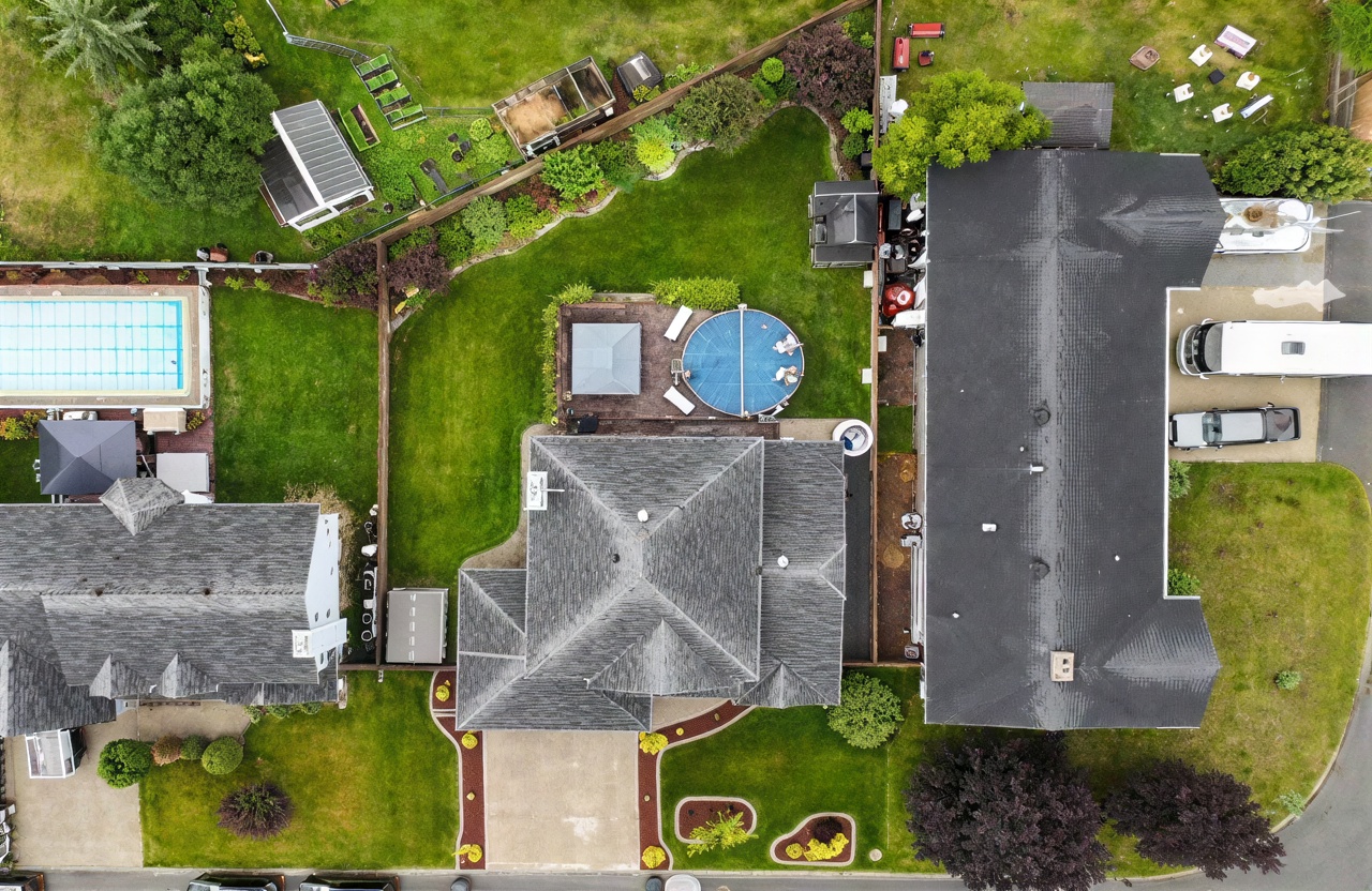
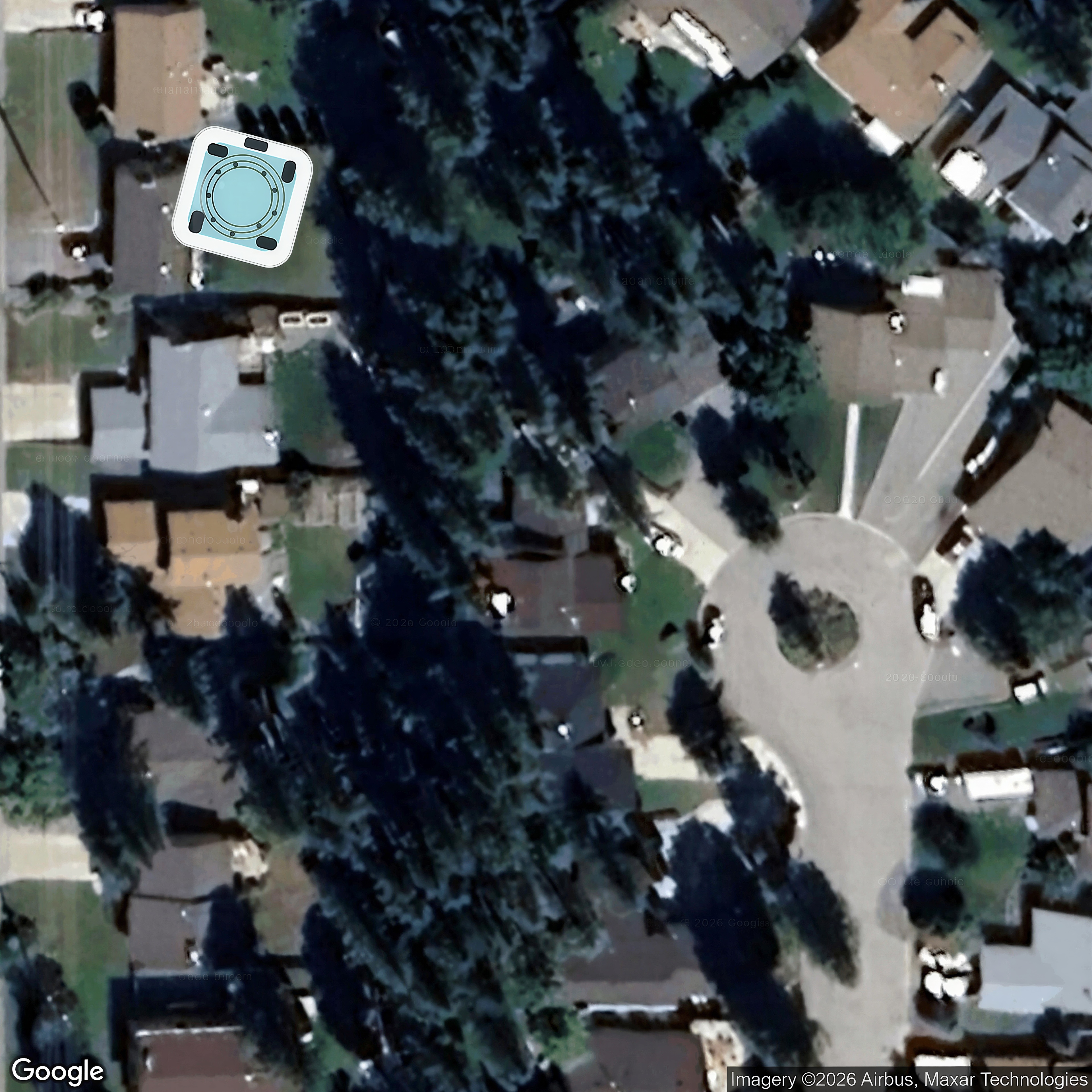
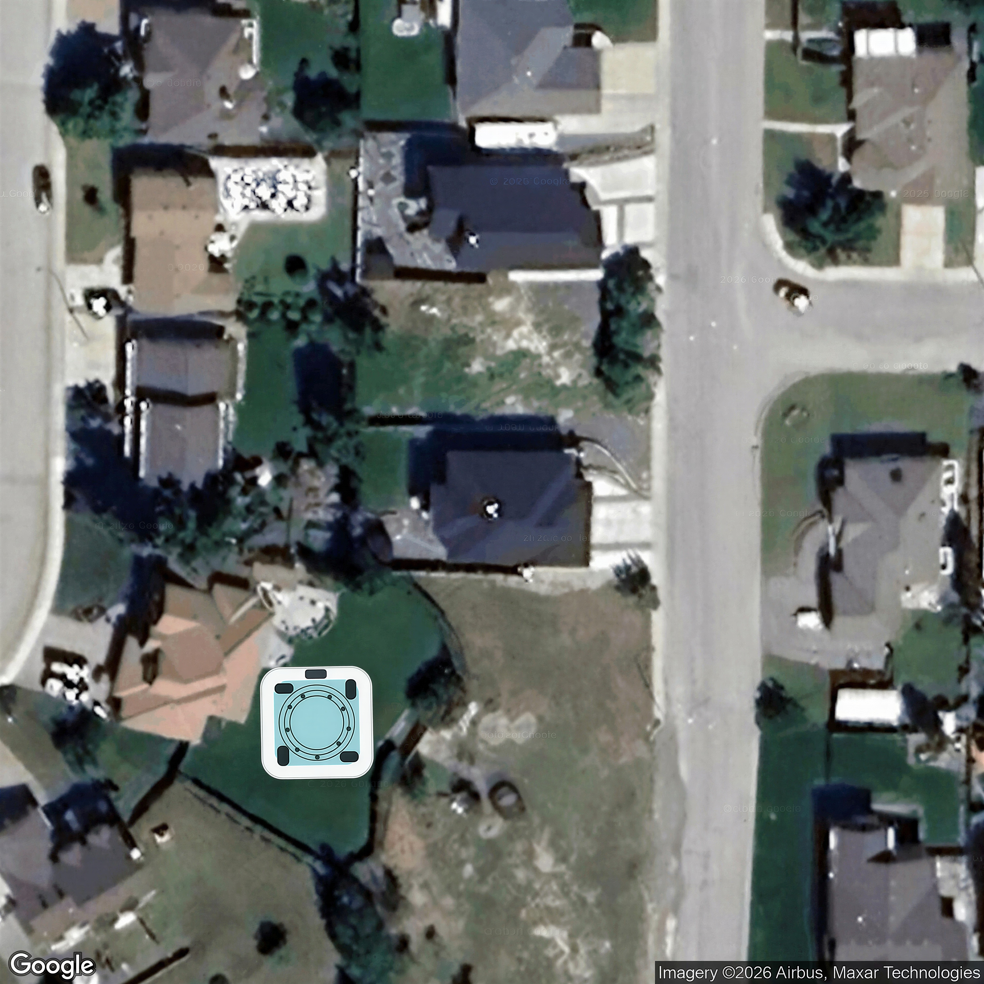
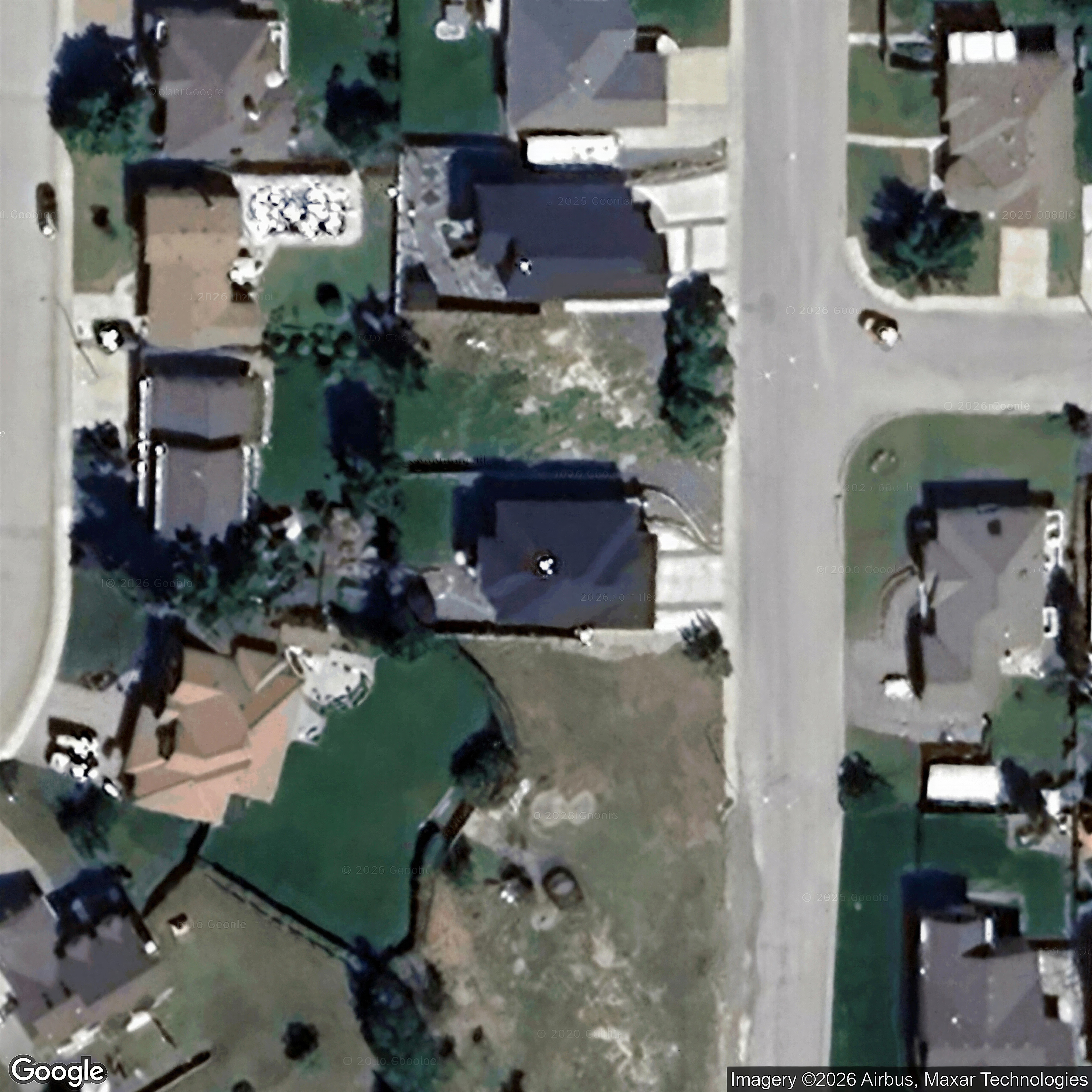
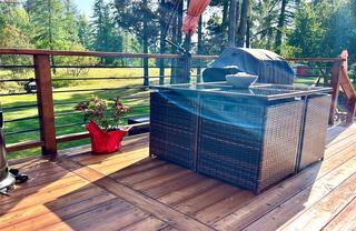
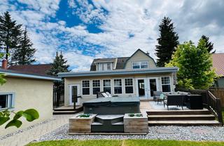
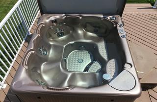
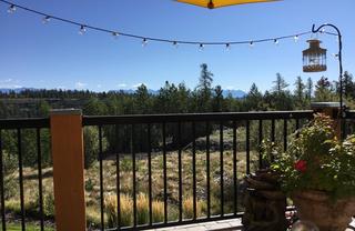
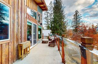
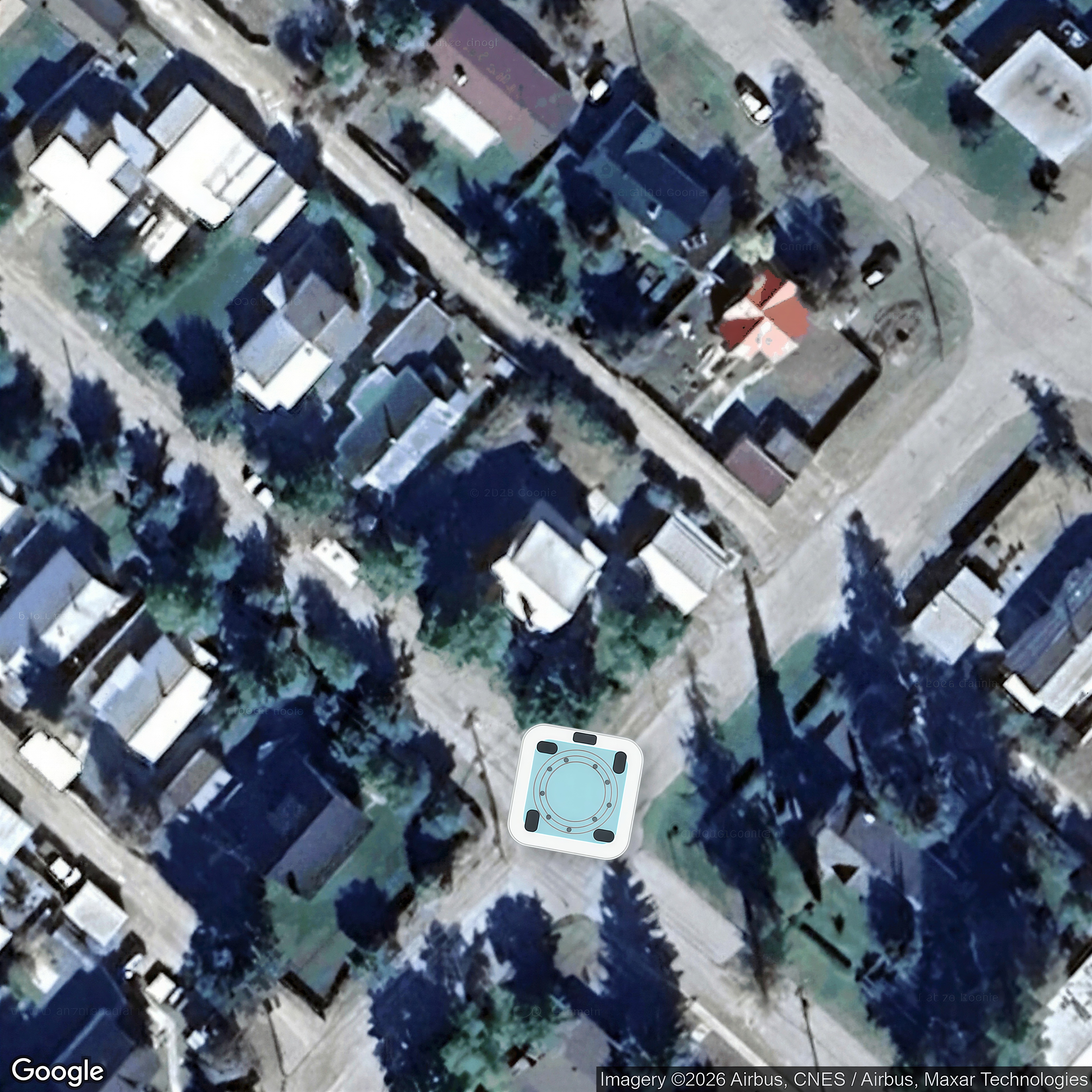
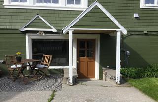
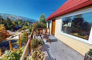
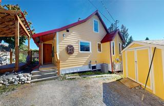
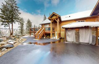
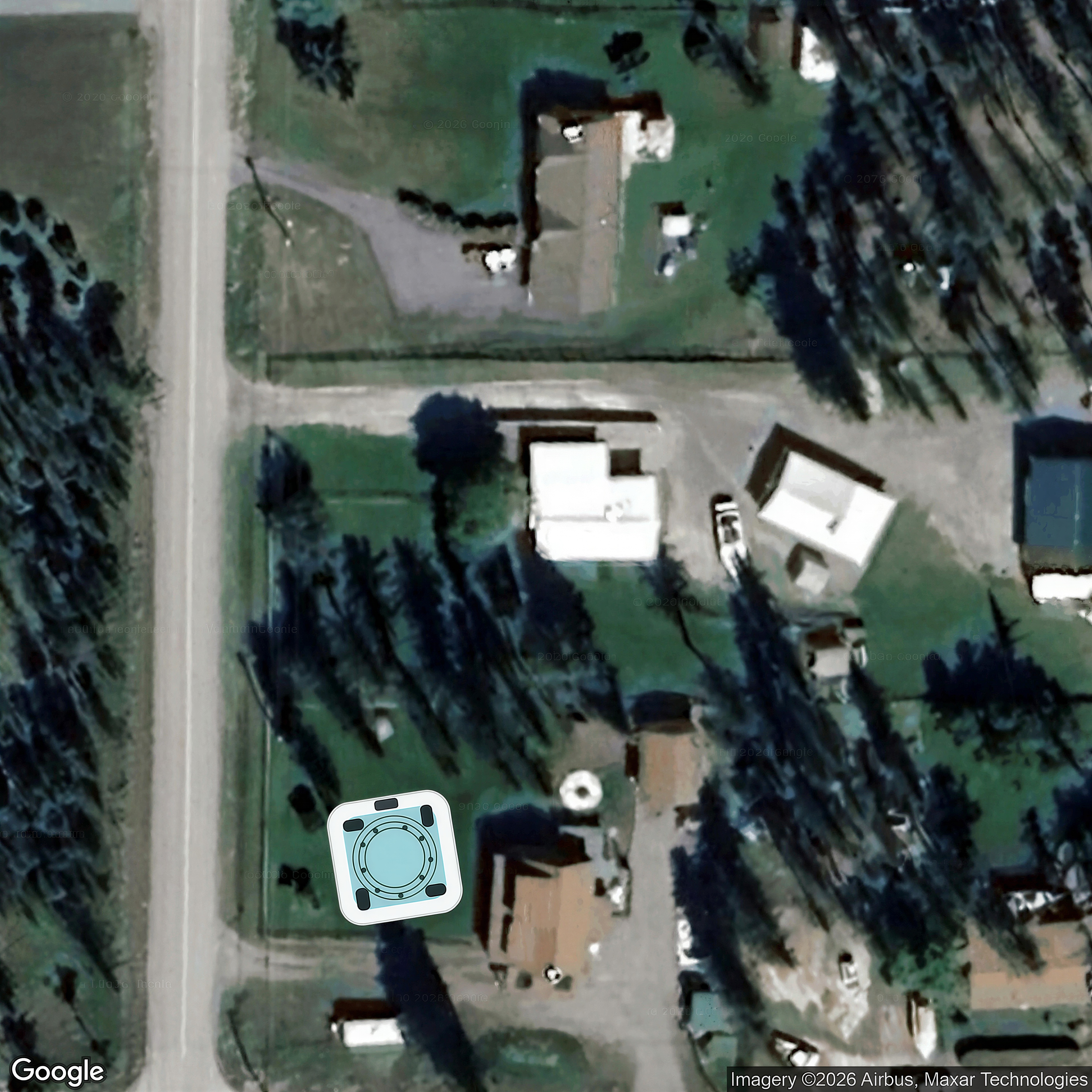
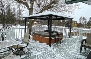
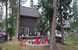
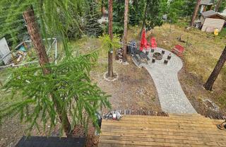
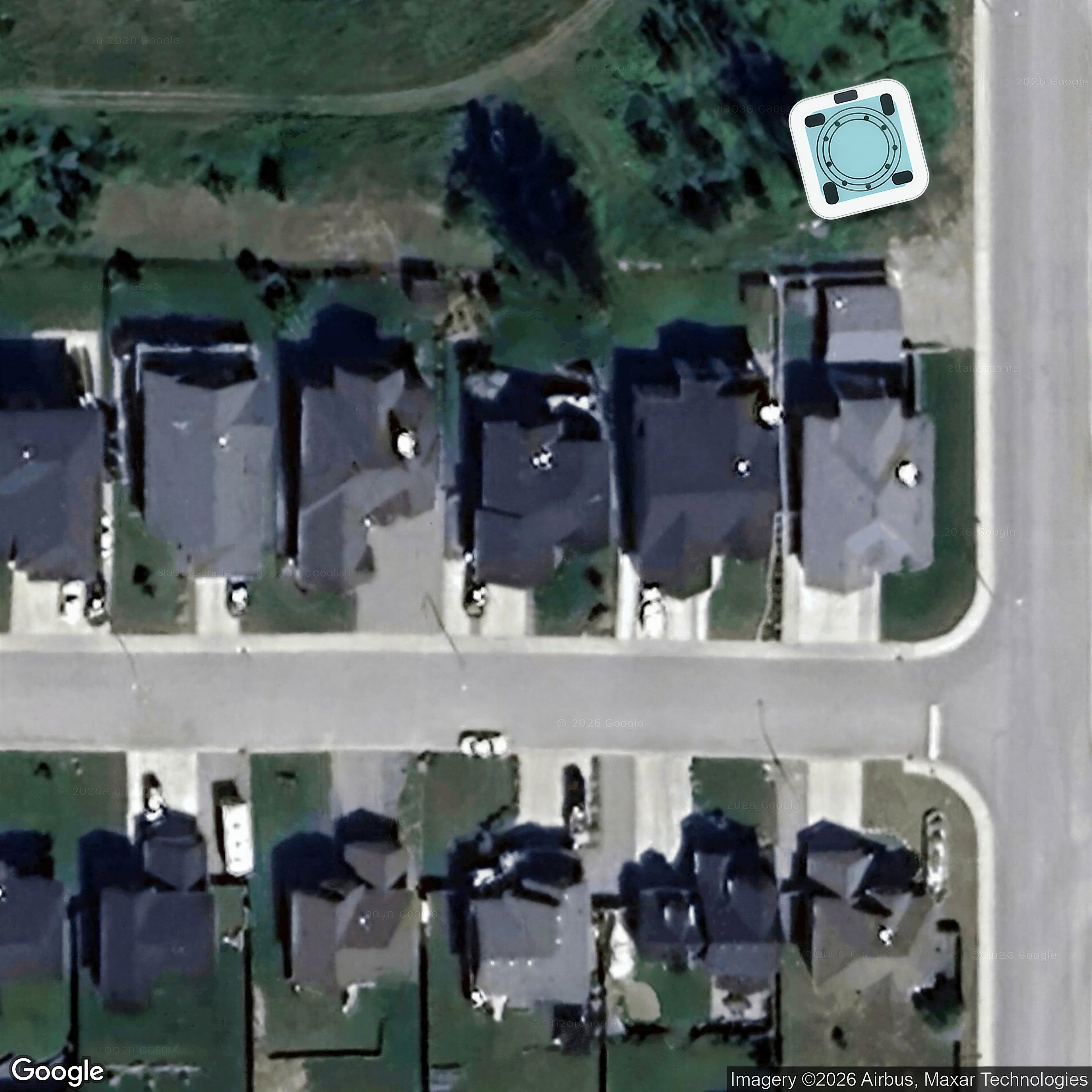
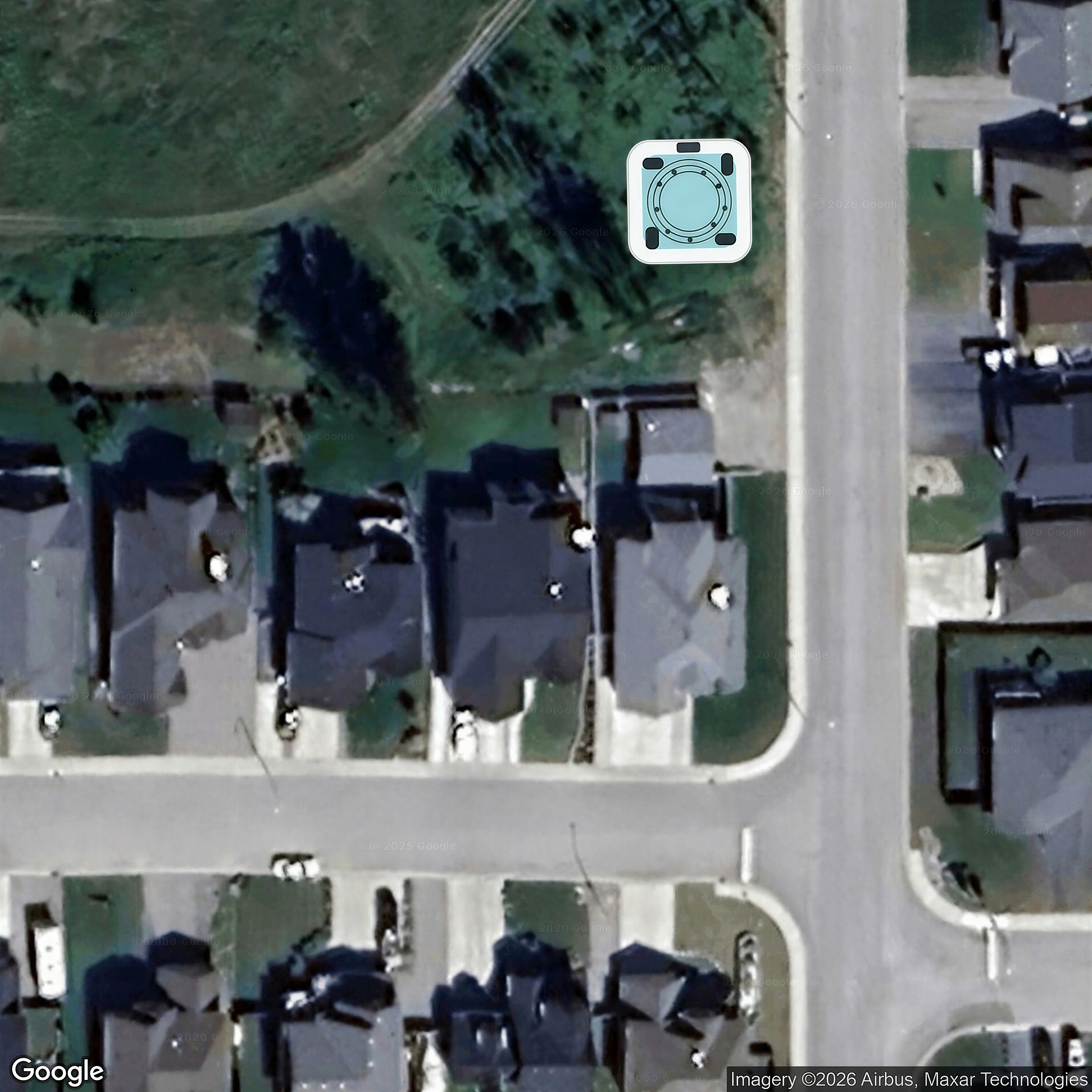
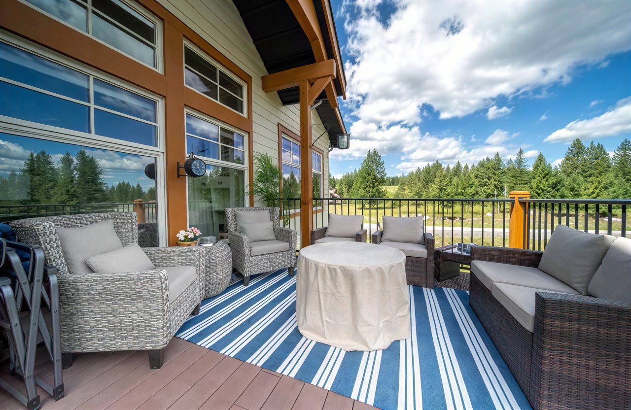
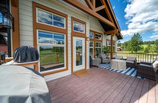
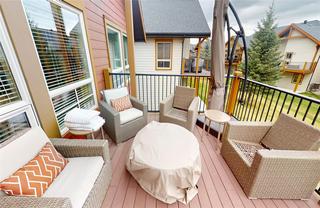
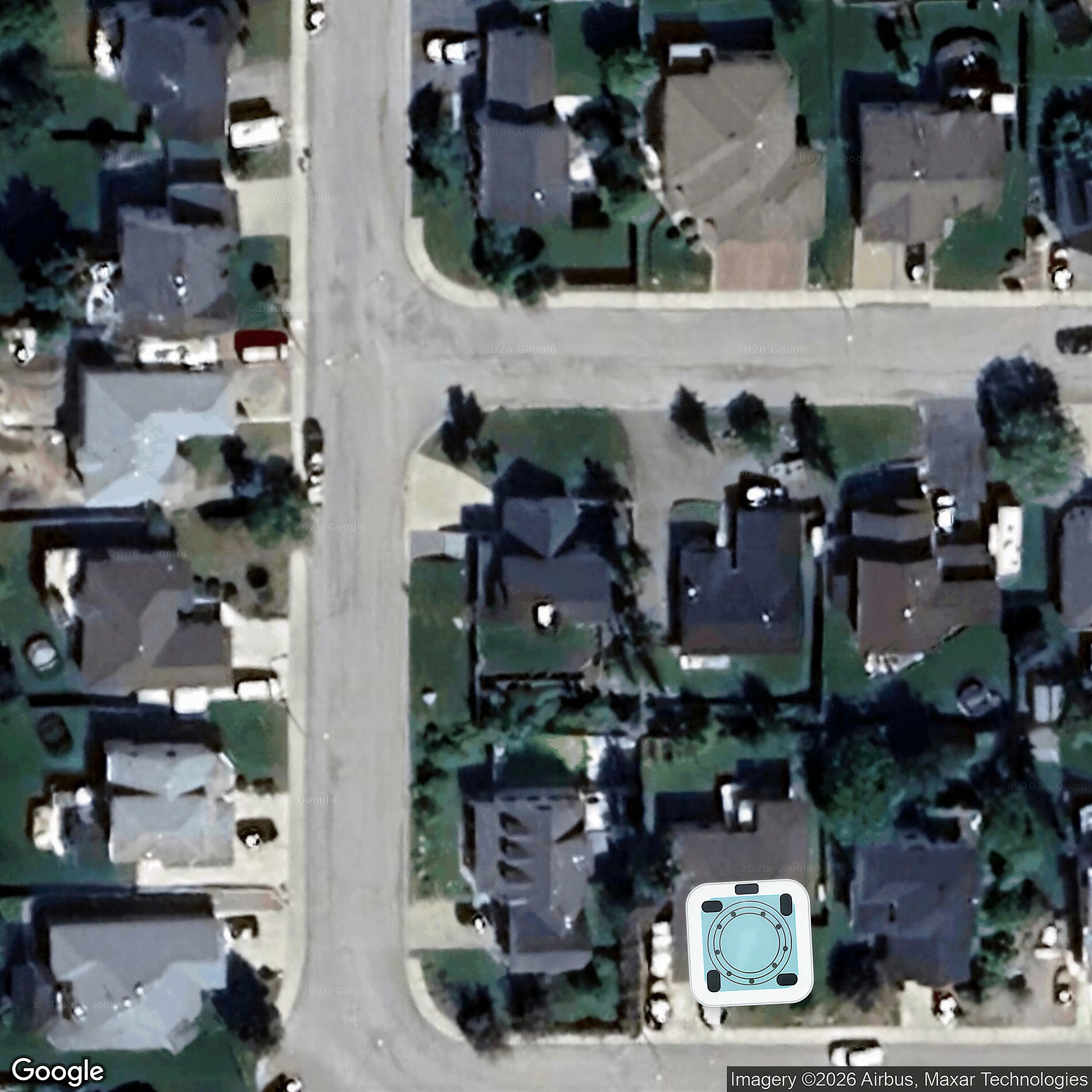
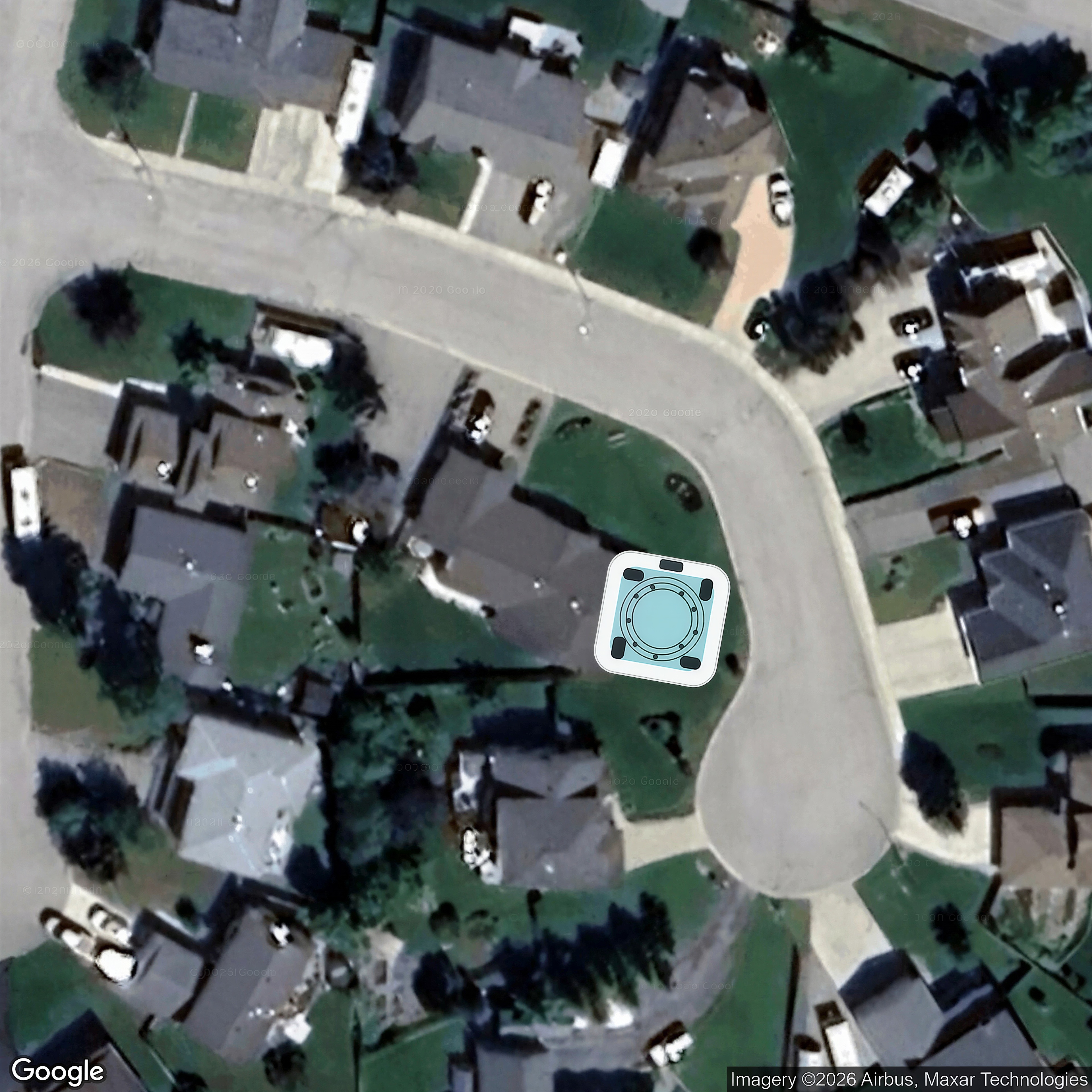
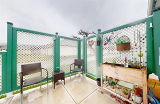
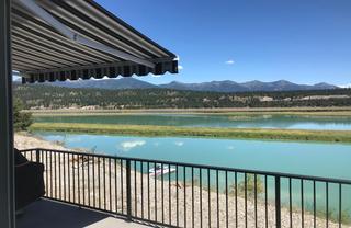
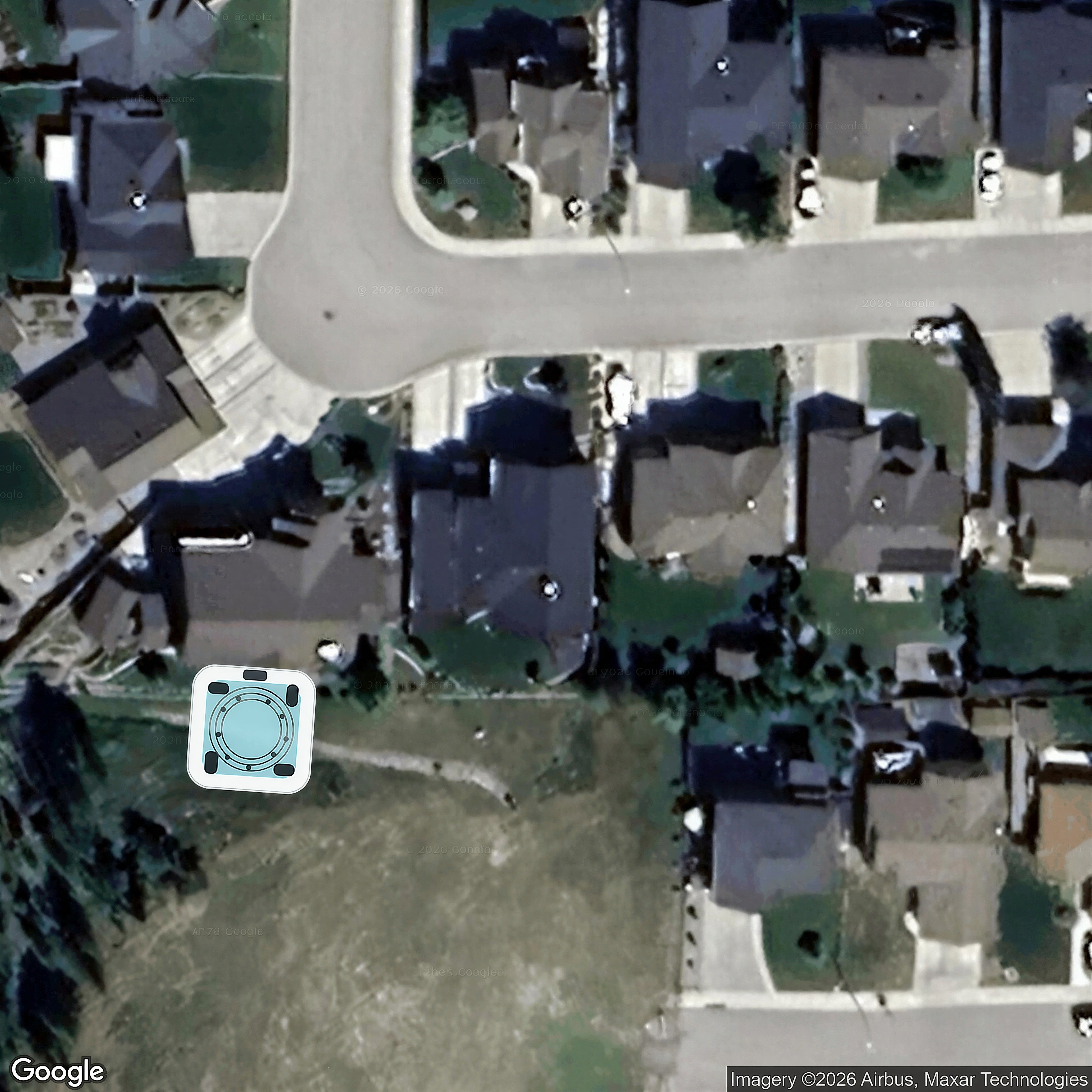
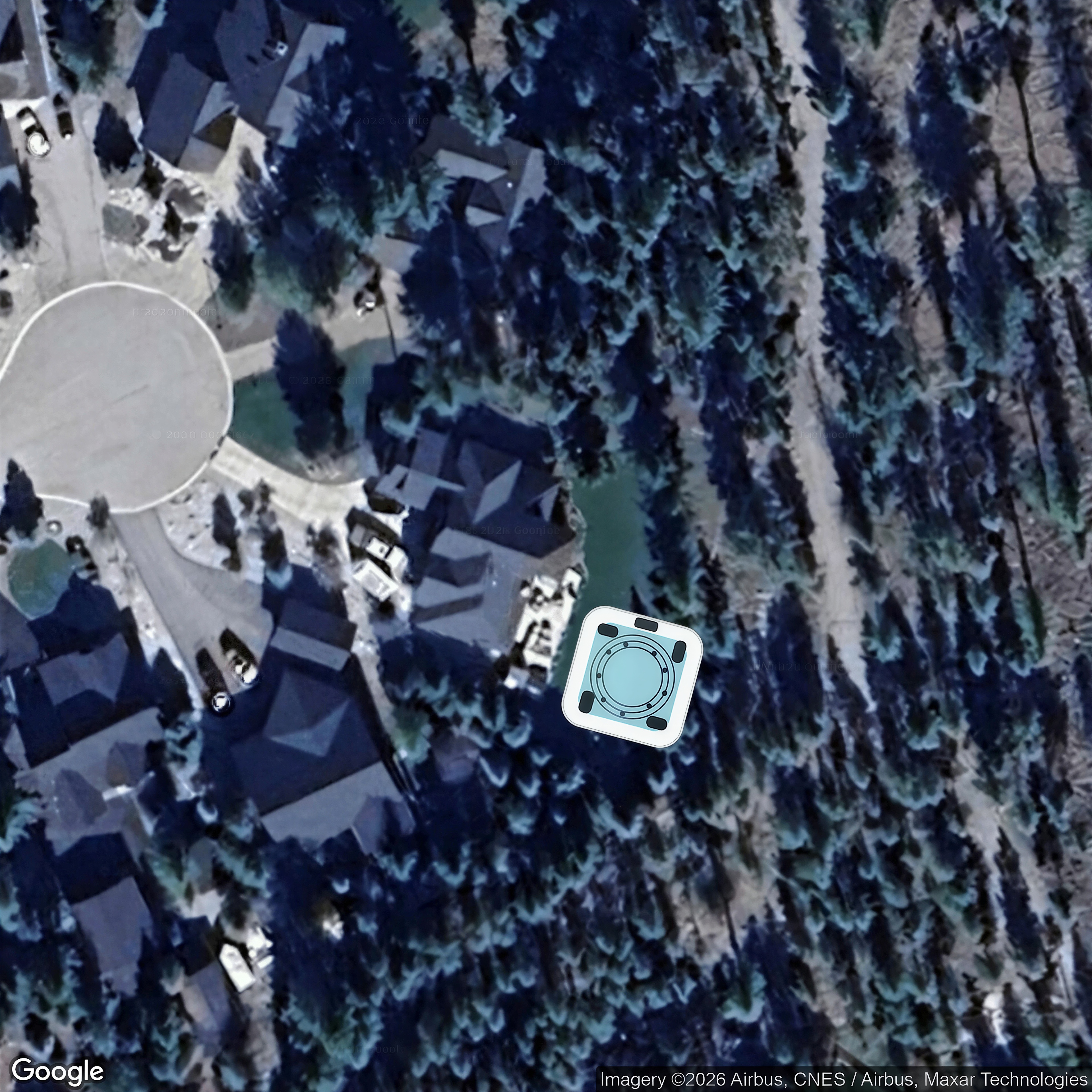
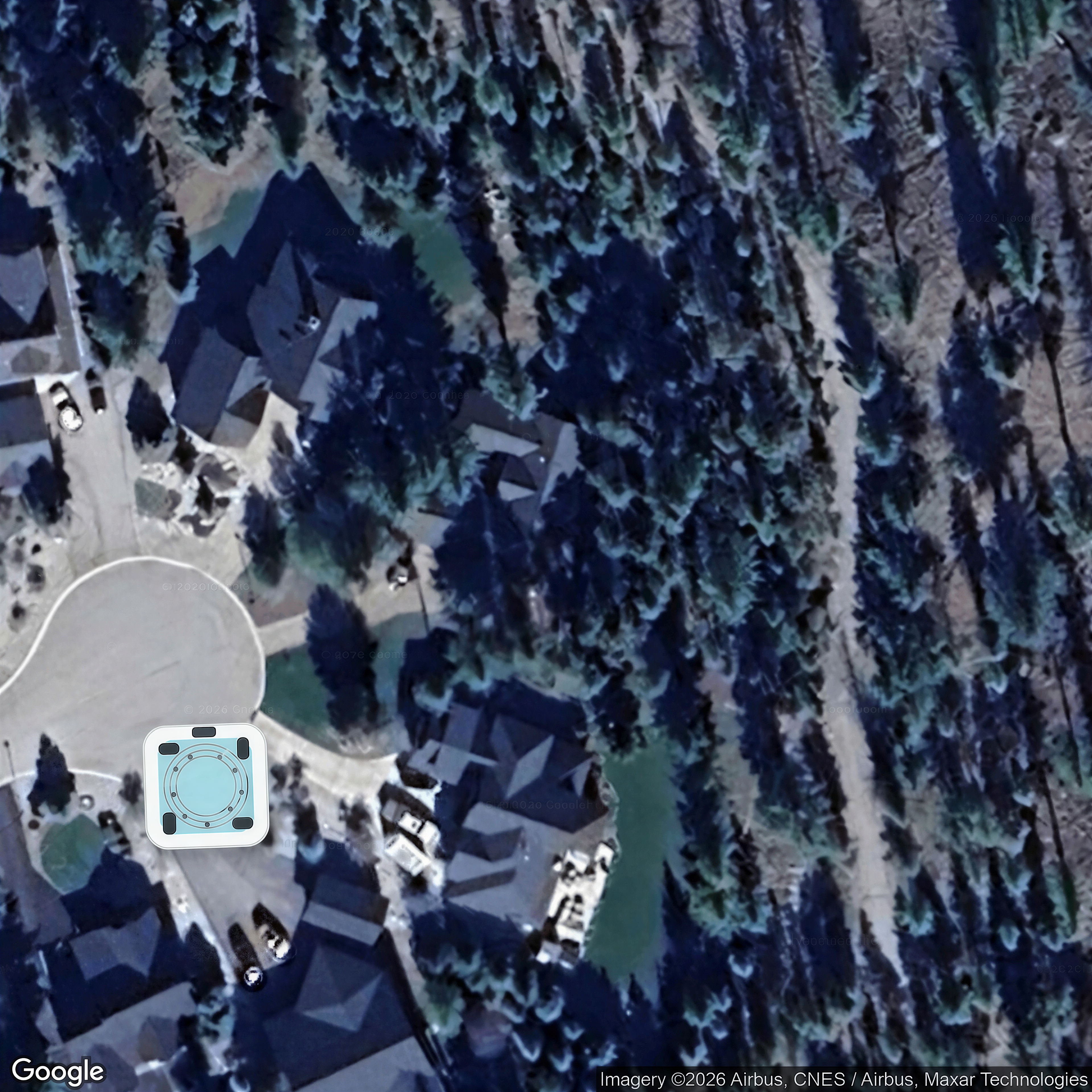
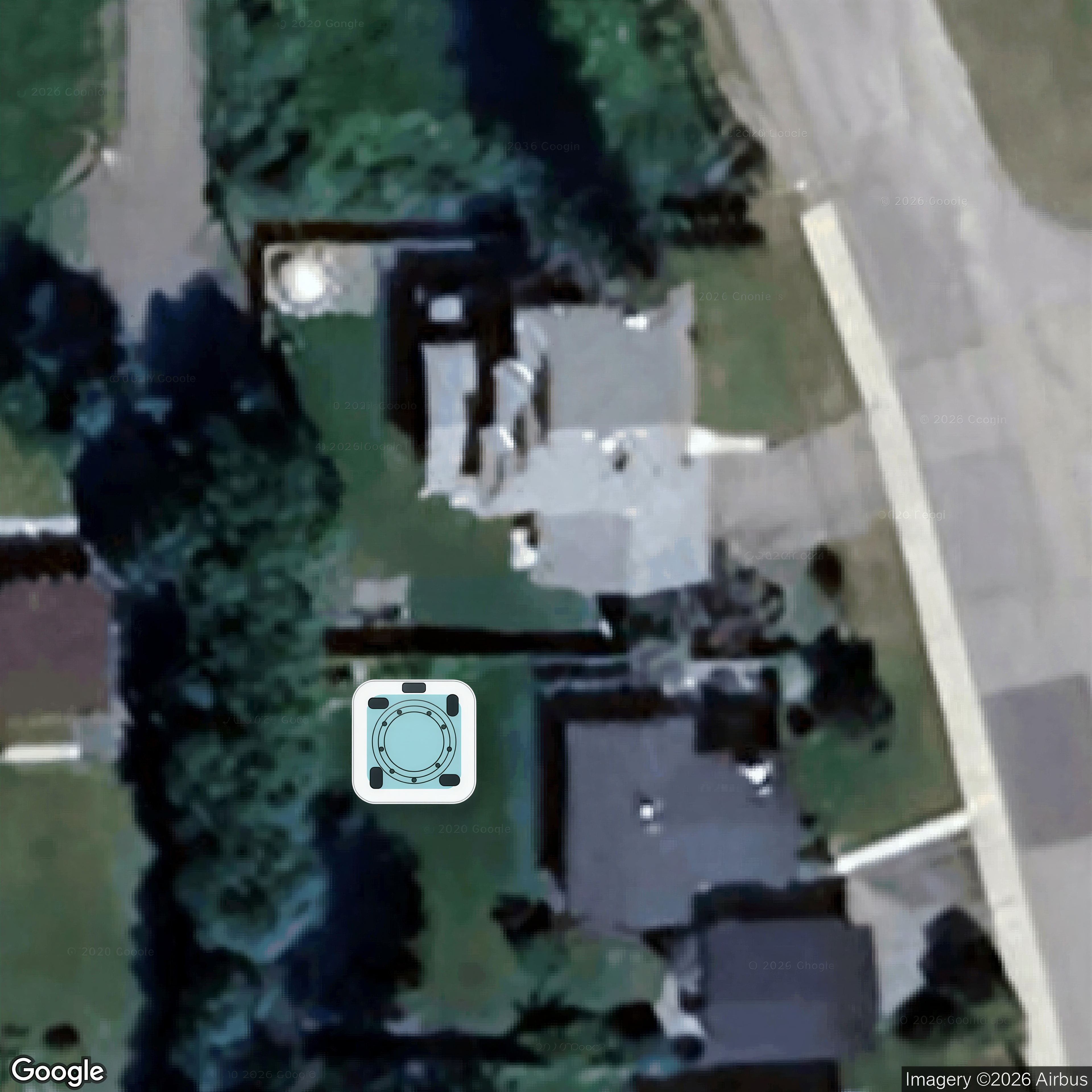
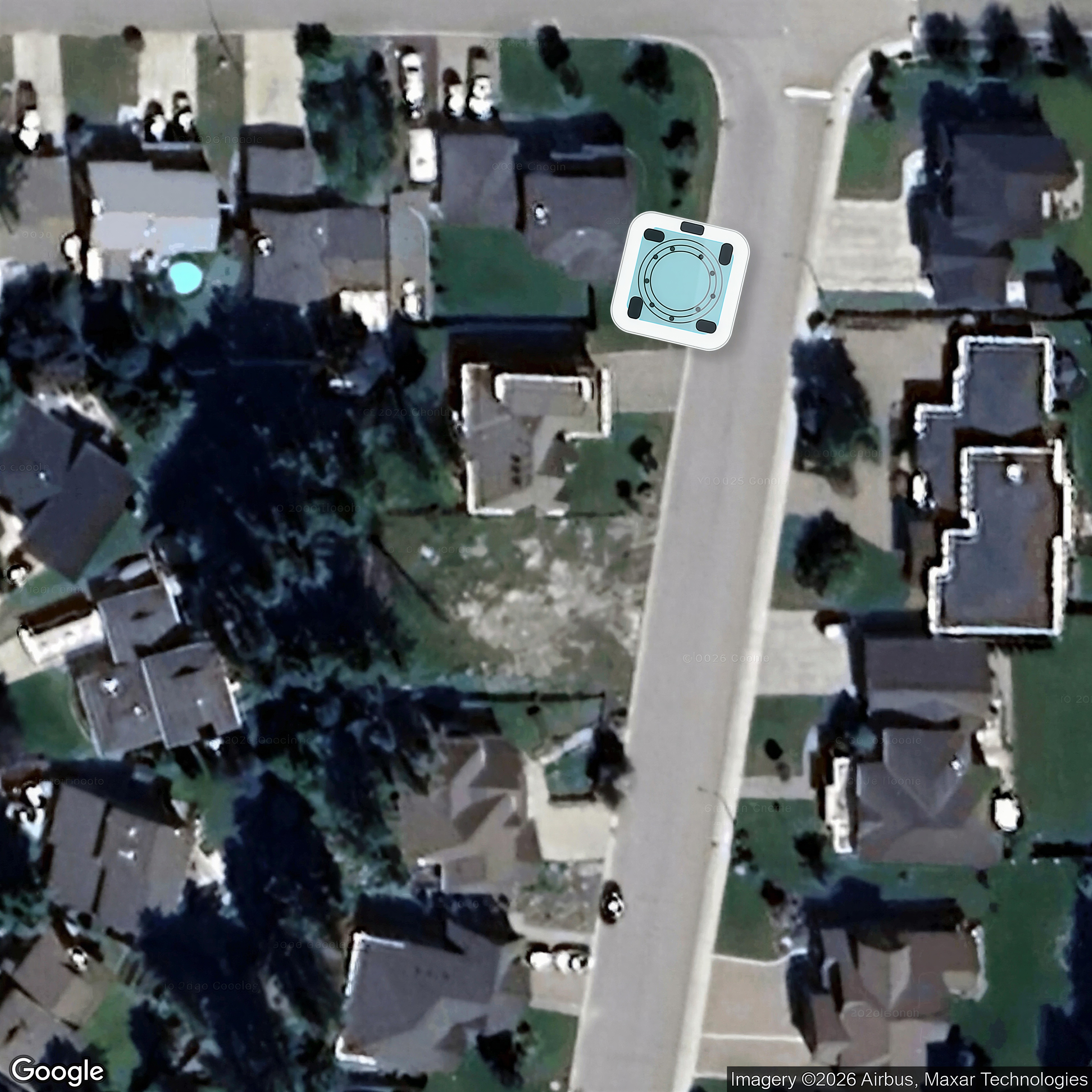
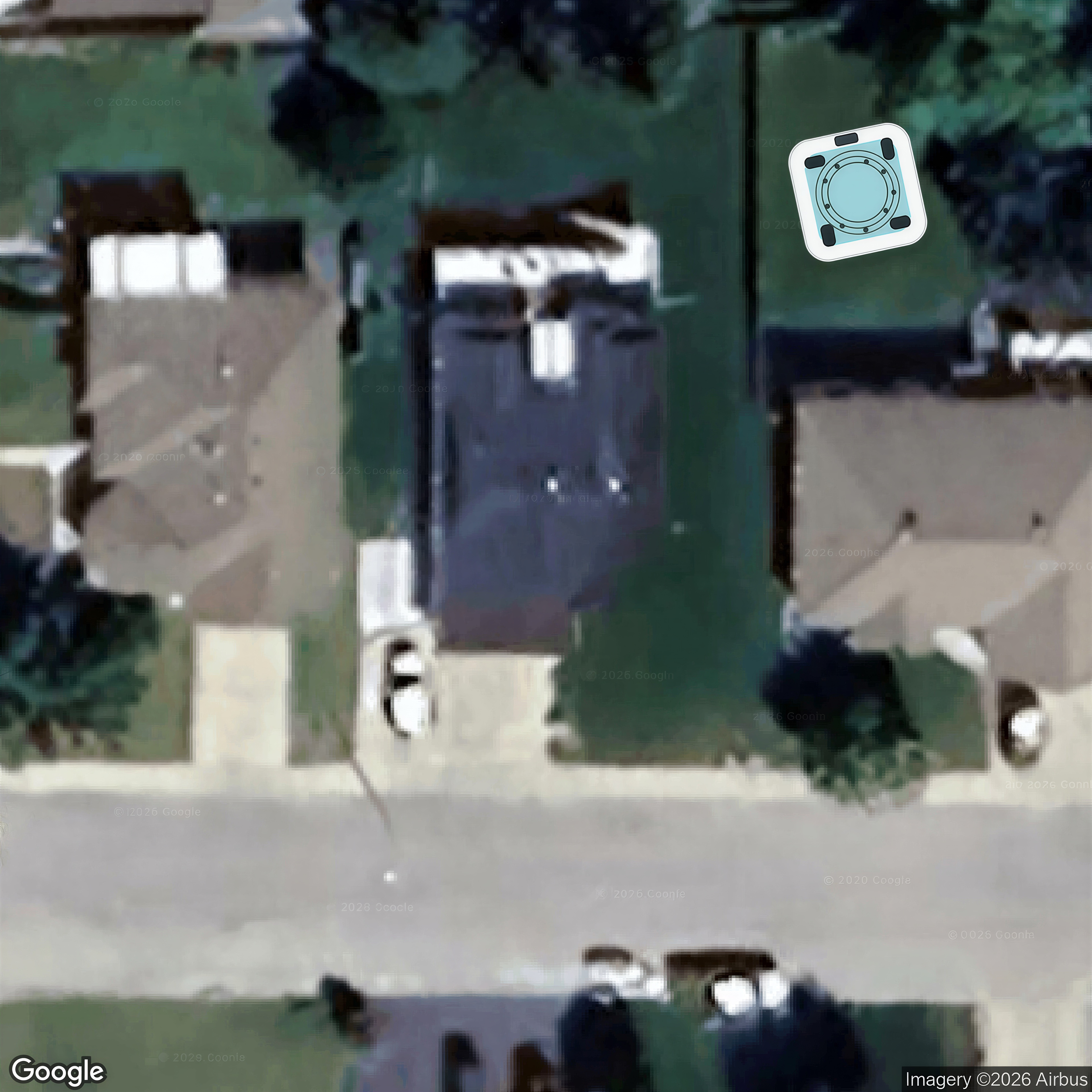
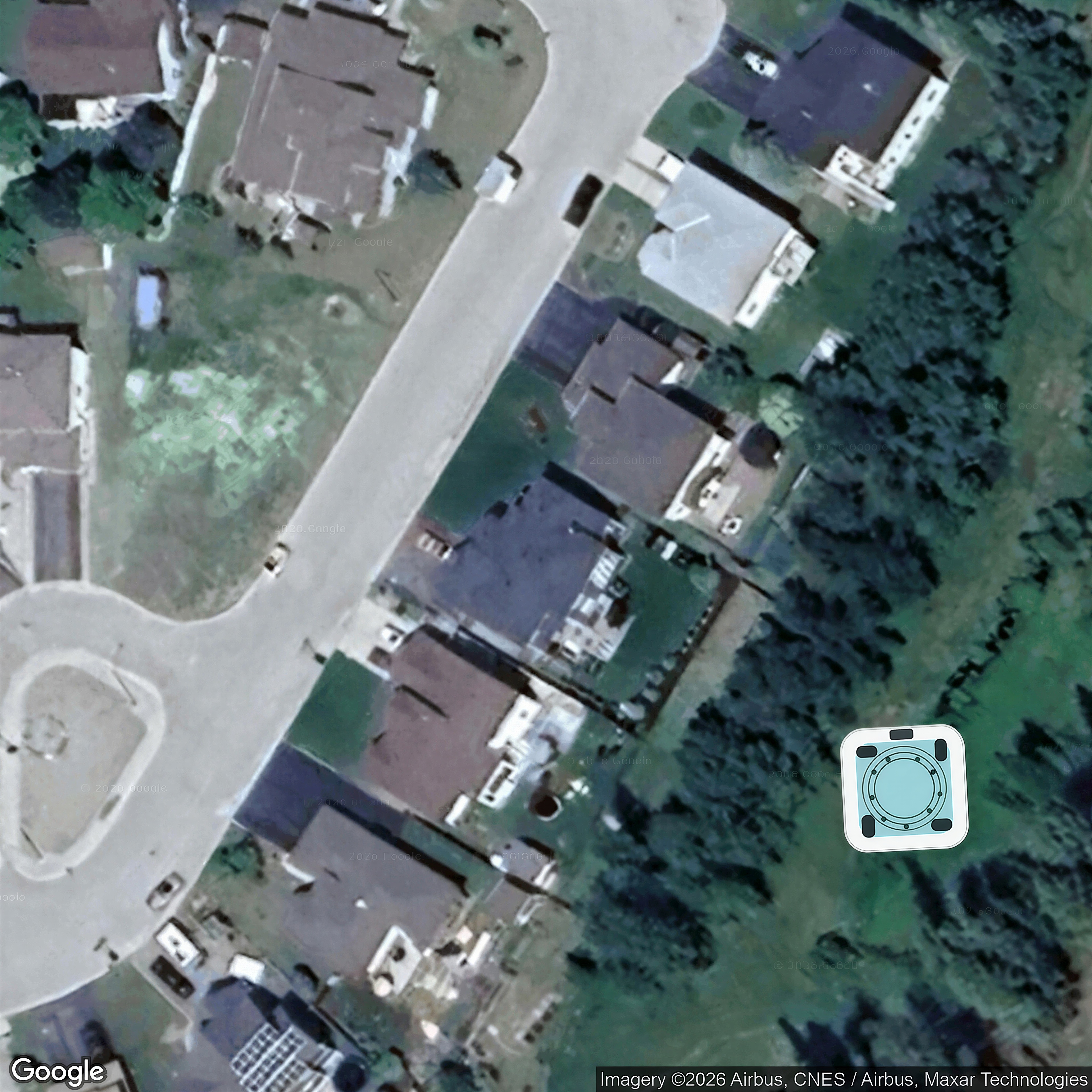
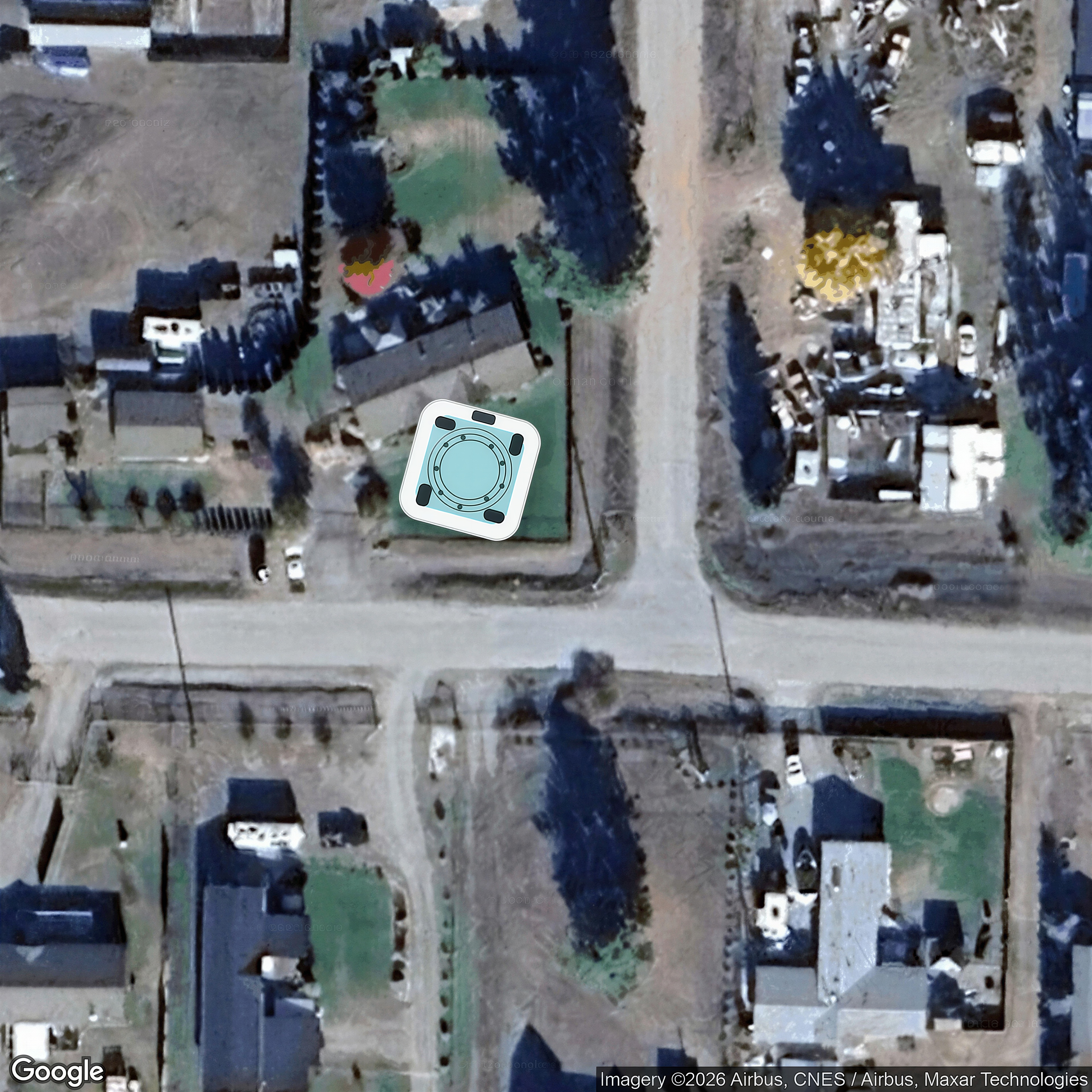
 Tub concept mockup · SeedVR 4x
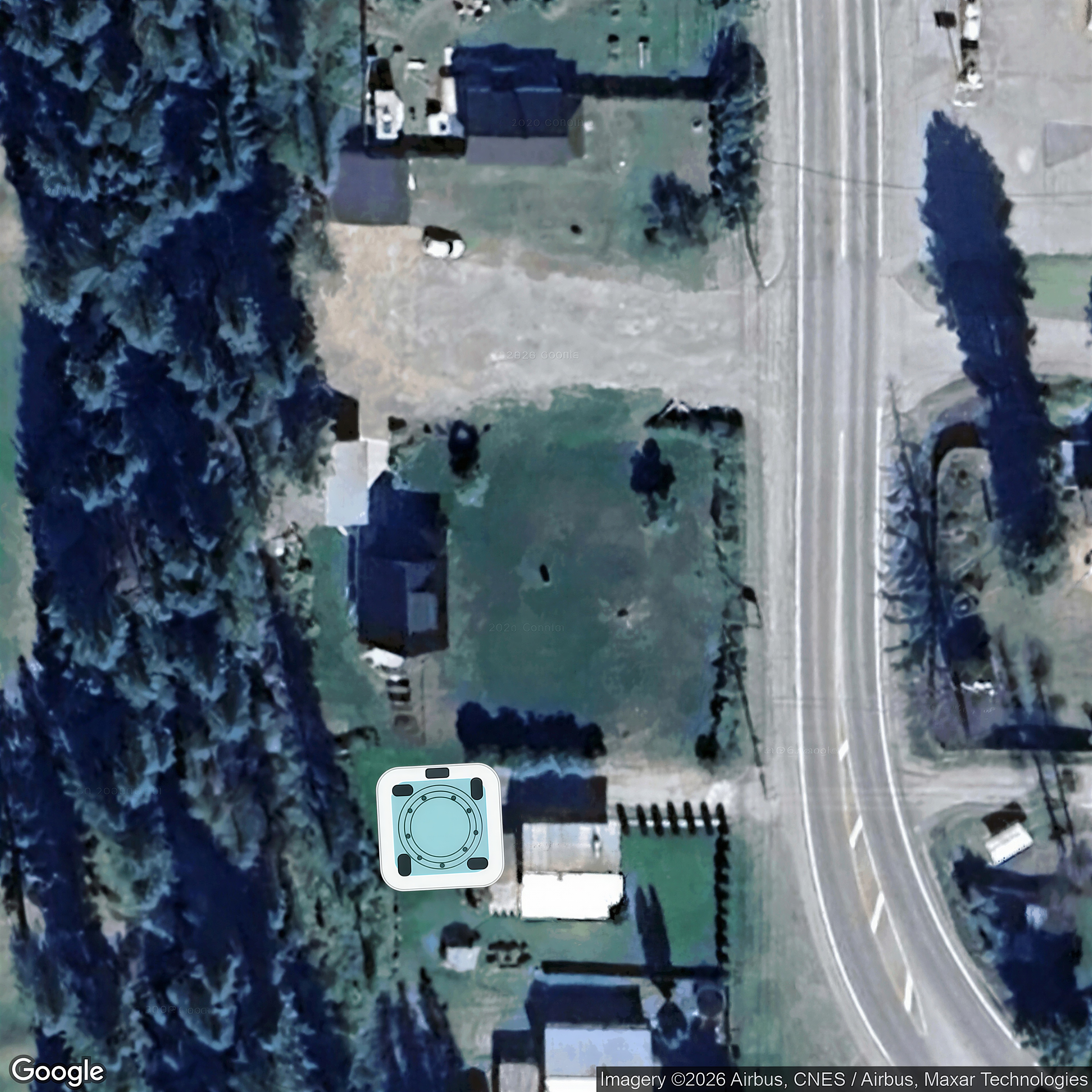
 Concept mockup only — hot tub digitally added.
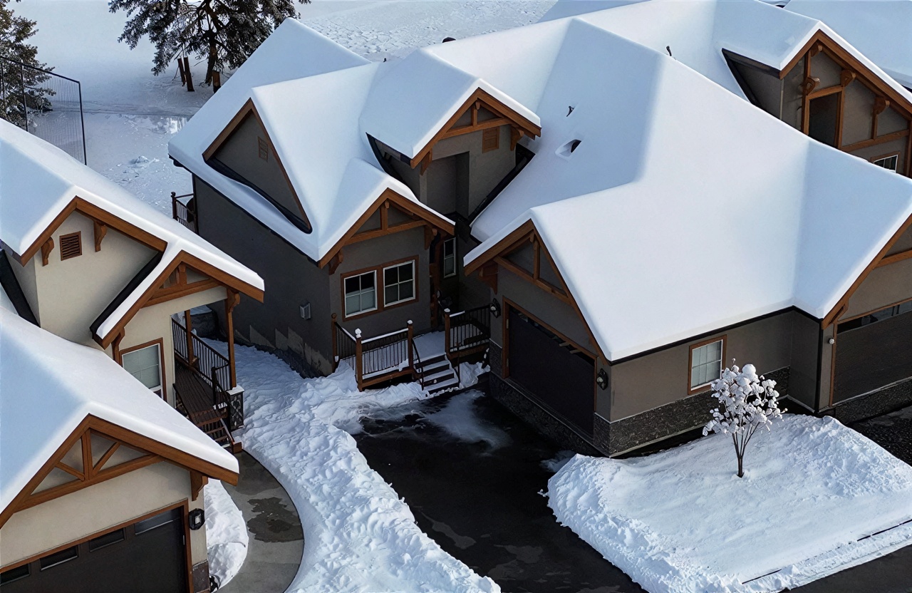
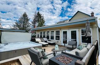
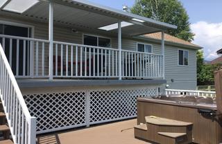
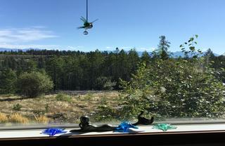
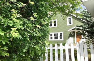
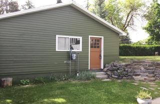
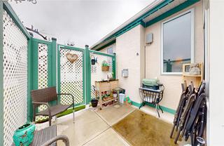
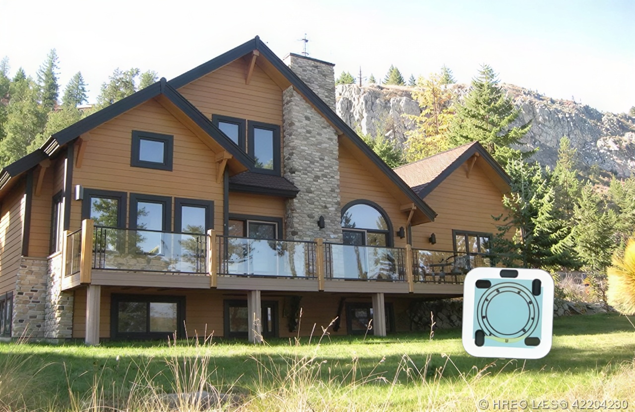
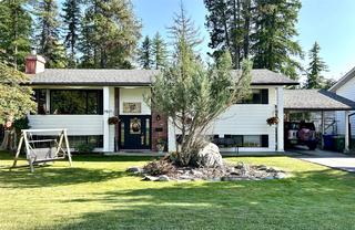
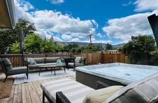
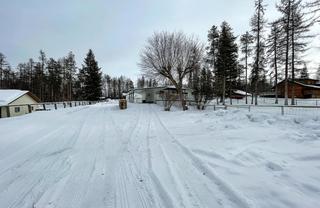
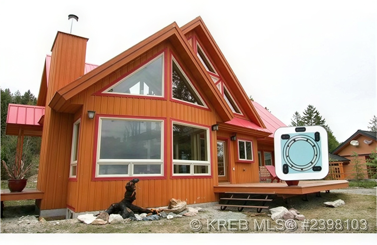
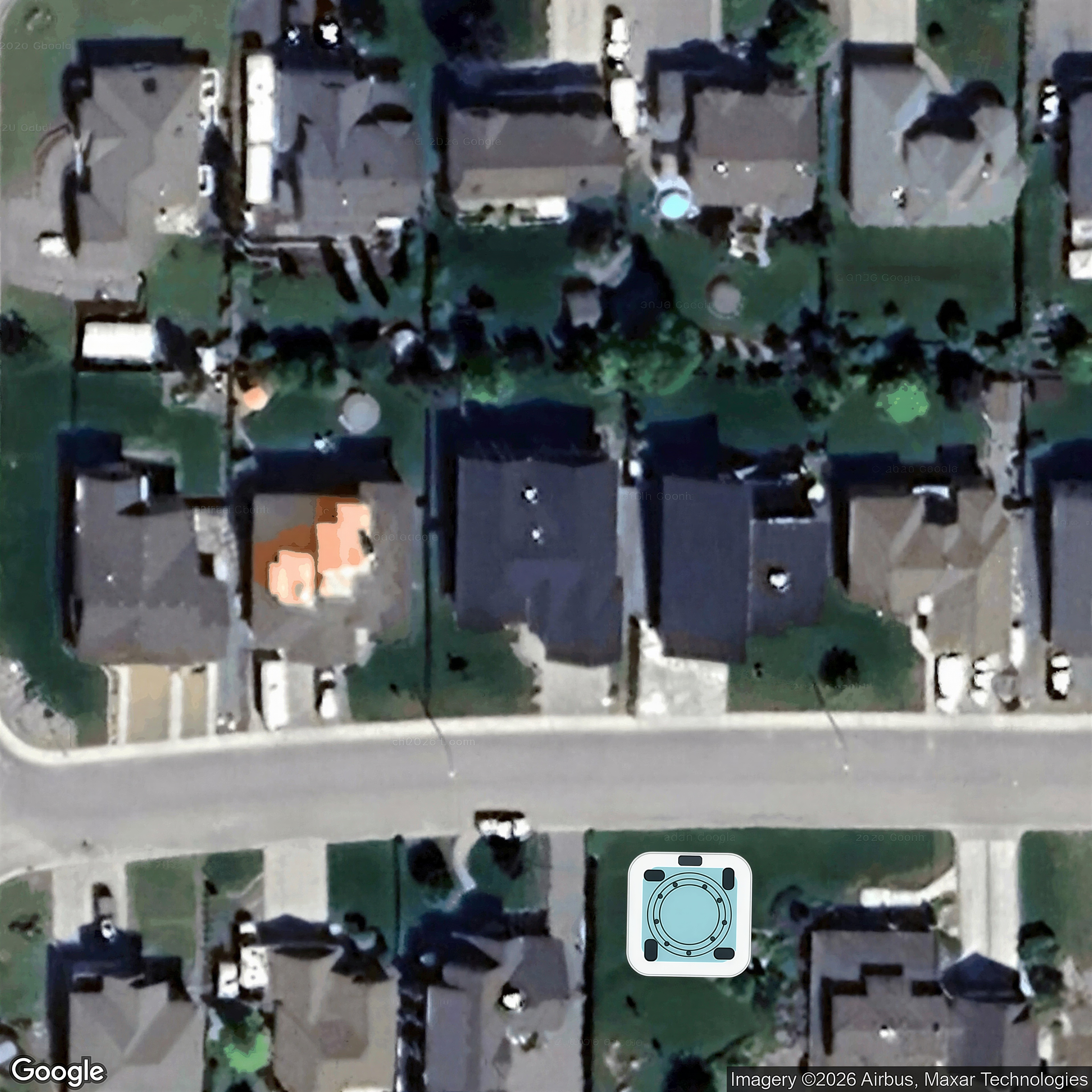
 Concept mockup only — hot tub digitally added.
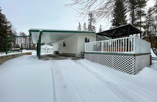
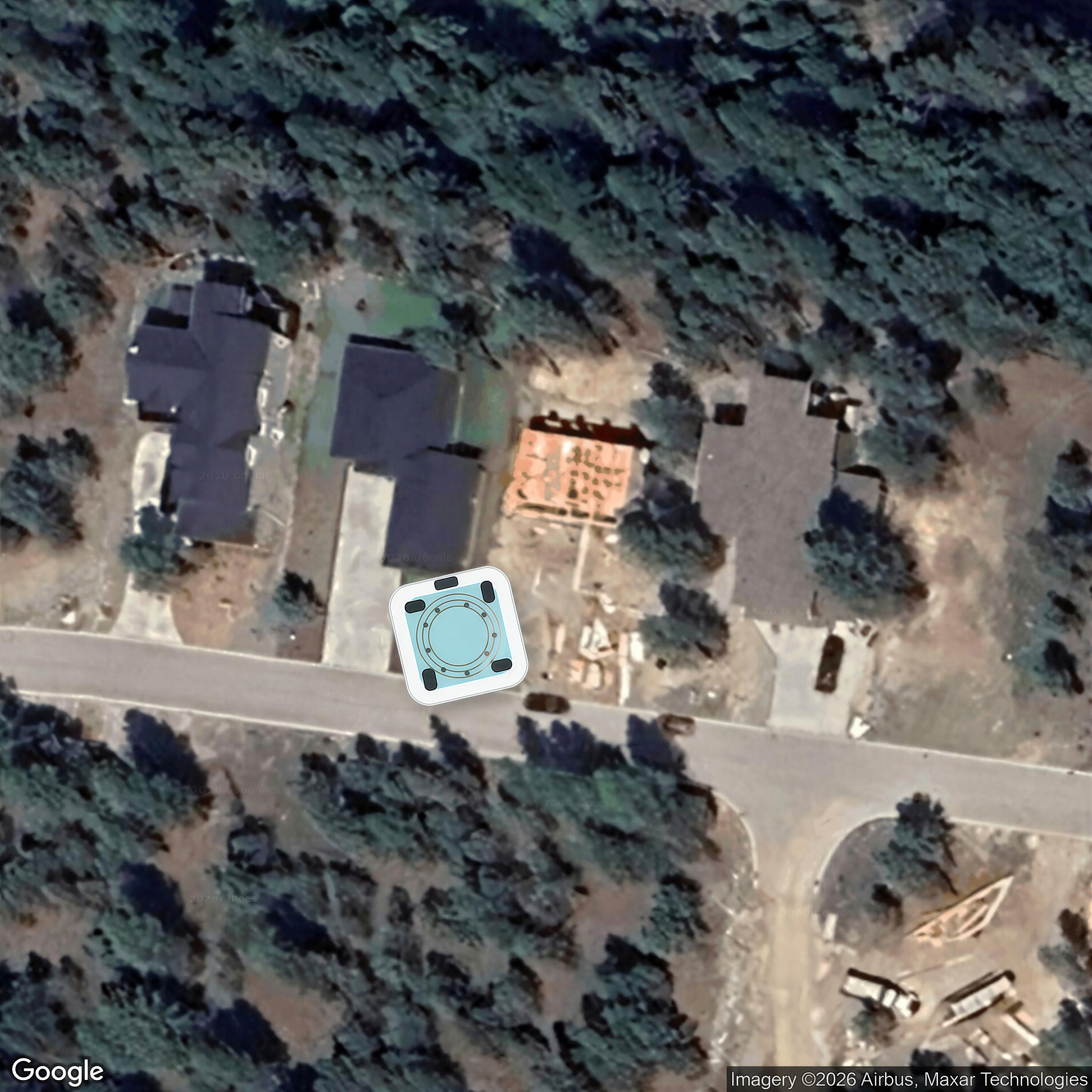
 Concept mockup only — hot tub digitally added.
 Concept mockup only — hot tub digitally added.
 Concept mockup only — hot tub digitally added.
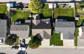
 Concept mockup only — hot tub digitally added.
 Concept mockup only — hot tub digitally added.
 Concept mockup only — hot tub digitally added.
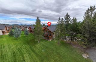
 Concept mockup only — hot tub digitally added.
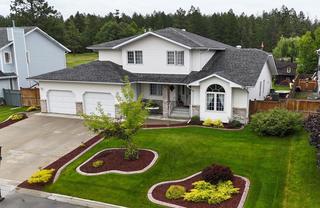
 Concept mockup only — hot tub digitally added.
 Concept mockup only — hot tub digitally added.
 Concept mockup only — hot tub digitally added.
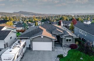
 Concept mockup only — hot tub digitally added.
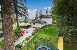
 Concept mockup only — hot tub digitally added.
 Concept mockup only — hot tub digitally added.
 Concept mockup only — hot tub digitally added.
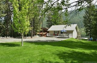
 Concept mockup only — hot tub digitally added.
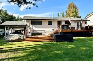
 Concept mockup only — hot tub digitally added.
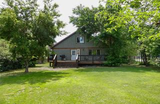
 Concept mockup only — hot tub digitally added.
 Concept mockup only — hot tub digitally added.
 Concept mockup only — hot tub digitally added.
 Concept mockup only — hot tub digitally added.
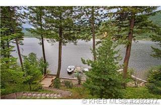
 Concept mockup only — hot tub digitally added.
 Concept mockup only — hot tub digitally added.
 Concept mockup only — hot tub digitally added.
 Concept mockup only — hot tub digitally added.
 Concept mockup only — hot tub digitally added.
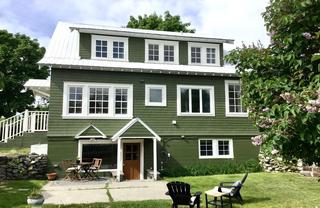
 Concept mockup only — hot tub digitally added.
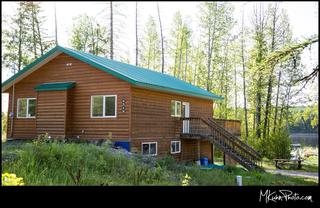
 Concept mockup only — hot tub digitally added.
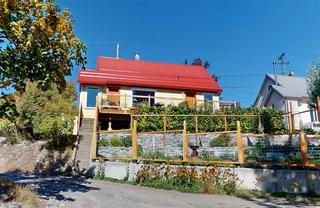
 Concept mockup only — hot tub digitally added.
 Concept mockup only — hot tub digitally added.
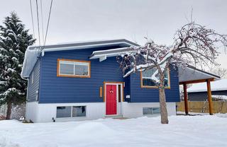
 Concept mockup only — hot tub digitally added.
 Concept mockup only — hot tub digitally added.
 Concept mockup only — hot tub digitally added.
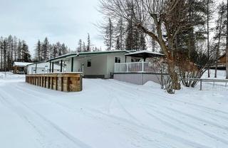
 Concept mockup only — hot tub digitally added.
 Concept mockup only — hot tub digitally added.
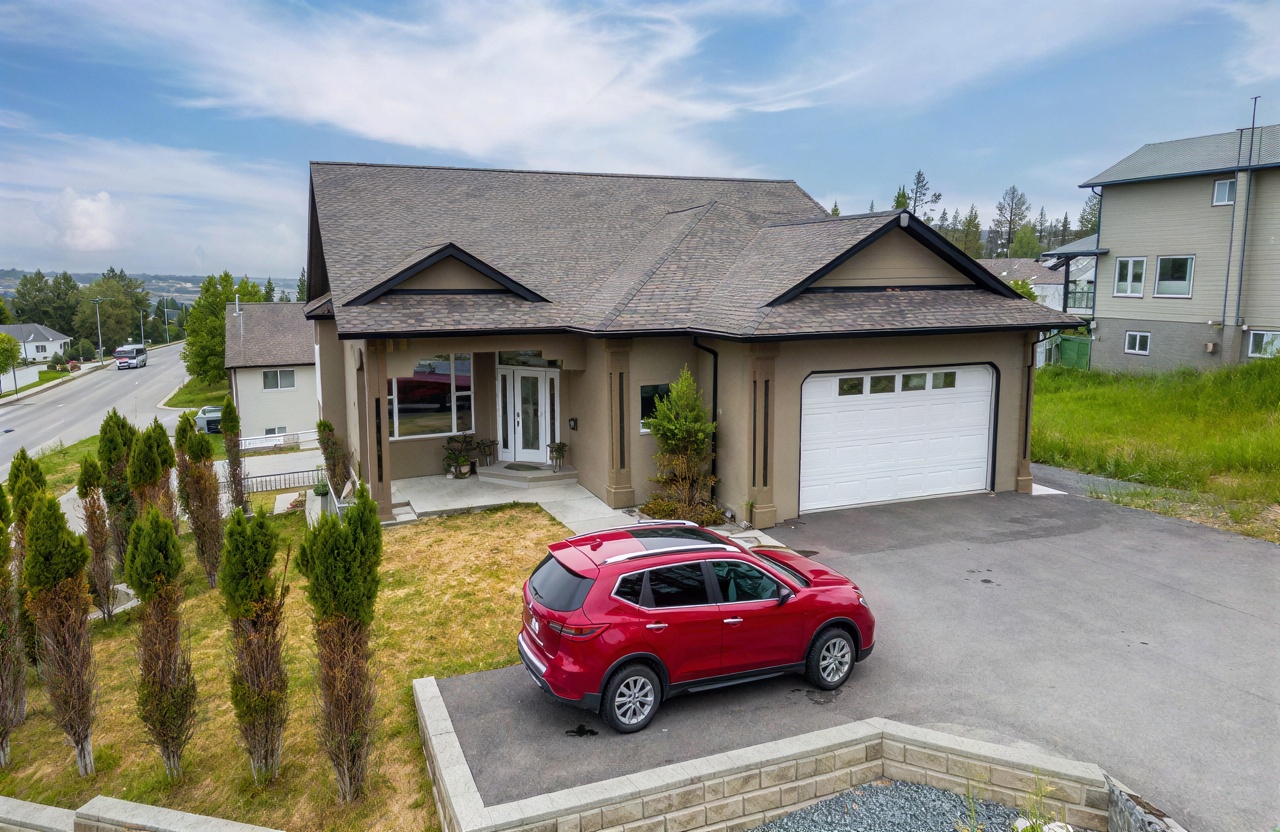
 Concept mockup only — hot tub digitally added.
 Concept mockup only — hot tub digitally added.
 Concept mockup only — hot tub digitally added.
 Concept mockup only — hot tub digitally added.
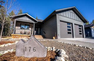
 Concept mockup only — hot tub digitally added.
 Concept mockup only — hot tub digitally added.
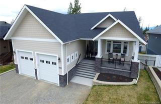
 Concept mockup only — hot tub digitally added.
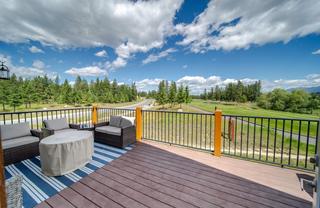
 Concept mockup only — hot tub digitally added.
 Concept mockup only — hot tub digitally added.
 Concept mockup only — hot tub digitally added.
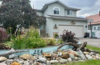
 Concept mockup only — hot tub digitally added.
 Concept mockup only — hot tub digitally added.
 Concept mockup only — hot tub digitally added.
 Concept mockup only — hot tub digitally added.
 Concept mockup only — hot tub digitally added.
 Concept mockup only — hot tub digitally added.
 Concept mockup only — hot tub digitally added.
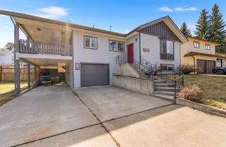
 Concept mockup only — hot tub digitally added.
 Concept mockup only — hot tub digitally added.
 Concept mockup only — hot tub digitally added.
 Concept mockup only — hot tub digitally added.
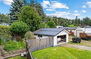
 Concept mockup only — hot tub digitally added.
 Concept mockup only — hot tub digitally added.
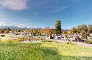
 Concept mockup only — hot tub digitally added.
 Concept mockup only — hot tub digitally added.
 Concept mockup only — hot tub digitally added.
 Concept mockup only — hot tub digitally added.
 Concept mockup only — hot tub digitally added.
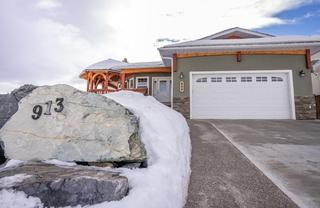
 Concept mockup only — hot tub digitally added.
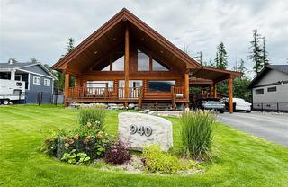
 Concept mockup only — hot tub digitally added.
 Concept mockup only — hot tub digitally added.
 Concept mockup only — hot tub digitally added.
 Concept mockup only — hot tub digitally added.
 Concept mockup only — hot tub digitally added.
 Concept mockup only — hot tub digitally added.
 Concept mockup only — hot tub digitally added.
 Concept mockup only — hot tub digitally added.
 Concept mockup only — hot tub digitally added.
 Concept mockup only — hot tub digitally added.
 Concept mockup only — hot tub digitally added.
 Concept mockup only — hot tub digitally added.
 Concept mockup only — hot tub digitally added.
 Concept mockup only — hot tub digitally added.
 Concept mockup only — hot tub digitally added.
 Concept mockup only — hot tub digitally added.
 Concept mockup only — hot tub digitally added.
 Concept mockup only — hot tub digitally added.
 Concept mockup only — hot tub digitally added.
 Concept mockup only — hot tub digitally added.
 Concept mockup only — hot tub digitally added.
 Concept mockup only — hot tub digitally added.
 Concept mockup only — hot tub digitally added.
 Concept mockup only — hot tub digitally added.
 Concept mockup only — hot tub digitally added.
 Concept mockup only — hot tub digitally added.
 Concept mockup only — hot tub digitally added.
 Concept mockup only — hot tub digitally added.
 Concept mockup only — hot tub digitally added.
 Concept mockup only — hot tub digitally added.
 Concept mockup only — hot tub digitally added.
 Concept mockup only — hot tub digitally added.
 Concept mockup only — hot tub digitally added.