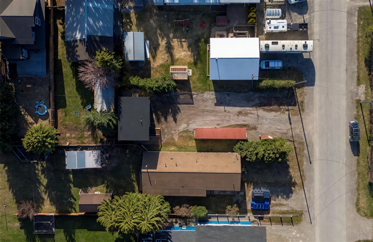
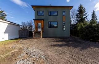
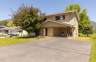
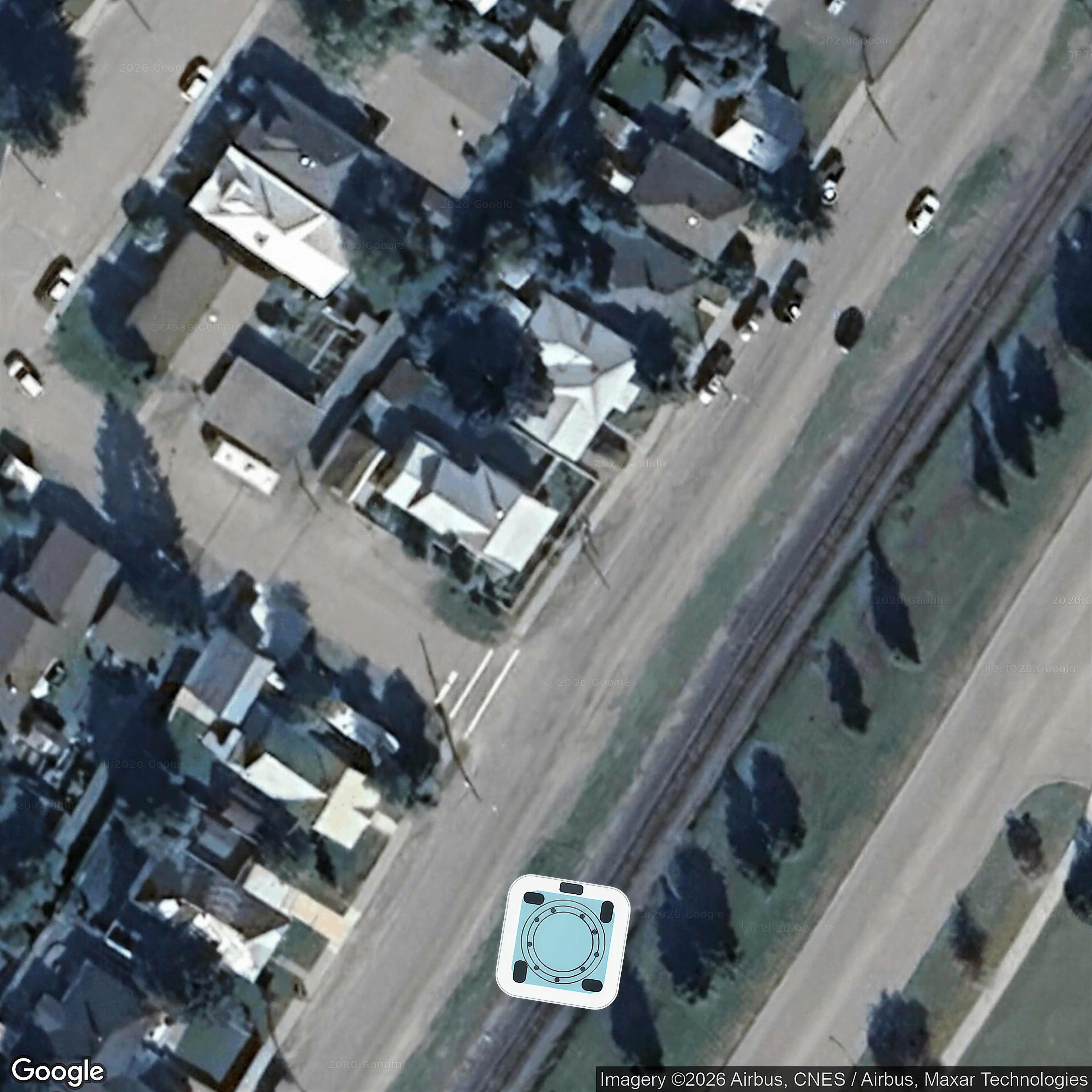
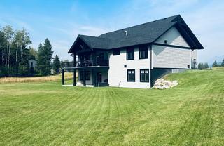
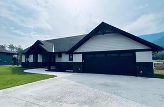
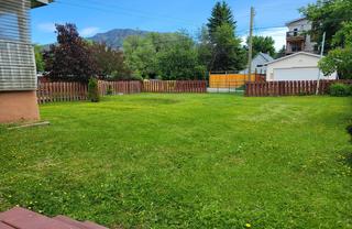
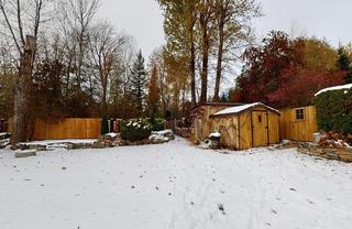
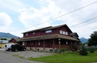
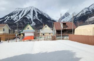
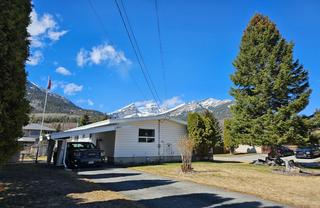
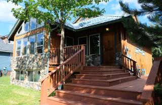
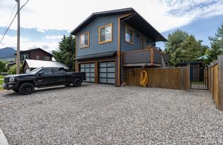
| 1170 Mcdonald Avenue20066310 | MLS aerial/elevated | 6,5,3,4 | yes | 0 / 9 | — | — | — | listing |
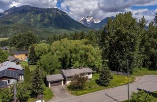
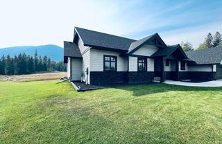
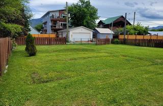
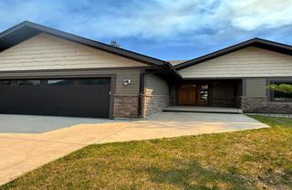
| 1302 11th Avenue20060624 | MLS aerial/elevated | 30,29,24 | yes | 0 / 9 | — | — | — | listing |
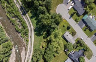
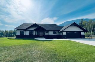
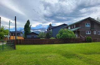
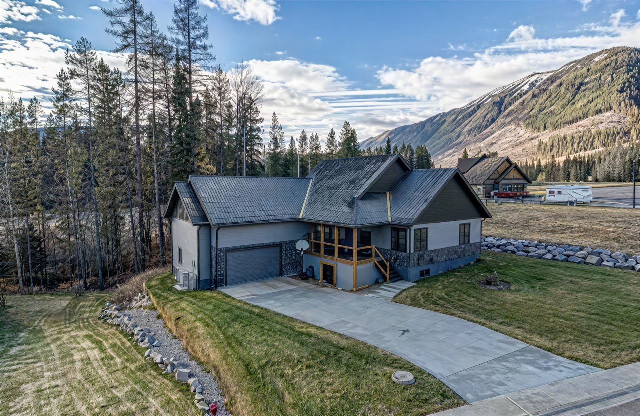
| 16 MT MINTON Street10671641 | MLS aerial/elevated | 1,8,4,2,3 | yes | 0 / 9 | — | — | — | listing |
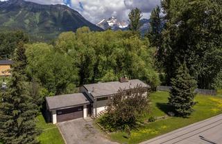
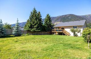
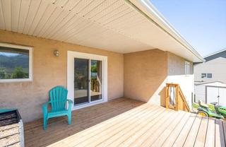
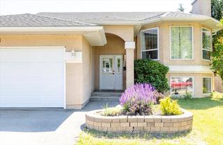
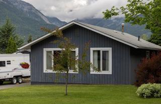
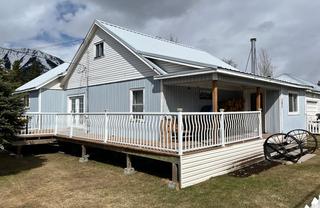
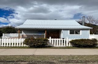
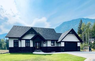
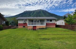
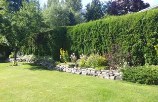
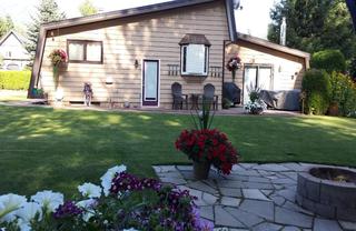
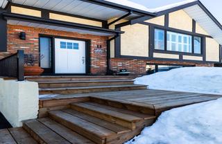
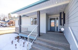
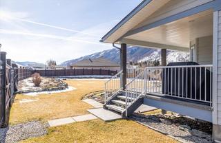
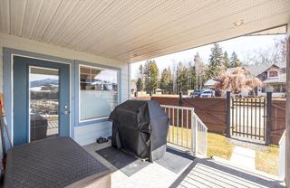
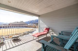
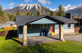
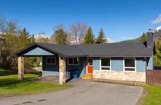
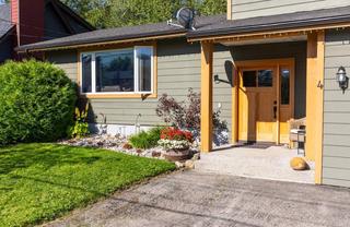
| 18 ELKVIEW Crescent10677481 | MLS aerial/elevated | 6,7,3,2,5,1 | yes | 0 / 9 | — | — | — | listing |
| 2 RIDGEMONT Avenue10681344 | MLS aerial/elevated | 3,2,1 | yes | 0 / 9 | — | — | — | listing |
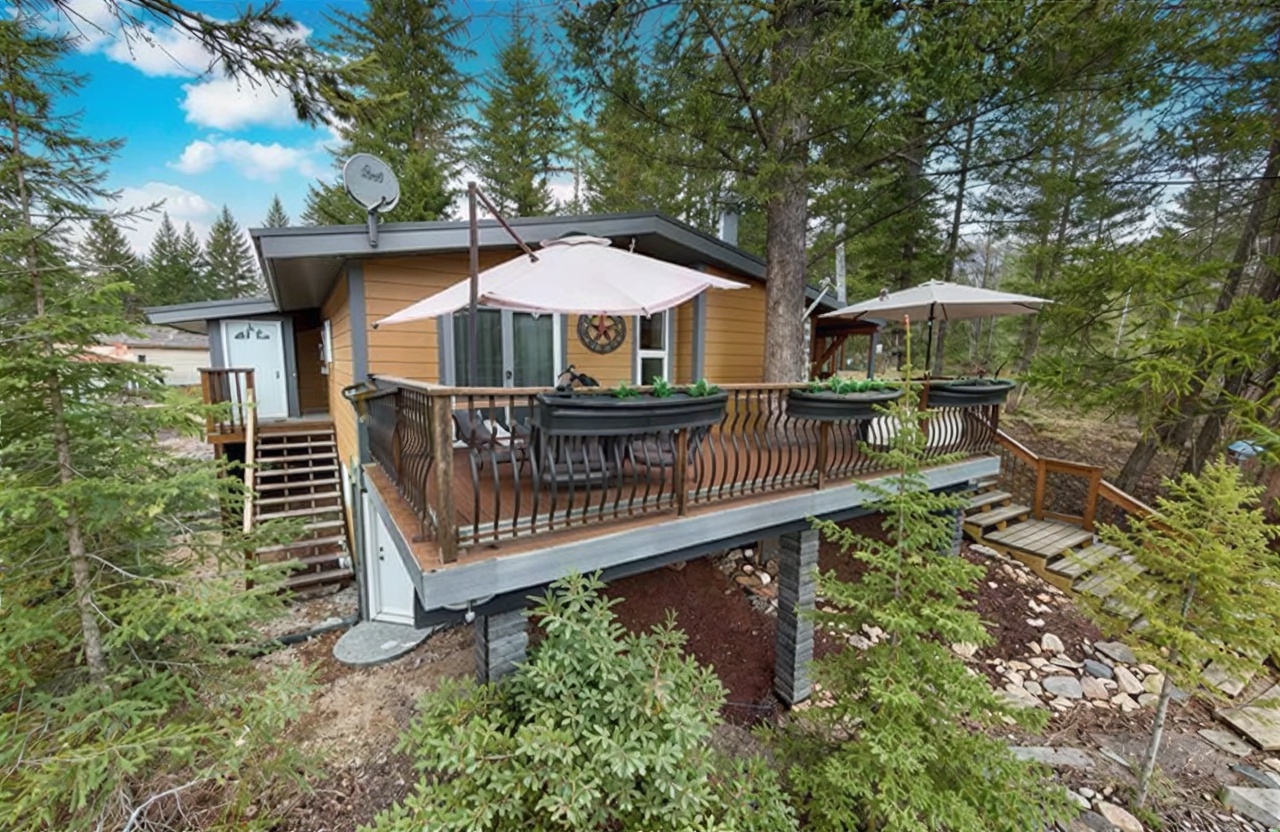
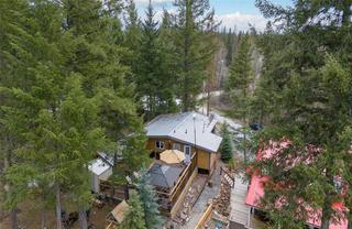
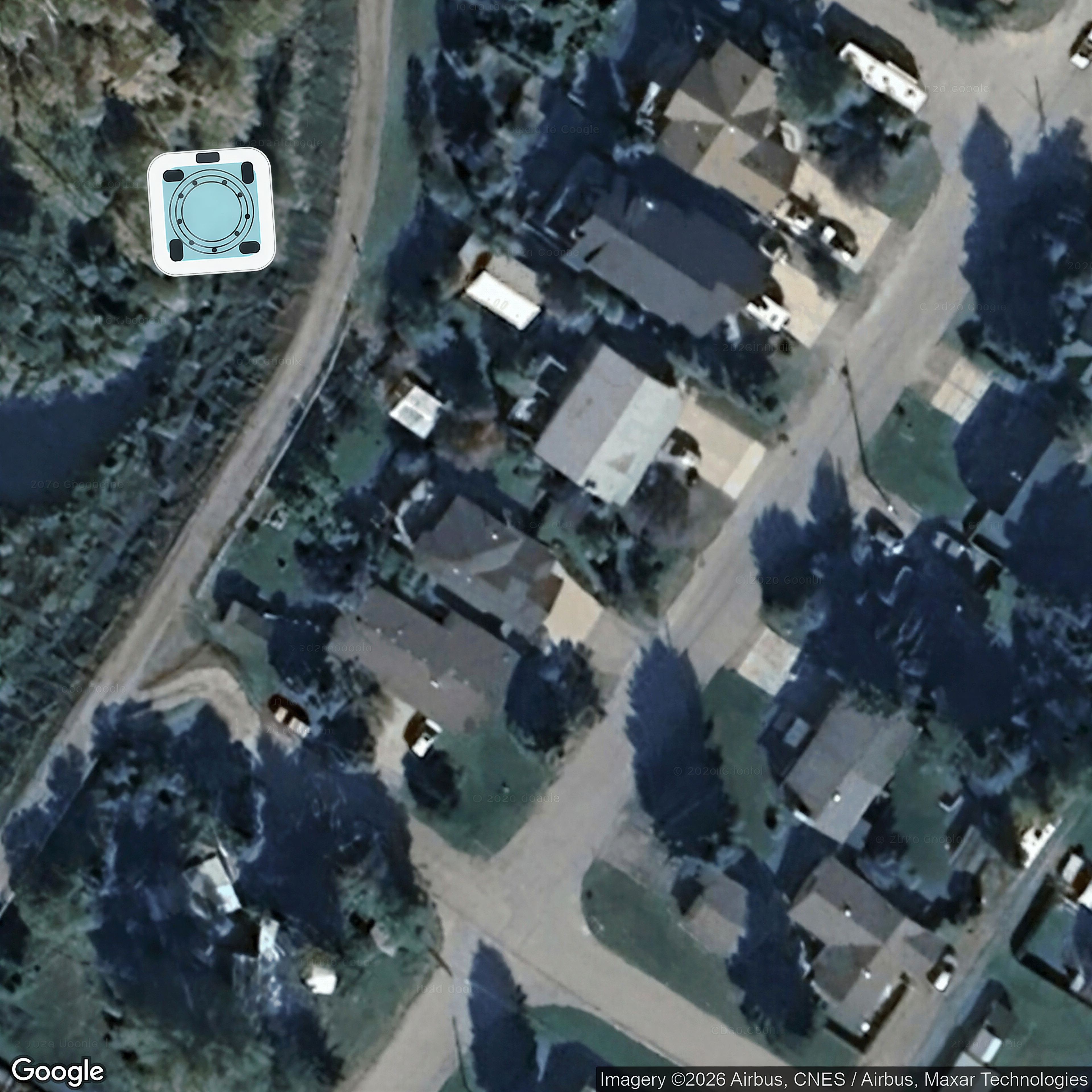
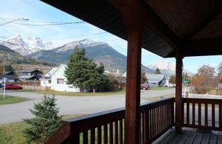
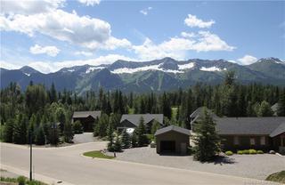
| 49 MT PROCTOR Avenue10676258 | MLS aerial/elevated | 3,2,1,30 | yes | 0 / 9 | — | — | — | listing |
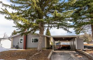
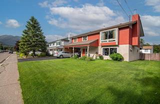
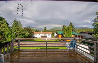
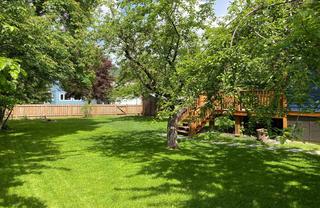
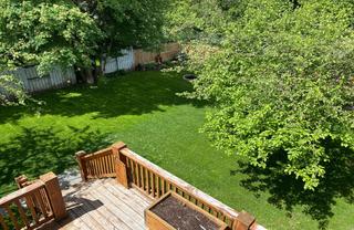
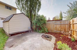
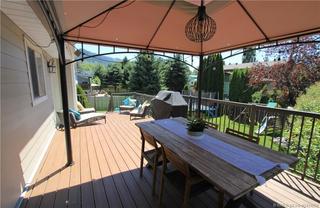
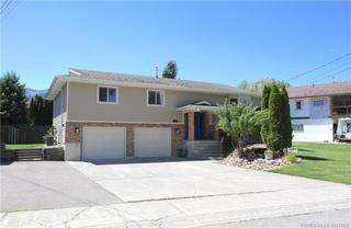
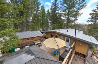
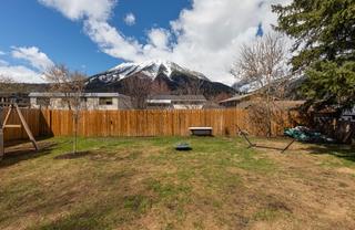
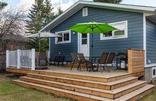
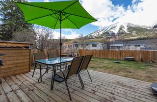
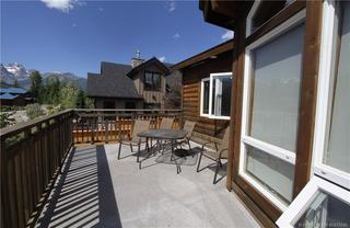
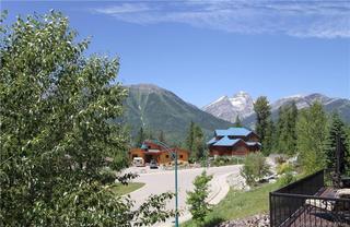
| 661 3RD Avenue10665467 | MLS aerial/elevated | 3,4,5,6,7 | yes | 0 / 9 | — | — | — | listing |
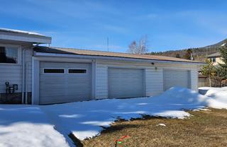
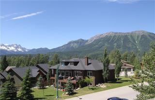
| 782 4TH Avenue20020418 | MLS aerial/elevated | 10,6,7,4,5 | yes | 0 / 9 | — | — | — | listing |
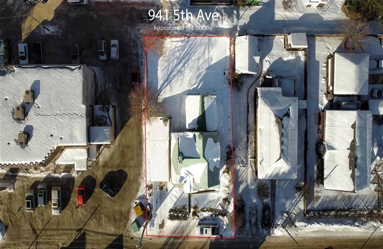
| 941 5th Avenue20039625 | MLS aerial/elevated | 29 | yes | 0 / 9 | — | — | — | listing |
| 14 MT TRINITY Avenue10682383 | MLS aerial/elevated | 2,1,30 | yes | 0 / 9 | — | — | — | listing |
| 21 MT MINTON Street10654287 | MLS aerial/elevated | 29,30,28,1 | yes | 0 / 9 | — | — | — | listing |
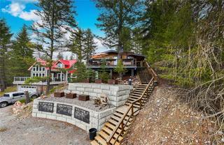
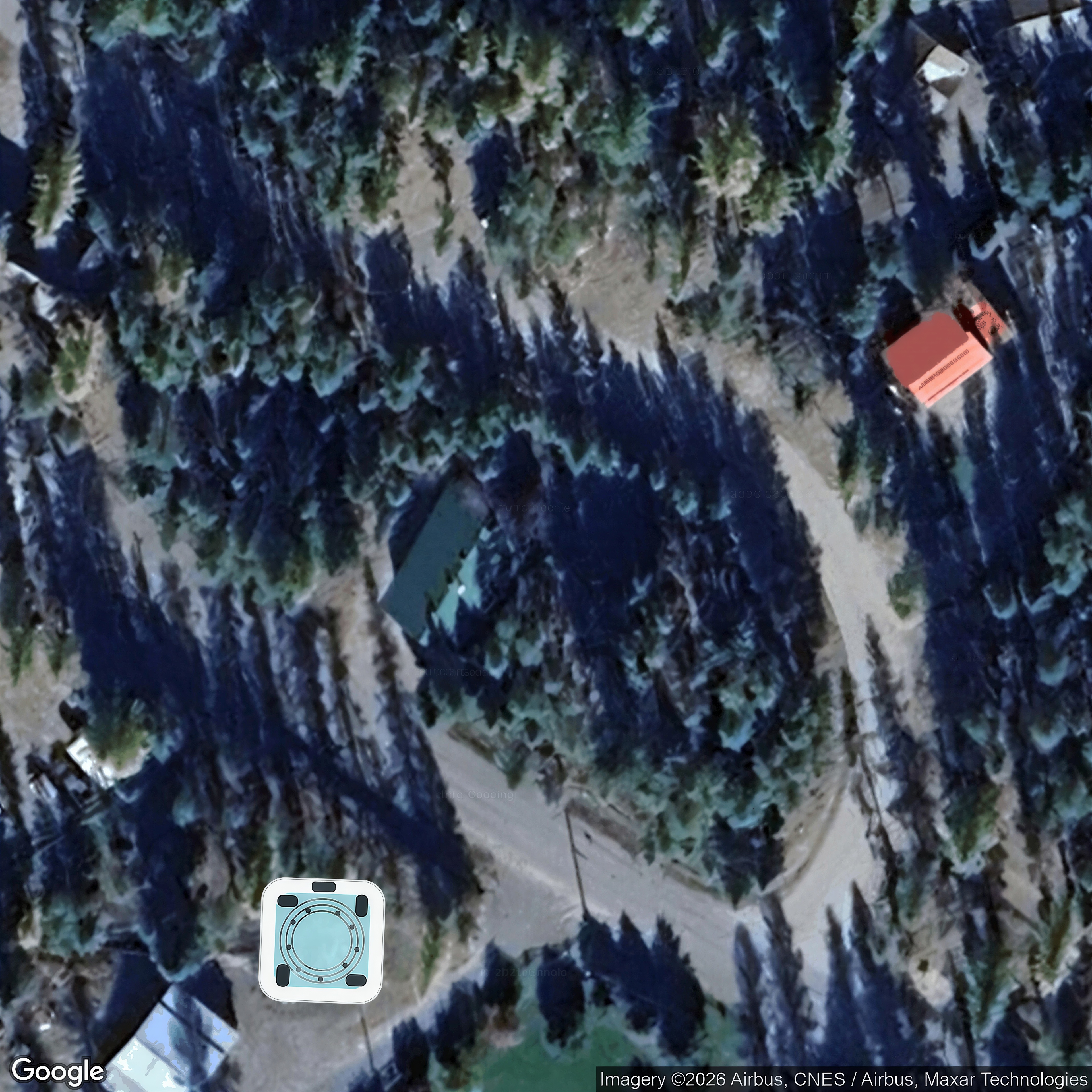
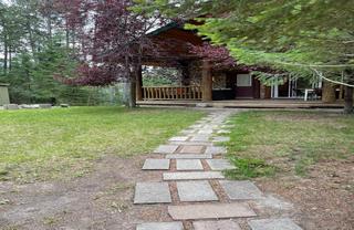
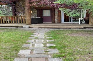
| 6740 Rosen Lake Road20066454 | MLS aerial/elevated | 3,1,26,27,2 | yes | 0 / 9 | — | — | — | listing |
| 921 11TH Avenue10668743 | MLS aerial/elevated | 4,24,25,26,27 | yes | 0 / 9 | — | — | — | listing |
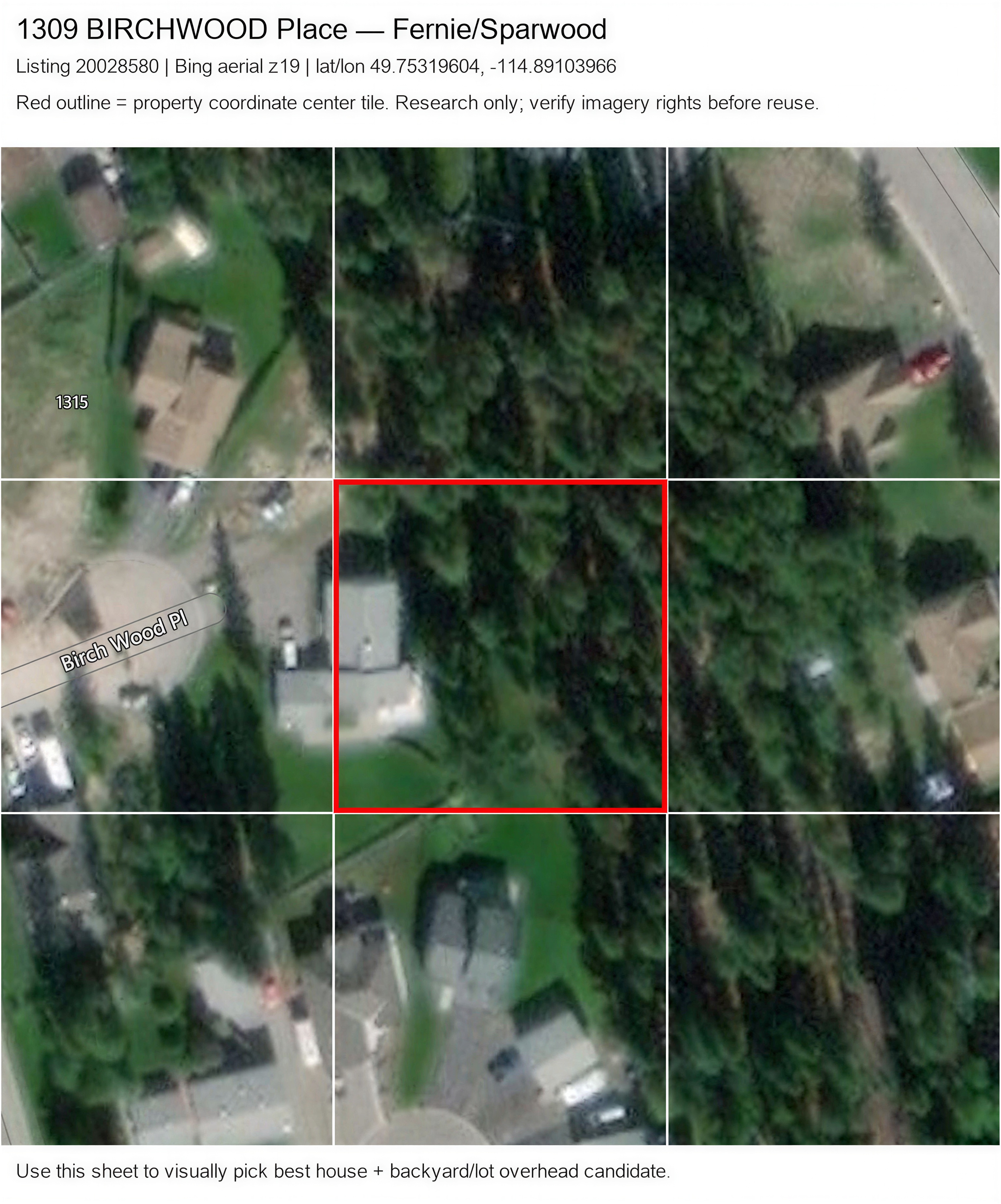
| 1309 BIRCHWOOD Place20028580 | Bing overhead | 1 | no | 9 / 0 | yes | — | — | listing |
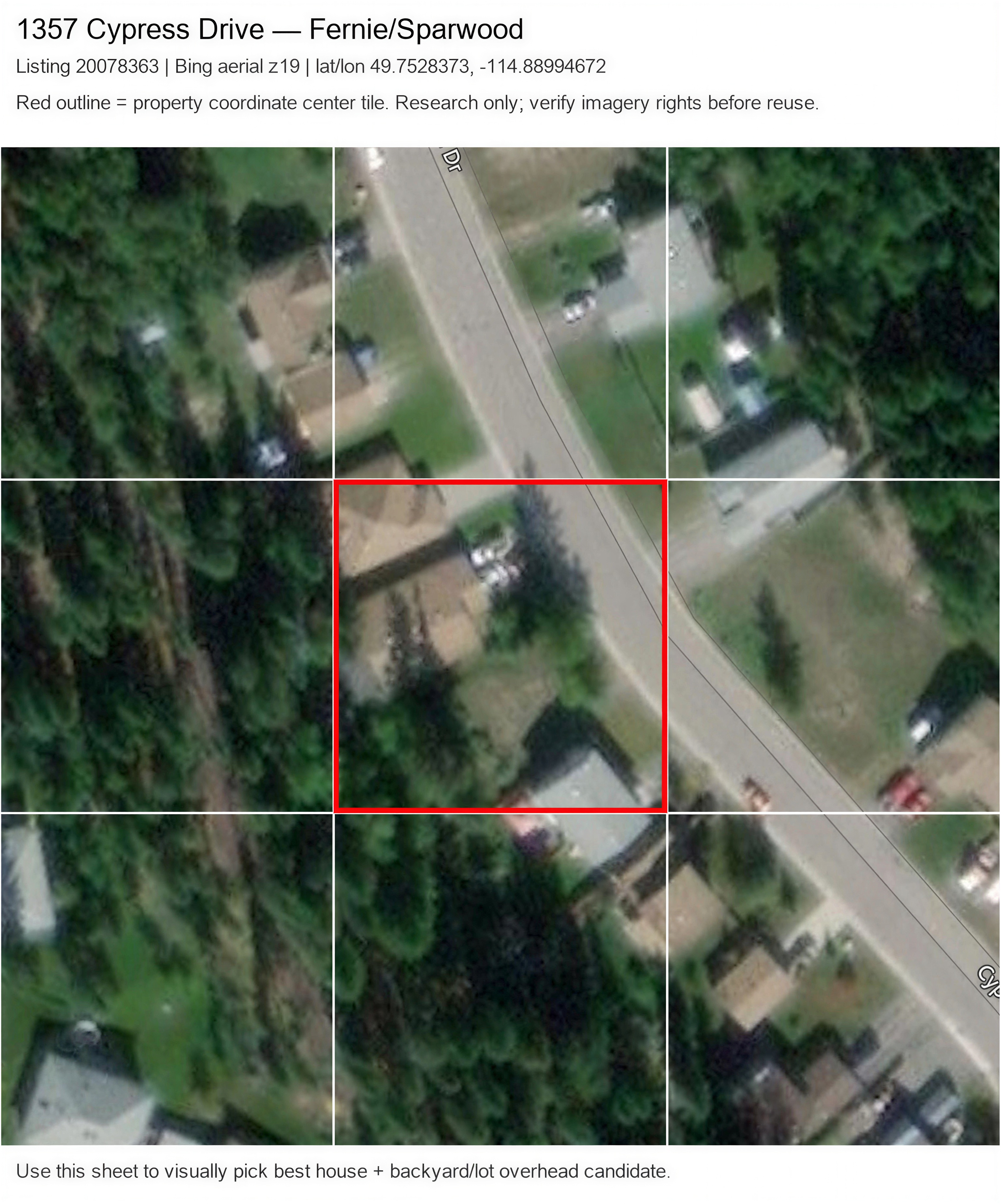
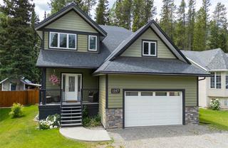
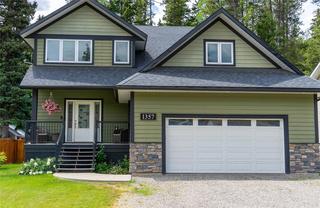
| 1357 Cypress Drive20078363 | Bing overhead | 1,2,3 | no | 9 / 0 | yes | — | — | listing |
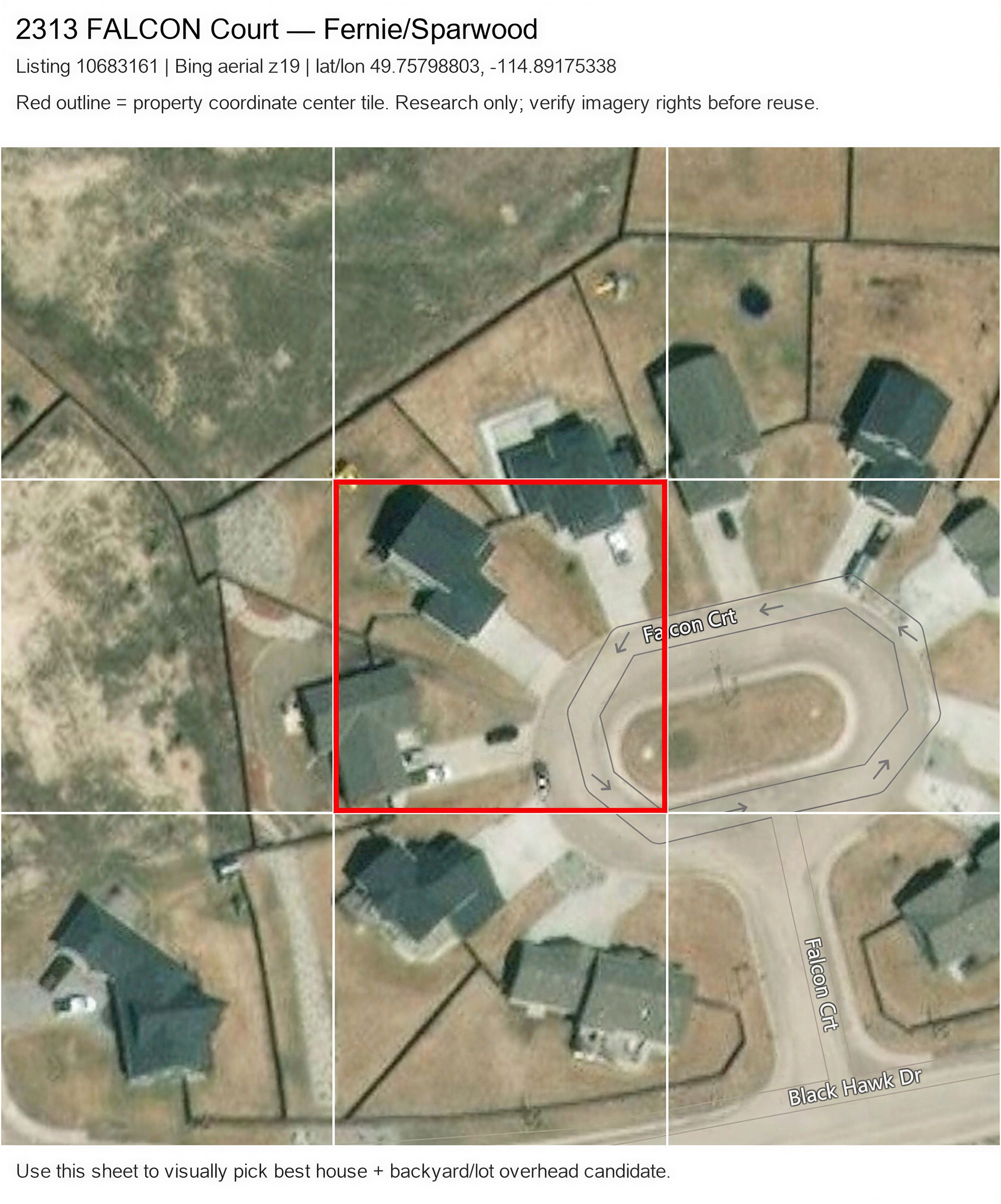
| 2313 FALCON Court10683161 | Bing overhead | 1 | no | 8 / 1 | yes | — | — | listing |
| 1681 KOOCANUSA LAKE Drive10679423 | ArcGIS overhead | — | No | 9 / 0 | — | — | — | listing |
| 1668 Tranquility Road20080409 | Google overhead | — | No | 9 / 0 | unclear | yes | no | listing |
| 1643 Koocanusa Lake Drive20068707 | ArcGIS overhead | — | No | 9 / 0 | — | — | — | listing |
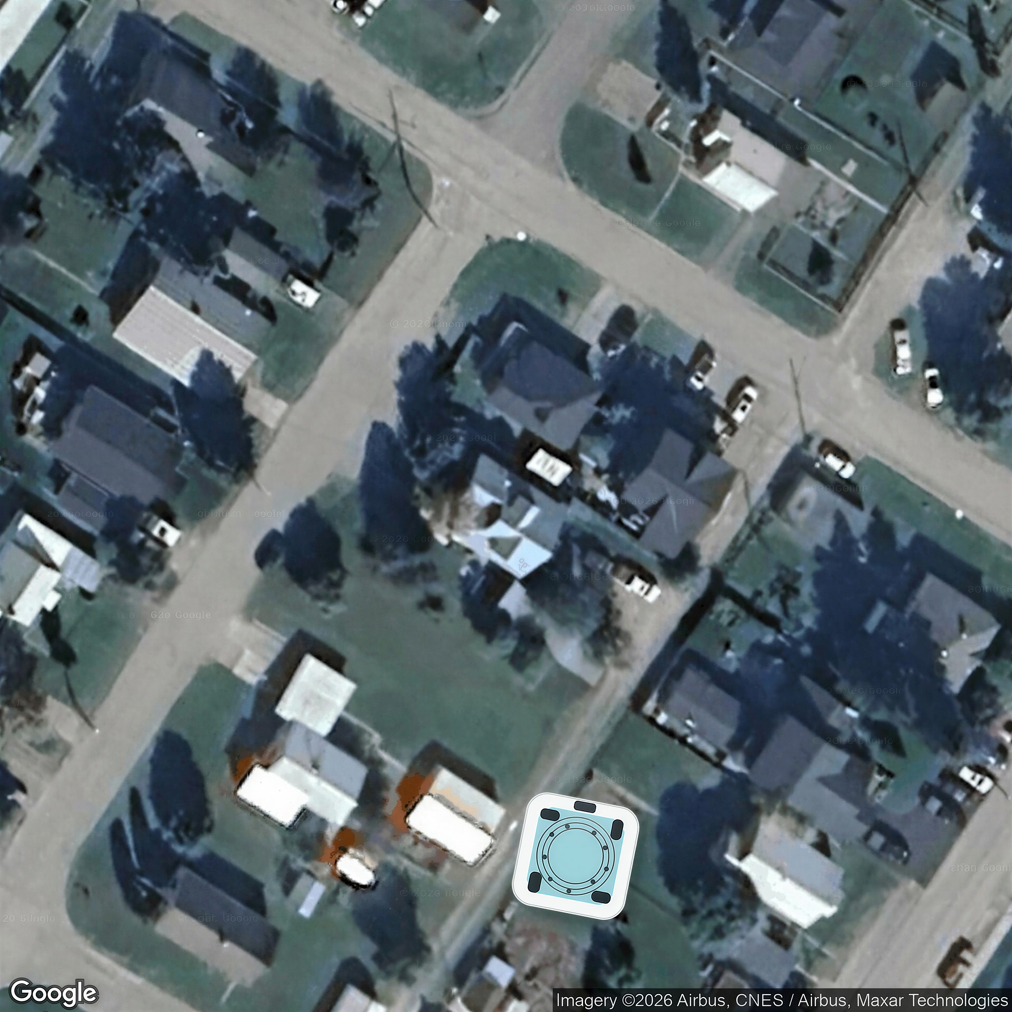
| 1265 VALLEY VIEW Place20059379 | ArcGIS overhead | 27,29,30,26,28 | no | 9 / 0 | — | — | — | listing |
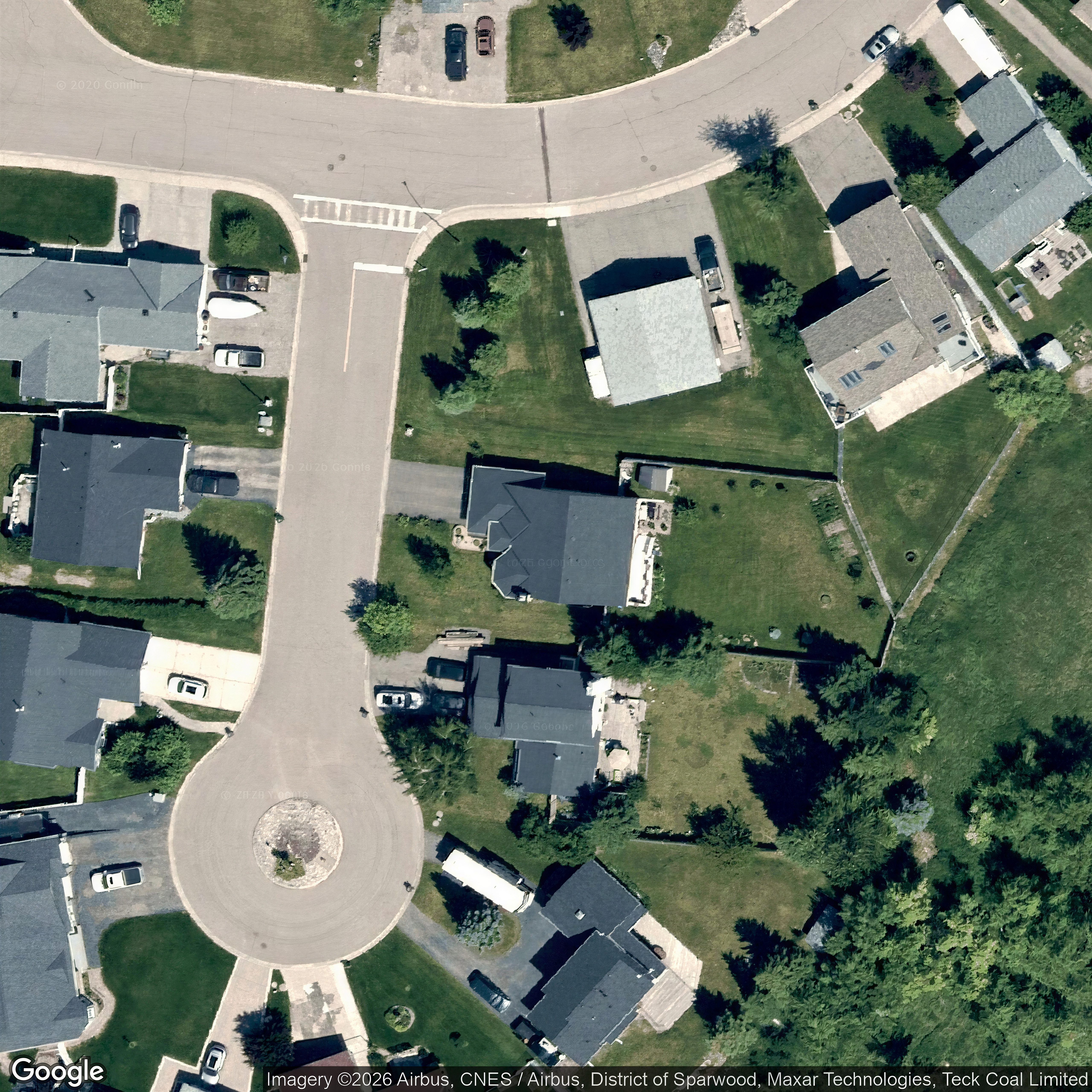
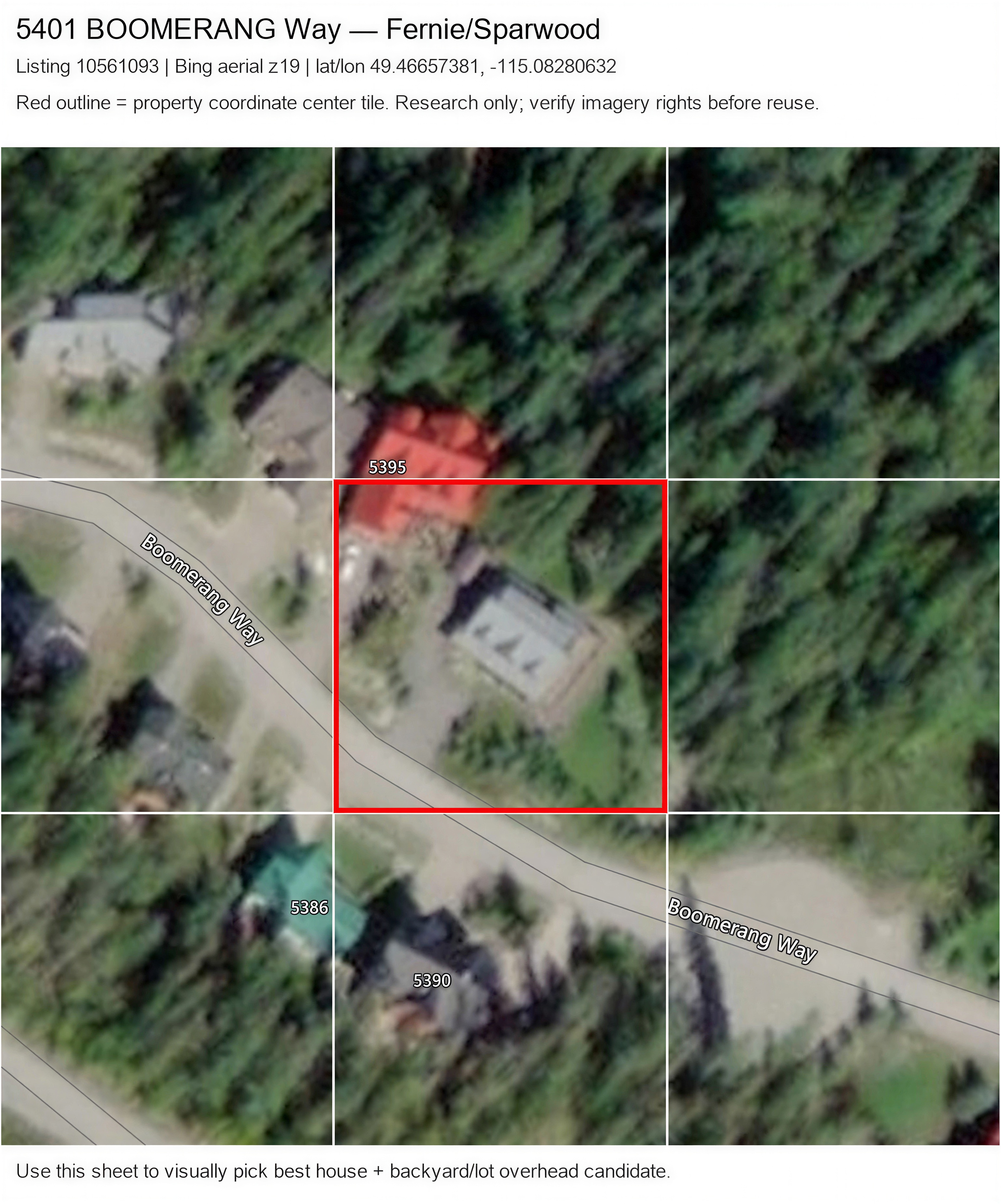
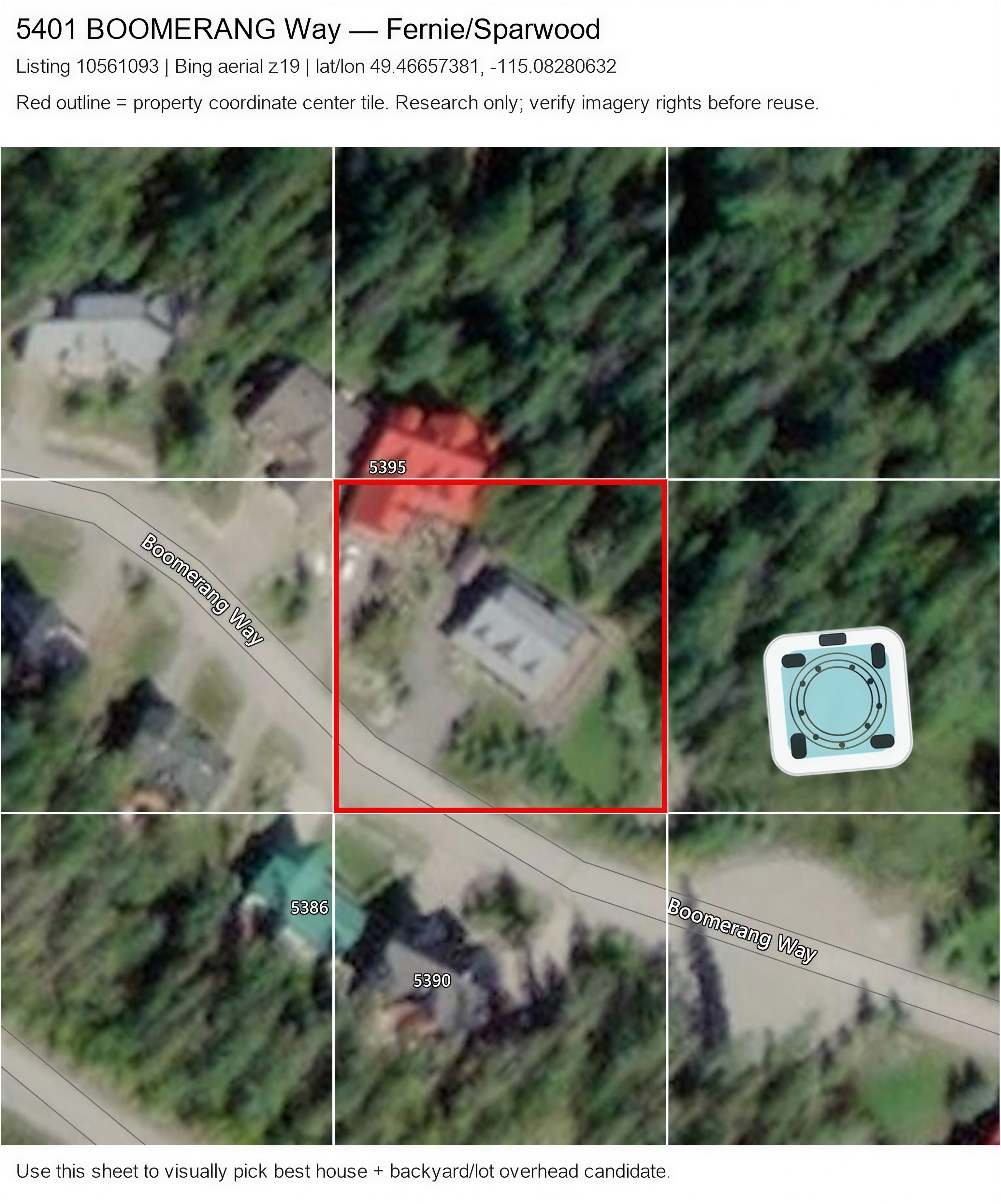
| 5401 BOOMERANG Way10561093 | Bing overhead | 1 | no | 0 / 9 | yes | no | — | point_geocode |
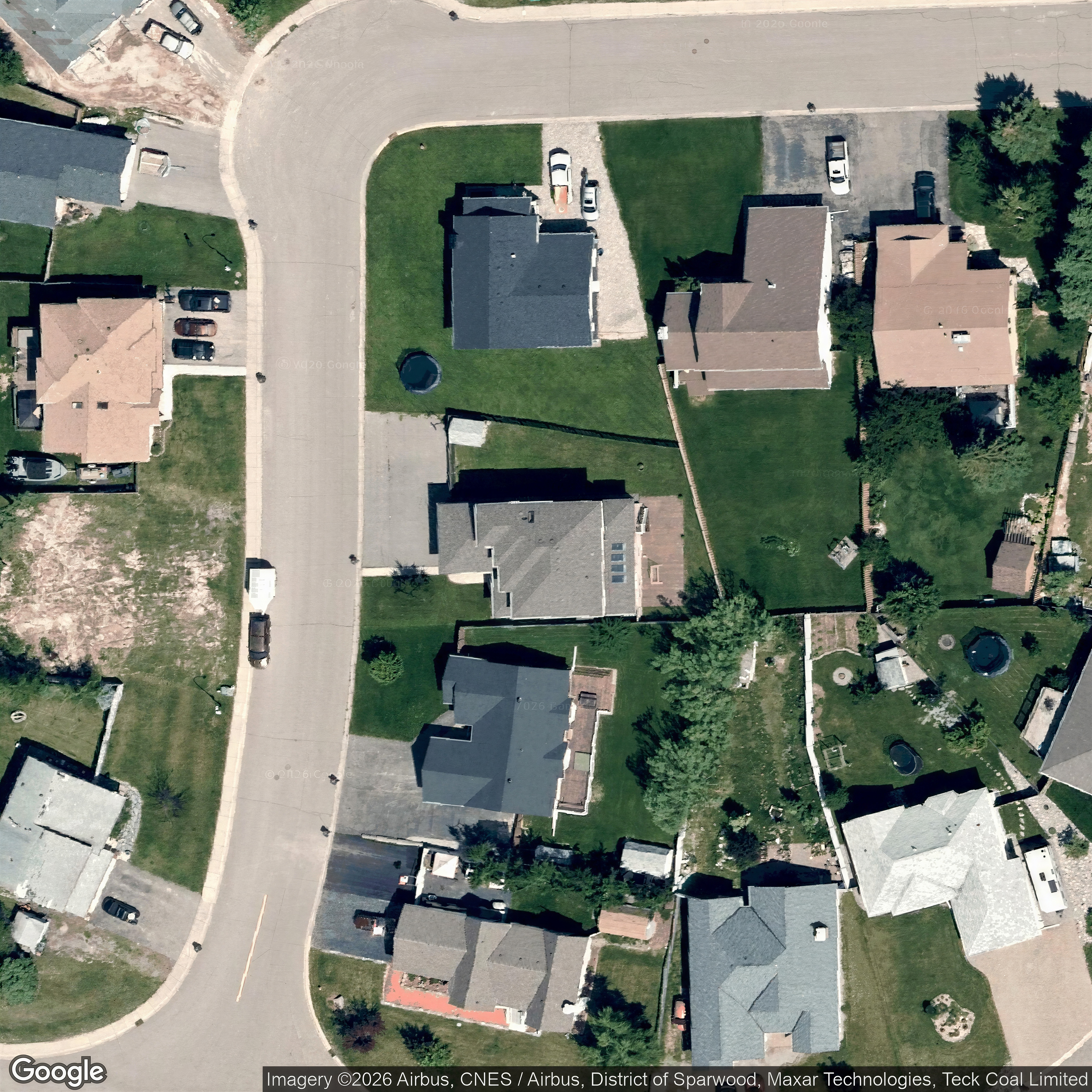
| 79 RIDGEMONT Drive10682918 | Google overhead | 1,2,3,7,9,10 | no | 0 / 9 | — | yes | yes | listing |
| 1362 11TH Avenue10663121 | Google overhead | 1,7,10,11,13,16 | no | 0 / 9 | — | yes | yes | listing |
| 201 1ST Avenue10675368 | Google overhead | 29,30,27,28,26 | no | 0 / 9 | — | yes | yes | listing |
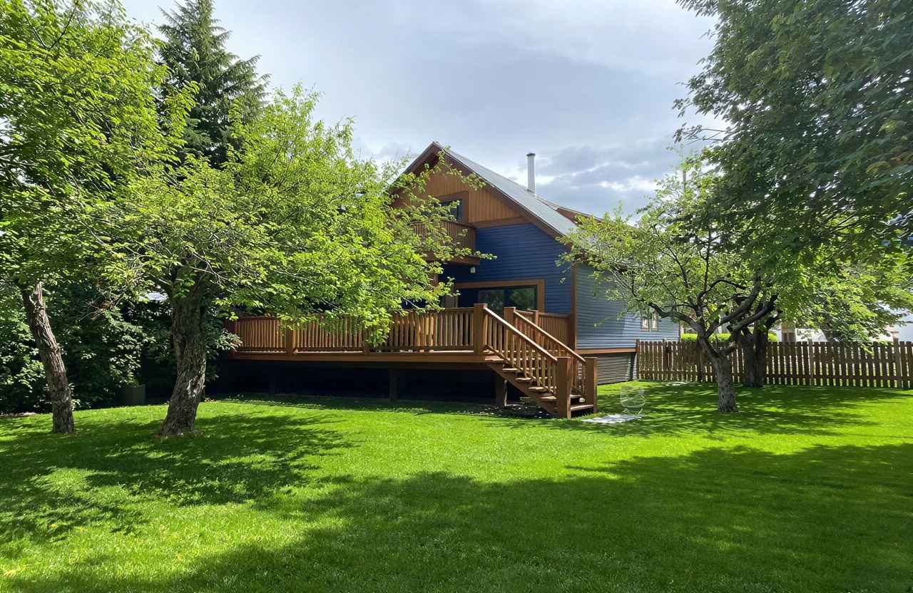
| 2108 WHISKEY JACK Drive10679212 | Google overhead | 7,6,3,4,1,5 | no | 7 / 2 | — | yes | yes | listing |
| 22 COAL CREEK Road10670943 | Google overhead | 1,2,3,7,9 | no | 0 / 9 | — | yes | yes | listing |
| 29 RIDGEMONT Drive10676027 | Google overhead | 28,29,27,30,26 | no | 0 / 9 | — | yes | yes | listing |
| 6853 ROSEN LAKE E Road10673062 | Google overhead | 2,6,7,26 | no | 0 / 9 | — | yes | yes | listing |
| 842 8TH Avenue20022908 | Google overhead | 2,4,5,6,7,20 | no | 0 / 9 | — | yes | yes | listing |
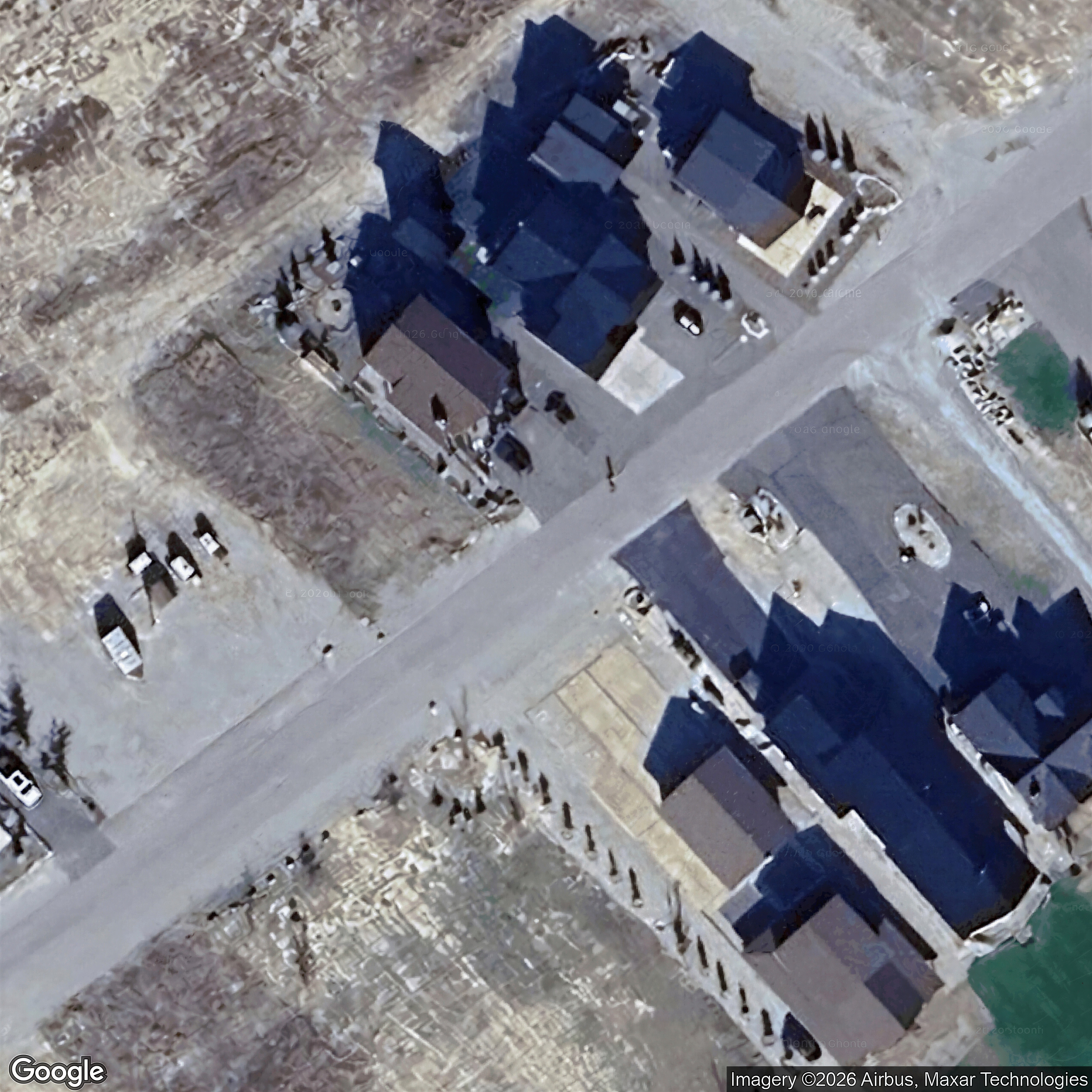
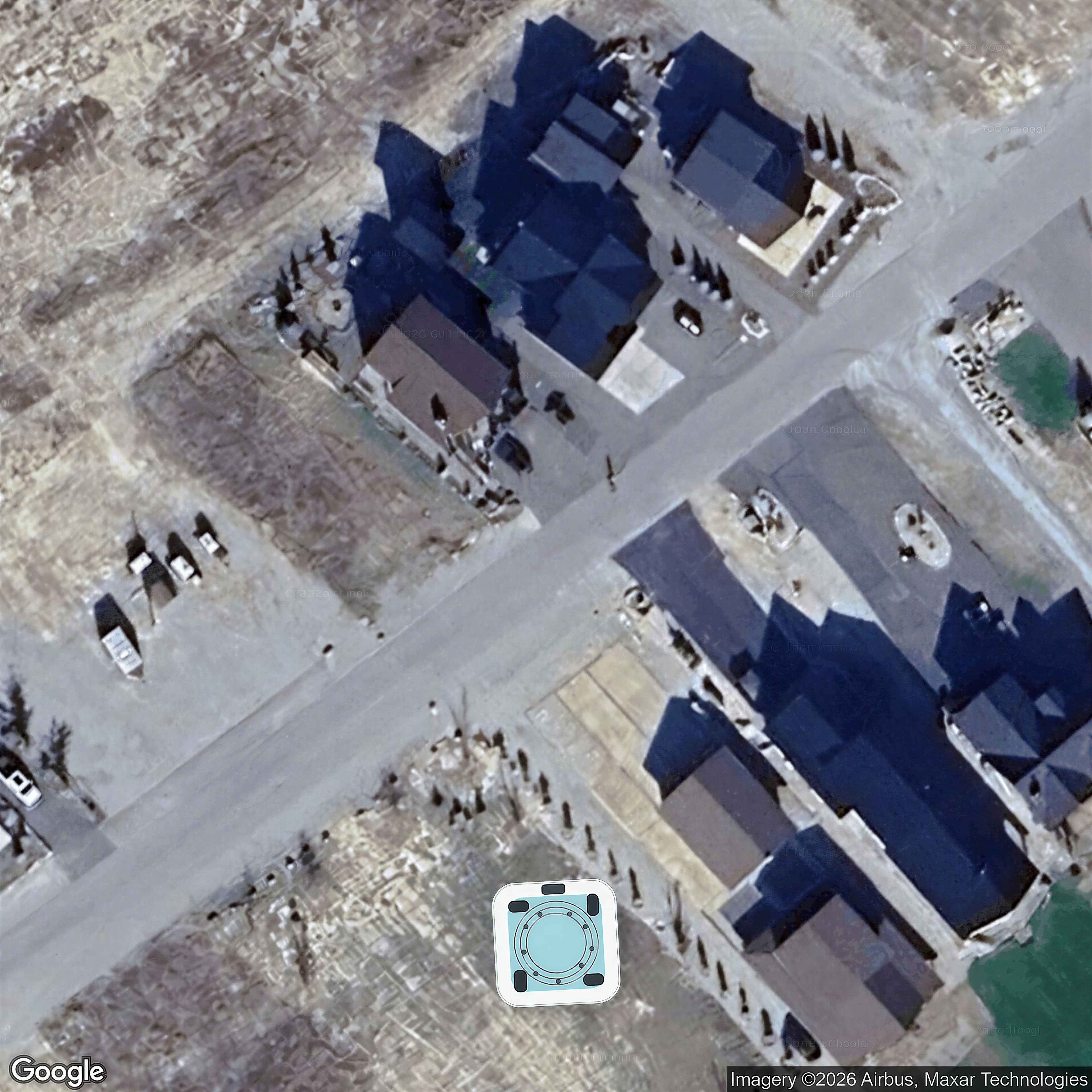
| 9 PINE Avenue10667796 | Google overhead | 2,3,4,5,6,8 | no | 0 / 9 | — | yes | yes | listing |
| 992 8TH Avenue10666059 | Google overhead | 1,4,7,8,10,24 | no | 0 / 9 | — | yes | yes | listing |
| 11 PARKLAND Drive10663402 | Google overhead | 1,2 | no | 0 / 9 | — | yes | yes | listing |
| 1250 VALLEY VIEW Drive20020438 | Google overhead | 1,27,28,29,30 | no | 9 / 0 | — | yes | yes | listing |
| 1341 1ST Avenue10675686 | Google overhead | 1,2,3,27,28,29,30 | no | 0 / 9 | — | yes | yes | listing |
| 1391 10TH Avenue10681443 | Google overhead | 1,4,5,6,7,8 | no | 0 / 9 | — | yes | yes | listing |
| 15 MT PROCTOR Avenue10681347 | Google overhead | 1 | no | 0 / 9 | — | yes | yes | listing |
| 1204 VALLEY VIEW Drive10683952 | ArcGIS overhead | — | No | 9 / 0 | — | — | — | listing |
| 1206 VALLEY VIEW Drive20022704 | ArcGIS overhead | — | No | 9 / 0 | — | — | — | listing |
| 1256 Valley View Drive20049830 | ArcGIS overhead | — | No | 9 / 0 | — | — | — | listing |
| 532 Granzow Road20046554 | ArcGIS overhead | — | No | 9 / 0 | — | — | — | listing |
| 1461 8TH Avenue10670512 | Google overhead | 23,24,25,26,27 | no | 0 / 9 | — | yes | unclear | listing |
| 1 MT PROCTOR Avenue10681651 | Mapbox overhead | 1,30,2 | no | 0 / 9 | — | unclear | yes | listing |
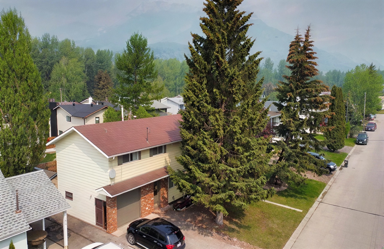
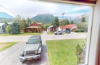
| 862 10TH Avenue10666129 | Possible elevated | 5,4,6,1,2 | unclear | 0 / 9 | — | — | — | listing |
| 16 CEDAR BOWL Drive10652596 | Google overhead | 21,22,25,26,27 | no | 0 / 9 | — | yes | — | listing |
| 1622 11 Avenue20043865 | Google overhead | 1 | no | 0 / 9 | — | yes | — | listing |
| 2071 Golden Eagle Drive20078352 | Google overhead | 1 | no | 9 / 0 | — | yes | — | listing |
| 2134 WHISKEY JACK Drive10675001 | Google overhead | 1 | no | 9 / 0 | — | yes | — | listing |
| 2135 WHISKEY JACK Drive10683923 | Google overhead | 1,2 | no | 9 / 0 | — | yes | — | listing |
| 2202 Black Hawk Drive20034035 | Possible elevated | 1 | unclear | 8 / 1 | — | — | — | listing |
| 23 RIDGEMONT Drive10670868 | Google overhead | 1,2,3 | no | 0 / 9 | — | yes | — | listing |
| 4 MT PROCTOR Avenue10666517 | Google overhead | 1,2 | no | 0 / 9 | — | yes | — | listing |
| 55 RIDGEMONT Avenue10660236 | Google overhead | 1,30 | no | 0 / 9 | — | yes | — | listing |
| 592 9TH Avenue10665347 | Google overhead | 10,11,13,4,5 | no | 0 / 9 | — | yes | — | listing |
| 39 ELKVIEW Drive10655082 | Possible Google overhead | 27,22,24,25,26,1 | no | 0 / 9 | — | unclear | — | listing |
| 101 RIDGEMONT Crescent10674172 | Google overhead | — | No | 0 / 9 | — | yes | — | listing |
| 11 SILVER RIDGE Way10636711 | Google overhead | — | No | 0 / 9 | — | yes | — | listing |
| 1110 BEACH Avenue10676037 | Google overhead | — | No | 0 / 9 | — | yes | — | listing |
| 1191 11TH Avenue10637598 | Google overhead | — | No | 0 / 9 | — | yes | — | listing |
| 1202 4TH Avenue10672499 | Google overhead | — | No | 0 / 9 | — | yes | — | listing |
| 123 WHITETAIL Drive10659866 | Google overhead | — | No | 0 / 9 | — | yes | — | listing |
| 1251 2ND Avenue10663856 | Google overhead | — | No | 0 / 9 | — | yes | — | listing |
| 15 ALPINE TRAIL Crescent10656960 | Google overhead | — | No | 0 / 9 | — | yes | — | listing |
| 197 RIDGEMONT Lane10681575 | Google overhead | — | No | 0 / 9 | — | yes | — | listing |
| 2 ALLAN GRAHAM Drive10579894 | Google overhead | — | No | 0 / 9 | — | yes | — | listing |
| 20 PINE Crescent10644420 | Google overhead | — | No | 0 / 9 | — | yes | — | listing |
| 2030 GOLDEN EAGLE Drive20069119 | Google overhead | — | no | 9 / 0 | — | yes | — | listing |
| 2252 Black Hawk Drive20084254 | Google overhead | — | No | 7 / 2 | — | yes | — | listing |
| 2260 BLACK HAWK Drive10681059 | Google overhead | — | No | 8 / 1 | — | yes | — | listing |
| 2411 Osprey Court20035045 | Google overhead | — | No | 7 / 2 | — | yes | — | listing |
| 25 SKIFTY MORRIS Way10599160 | Google overhead | — | No | 0 / 9 | — | yes | — | listing |
| 3 Mt Proctor Avenue20073619 | Google overhead | — | No | 0 / 9 | — | yes | — | listing |
| 37 SILVER RIDGE Drive10629333 | Google overhead | — | No | 0 / 9 | — | yes | — | listing |
| 43 RIDGEMONT Avenue10673661 | Google overhead | — | No | 0 / 9 | — | yes | — | listing |
| 4495 TIMBERLINE Crescent10577345 | Google overhead | — | No | 0 / 9 | — | yes | — | listing |
| 4556 TIMBERLINE Crescent10545164 | Google overhead | — | No | 0 / 9 | — | yes | — | listing |
| 4584 TIMBERLINE Crescent10616755 | Google overhead | — | No | 0 / 9 | — | yes | — | listing |
| 46 COAL CREEK Road10622169 | Google overhead | — | No | 0 / 9 | — | yes | — | listing |
| 4600 TIMBERLINE Crescent10605182 | Google overhead | — | No | 0 / 9 | — | yes | — | listing |
| 501-5258 HIGHLINE Drive10608316 | Google overhead | — | No | 0 / 9 | — | yes | — | listing |
| 561 6TH Avenue10674370 | Google overhead | — | No | 0 / 9 | — | yes | — | listing |
| 562 6TH Avenue20053873 | Google overhead | — | No | 0 / 9 | — | yes | — | listing |
| 701A 4TH Avenue10661891 | Google overhead | — | No | 0 / 9 | — | yes | — | listing |
| 761 4TH Avenue20022380 | Google overhead | — | No | 0 / 9 | — | yes | — | listing |
| 791 5TH Avenue10636454 | Google overhead | — | No | 0 / 9 | — | yes | — | listing |
| 801A 8TH Street10669856 | Google overhead | — | No | 0 / 9 | — | yes | — | listing |
| 802 8TH Avenue10614914 | Google overhead | — | No | 0 / 9 | — | yes | — | listing |
| 9 ELKVIEW Place10669621 | Google overhead | — | No | 0 / 9 | — | yes | — | listing |
| 931 10TH Avenue10303426 | Google overhead | — | No | 0 / 9 | — | yes | — | listing |
| 941 11TH Avenue10657168 | Google overhead | — | No | 0 / 9 | — | yes | — | listing |
| 962 4TH Avenue10678927 | Google overhead | — | No | 0 / 9 | — | yes | — | listing |
| 9841 VICTORIA Street10675594 | Google overhead | — | No | 0 / 9 | — | yes | — | listing |
| 11 ALPINE TRAIL Lane10559698 | Possible Google overhead | — | No | 0 / 9 | — | unclear | — | listing |
| 17 ALPINE Trail10615862 | Possible Google overhead | — | No | 0 / 9 | — | unclear | — | listing |
| 32 SILVER RIDGE Drive10628923 | Possible Google overhead | — | No | 0 / 9 | — | unclear | — | listing |
| 4553 TIMBERLINE Crescent10559208 | Possible Google overhead | — | No | 0 / 9 | — | unclear | — | listing |
| 6659 ROSEN LAKE Road10638277 | Possible Google overhead | — | No | 0 / 9 | — | unclear | — | listing |
| 93 RIDGEMONT Drive10626775 | Possible Google overhead | — | No | 0 / 9 | — | unclear | — | listing |
| 15 ALPINE TRAILS Crescent10629259 | Photo not found | 1,2,11,12,13 | no | 0 / 9 | no | no | — | listing |
| 2140 WHISKEY JACK Drive10671578 | Ground context only | 1 | no | 9 / 0 | — | no | — | listing |
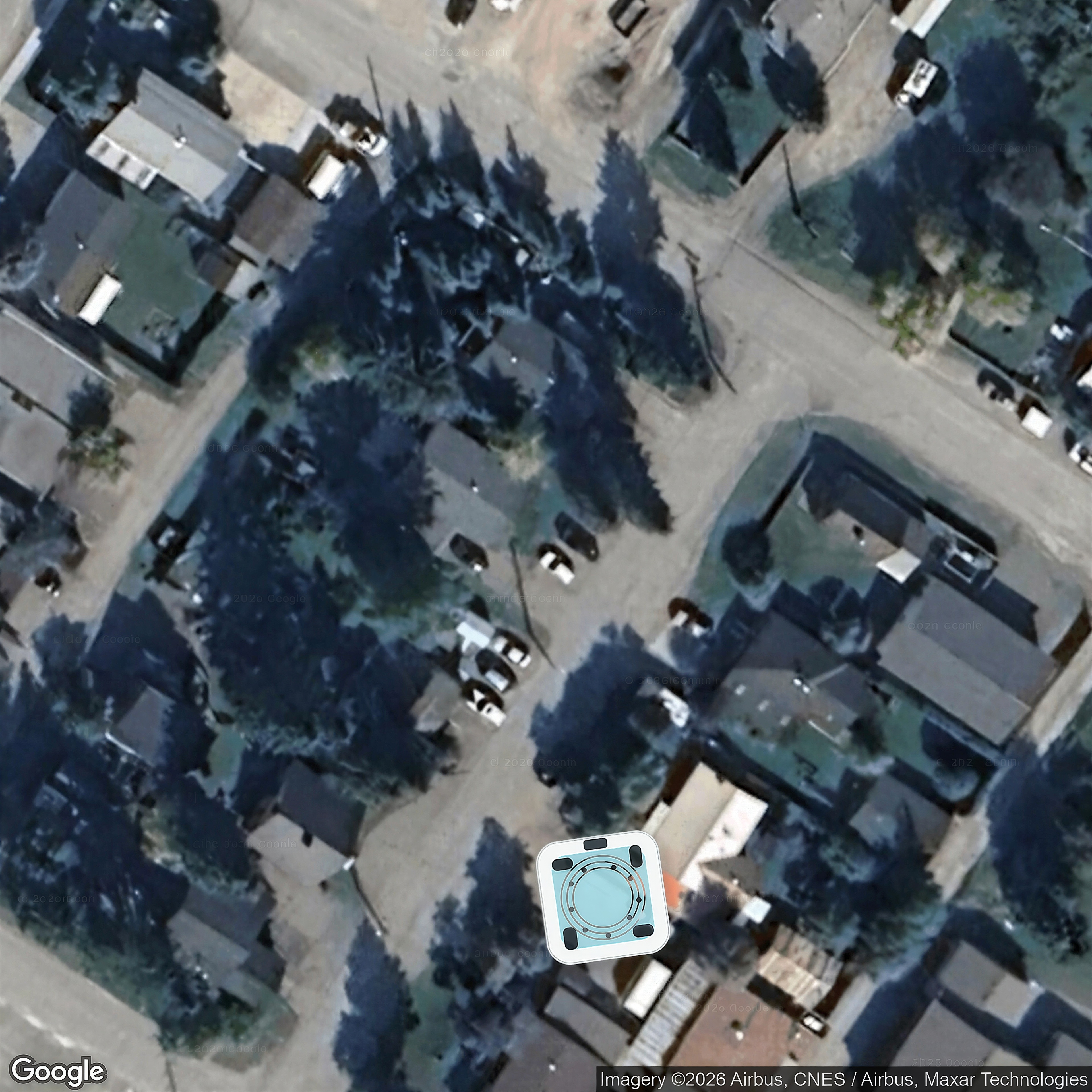
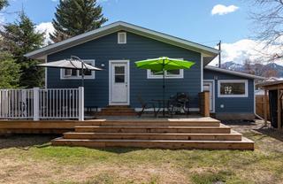
| 2264 BLACK HAWK Drive20021326 | Ground context only | 1,16,17 | no | 9 / 0 | — | no | — | listing |
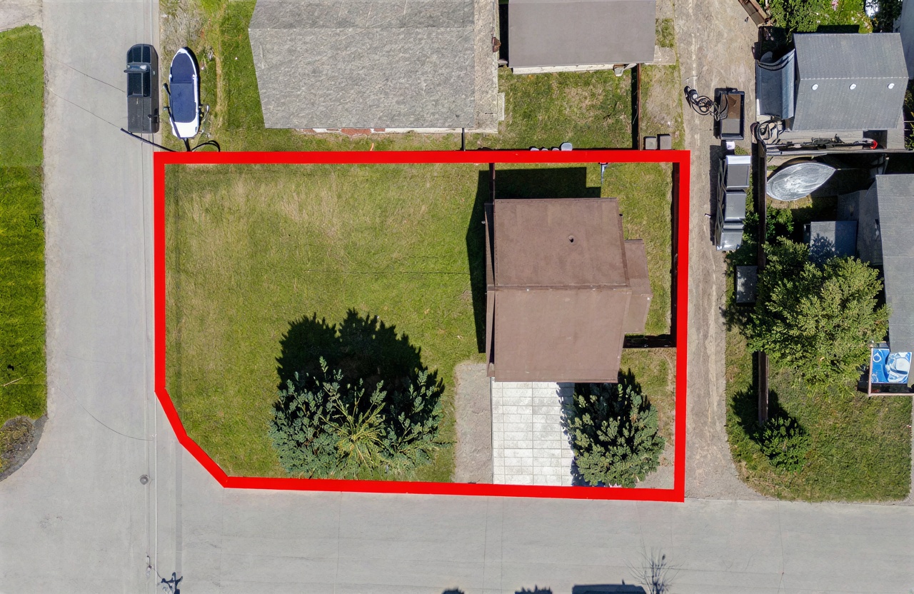
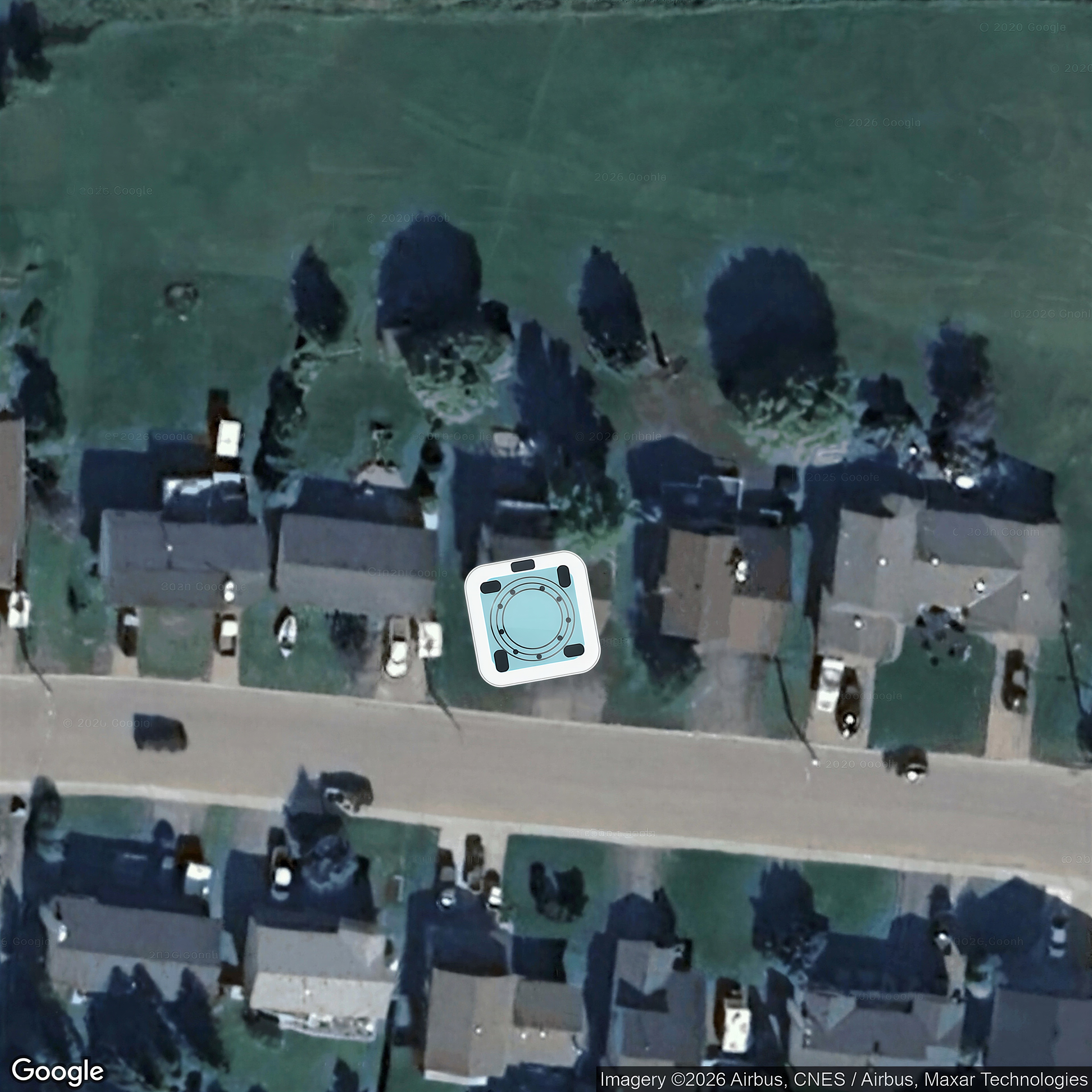
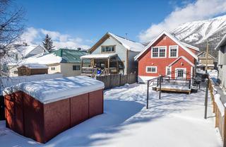
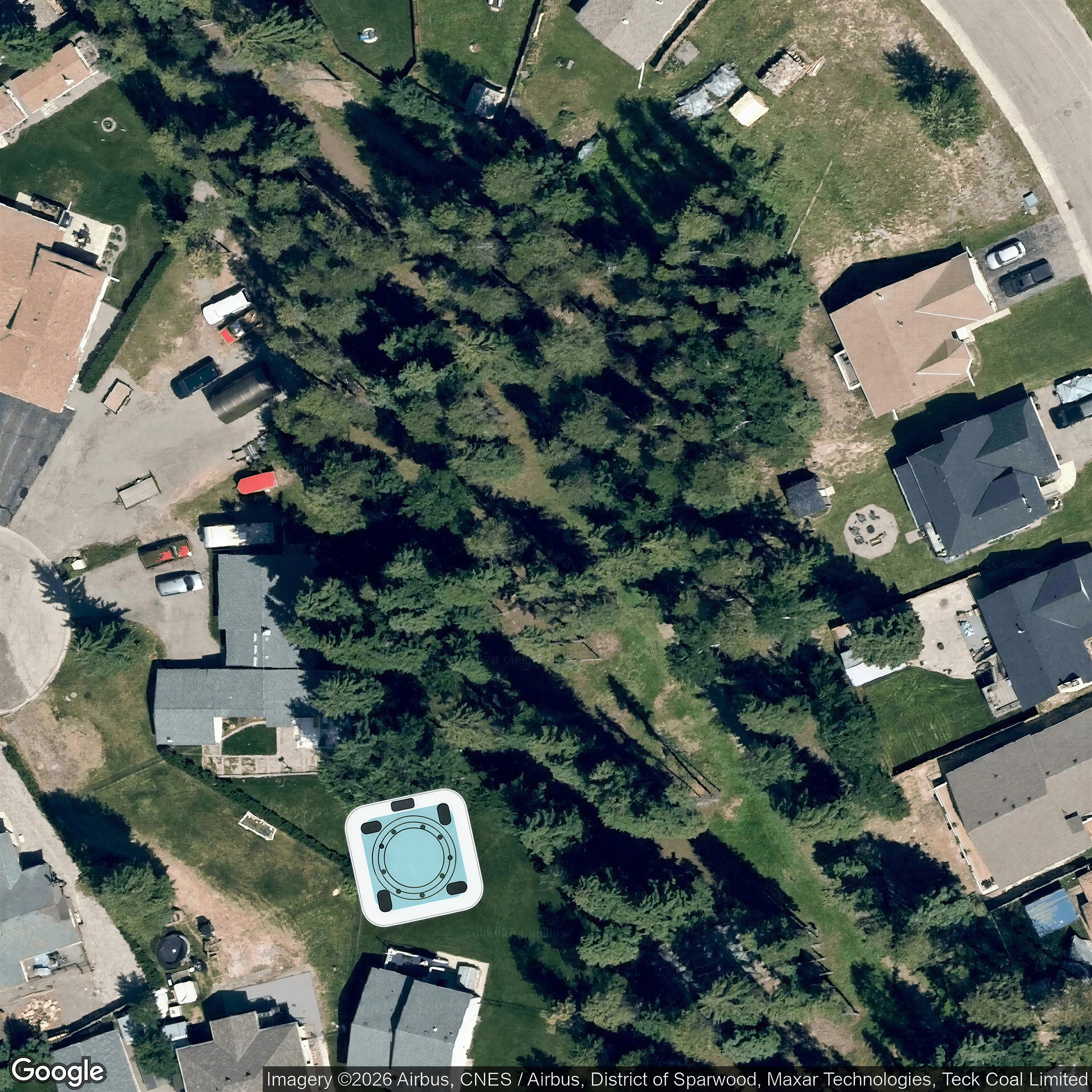
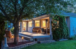
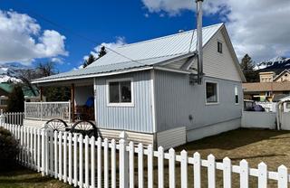
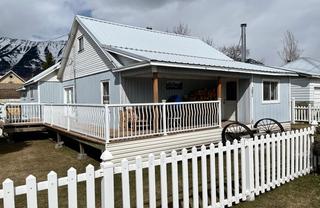
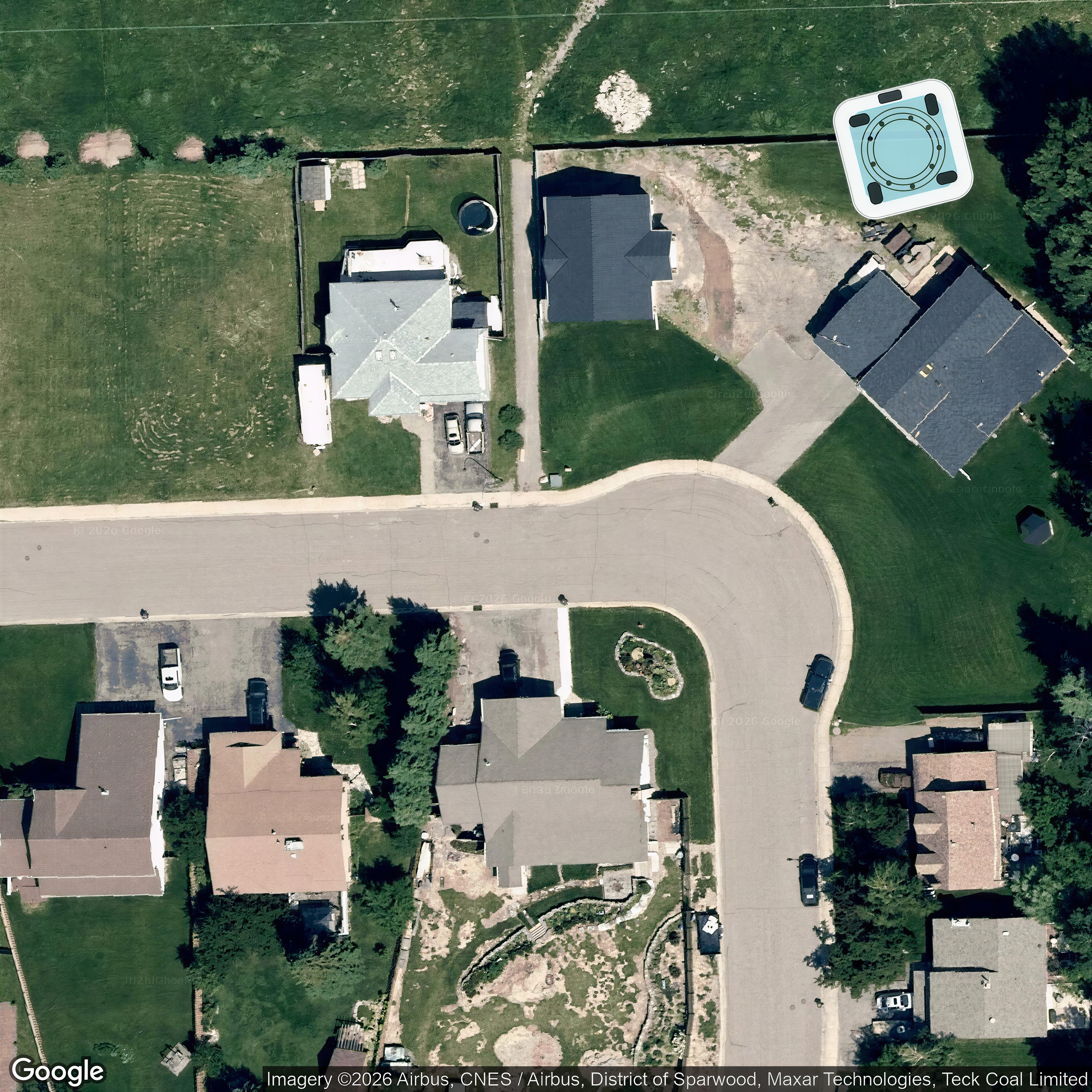
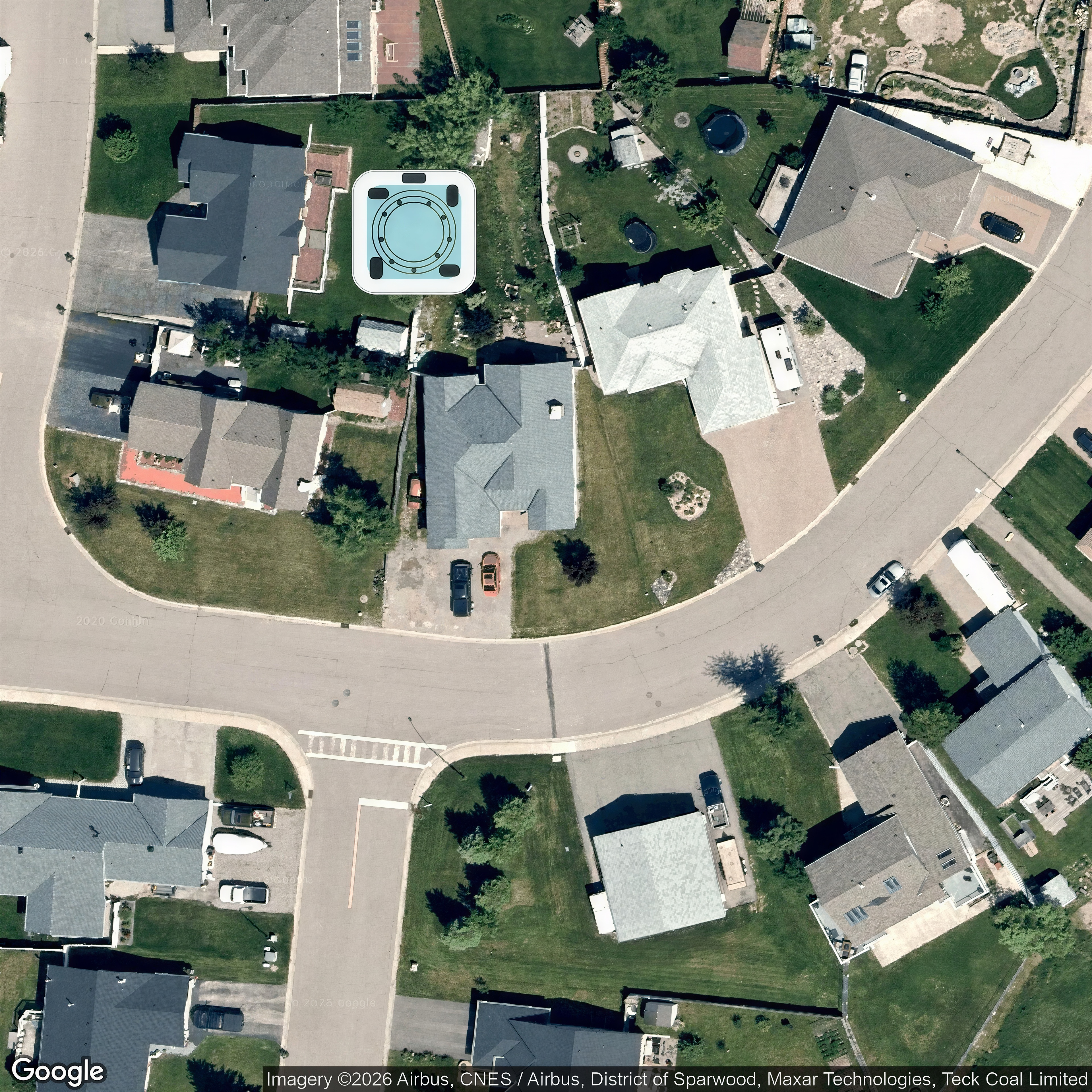
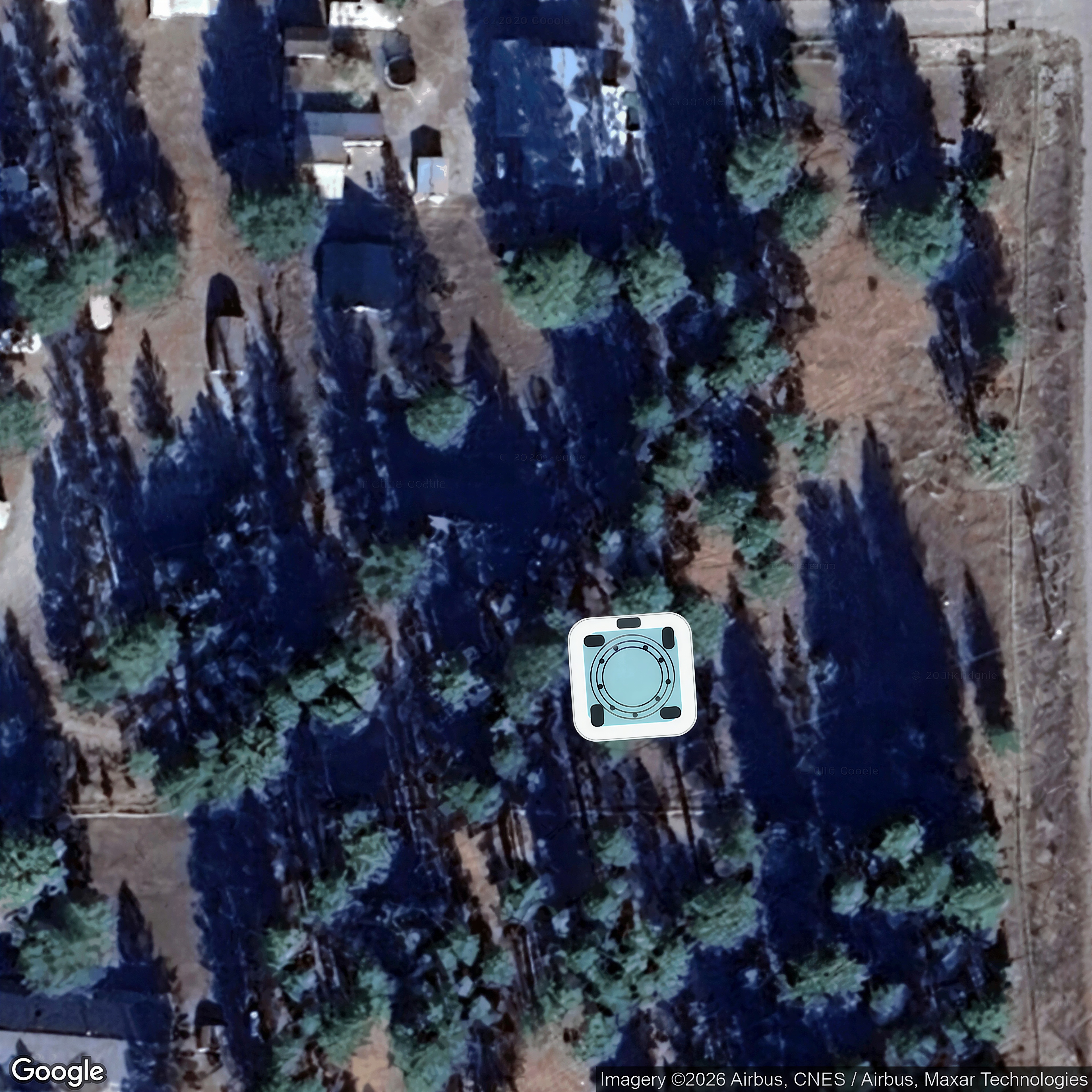
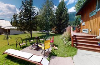
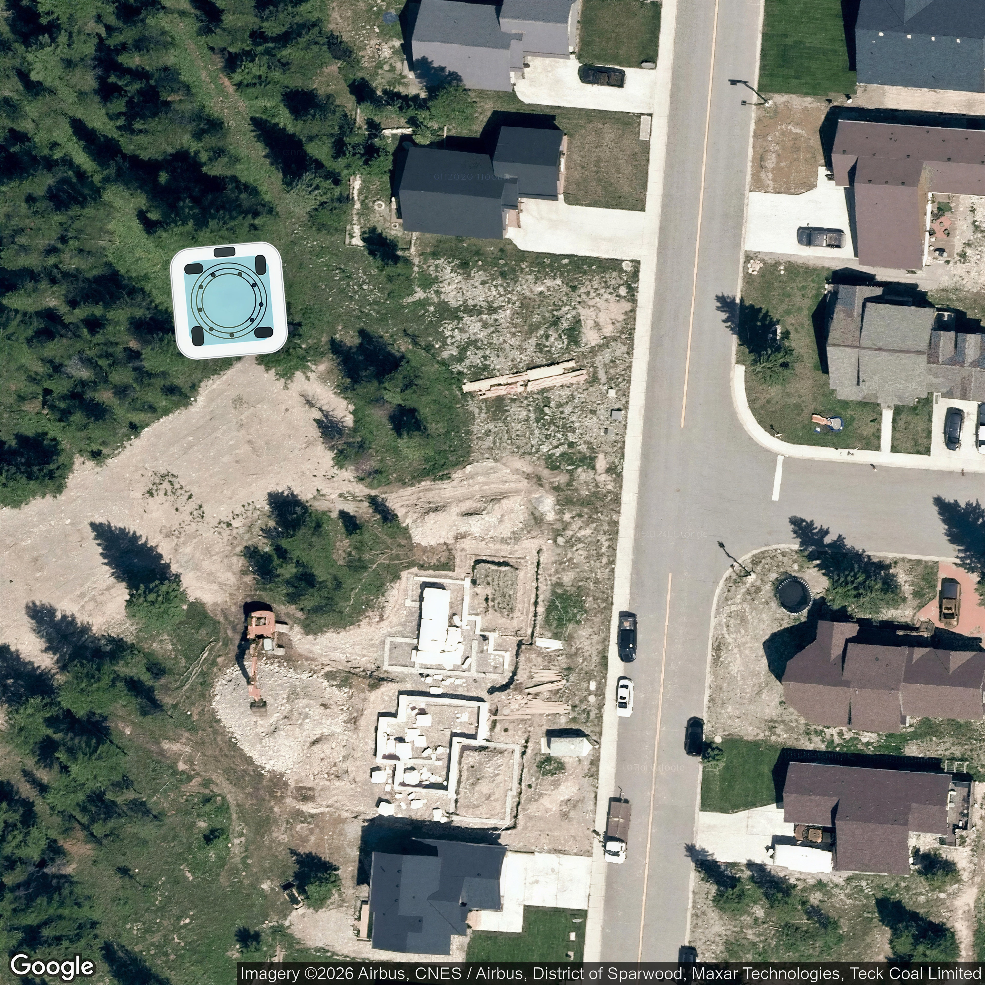
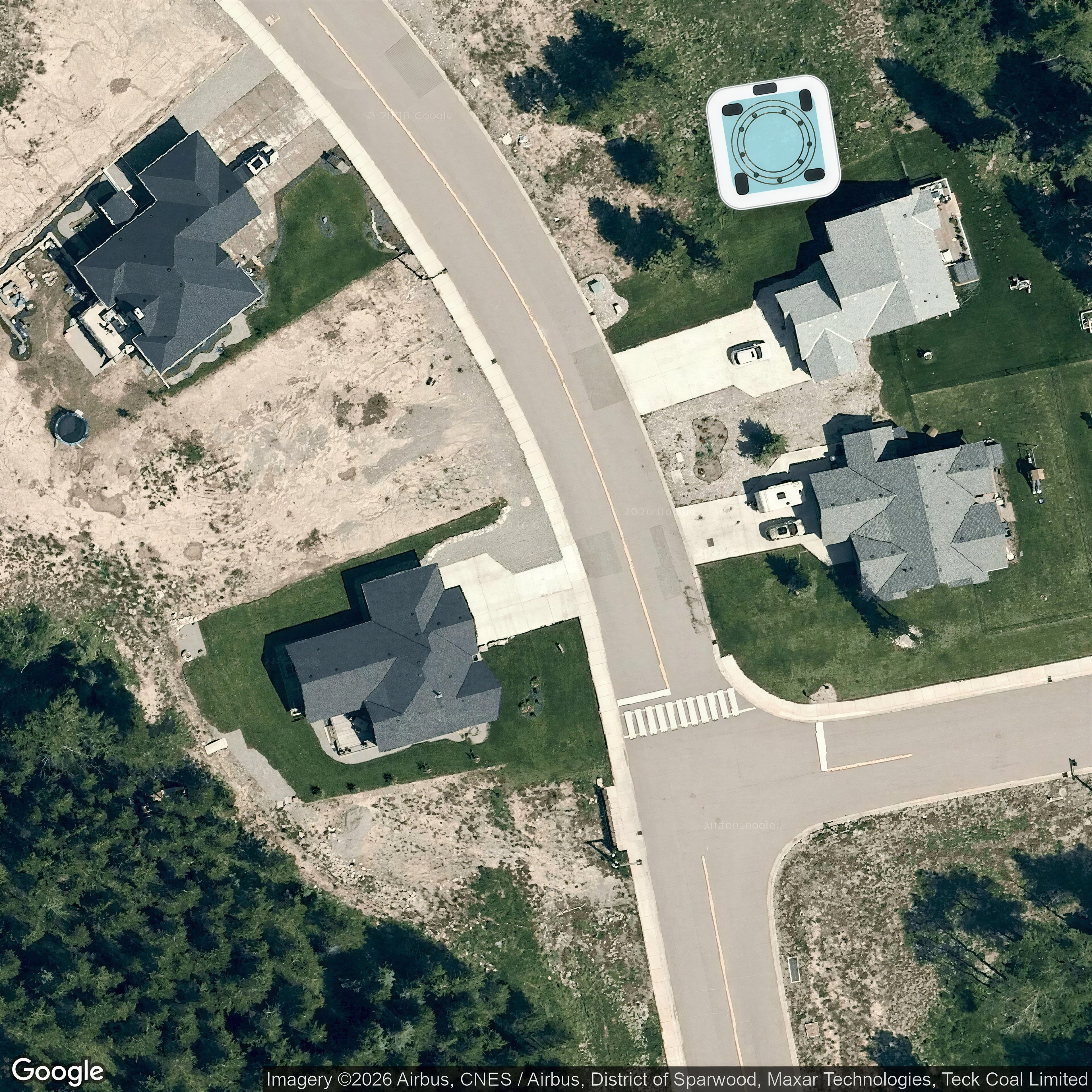
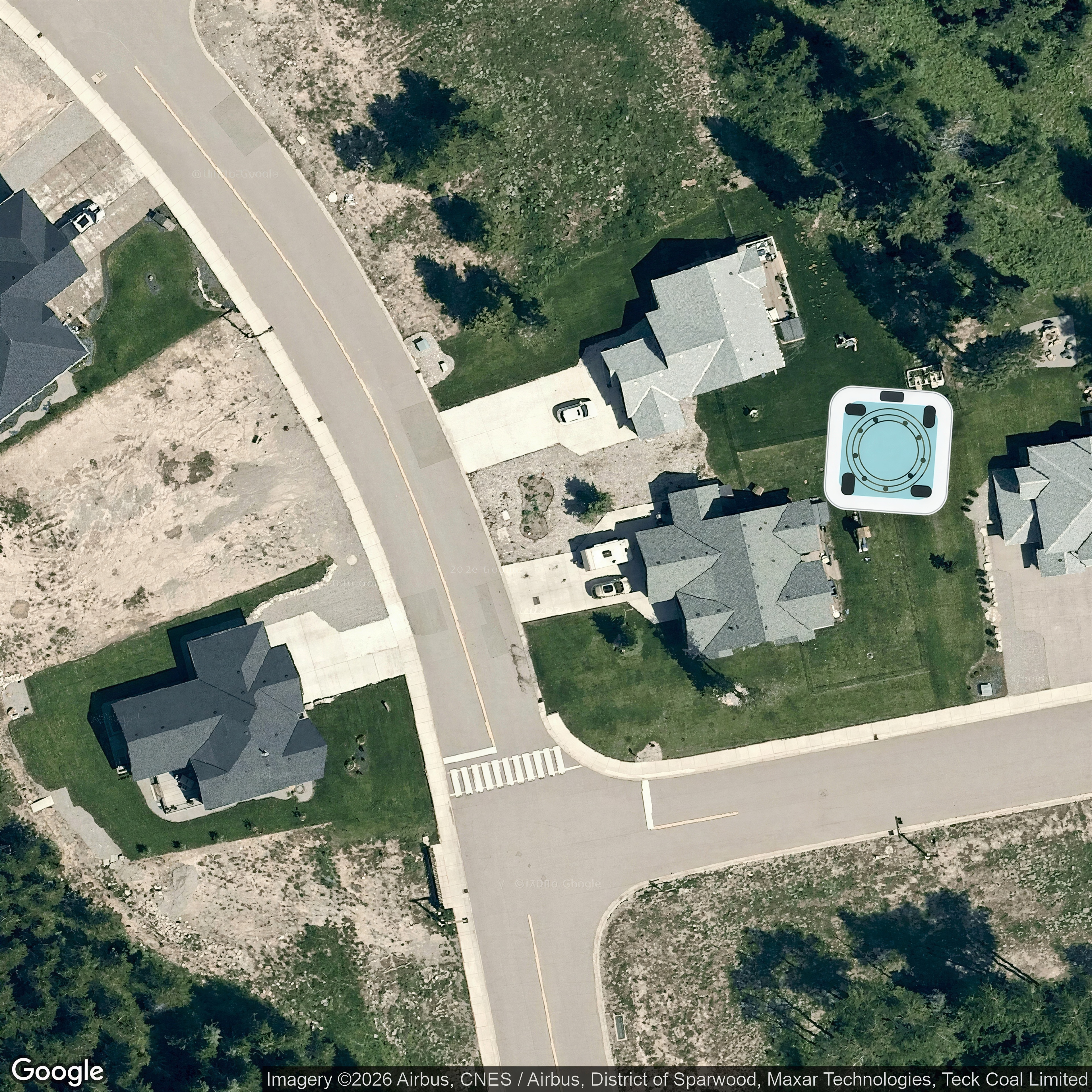
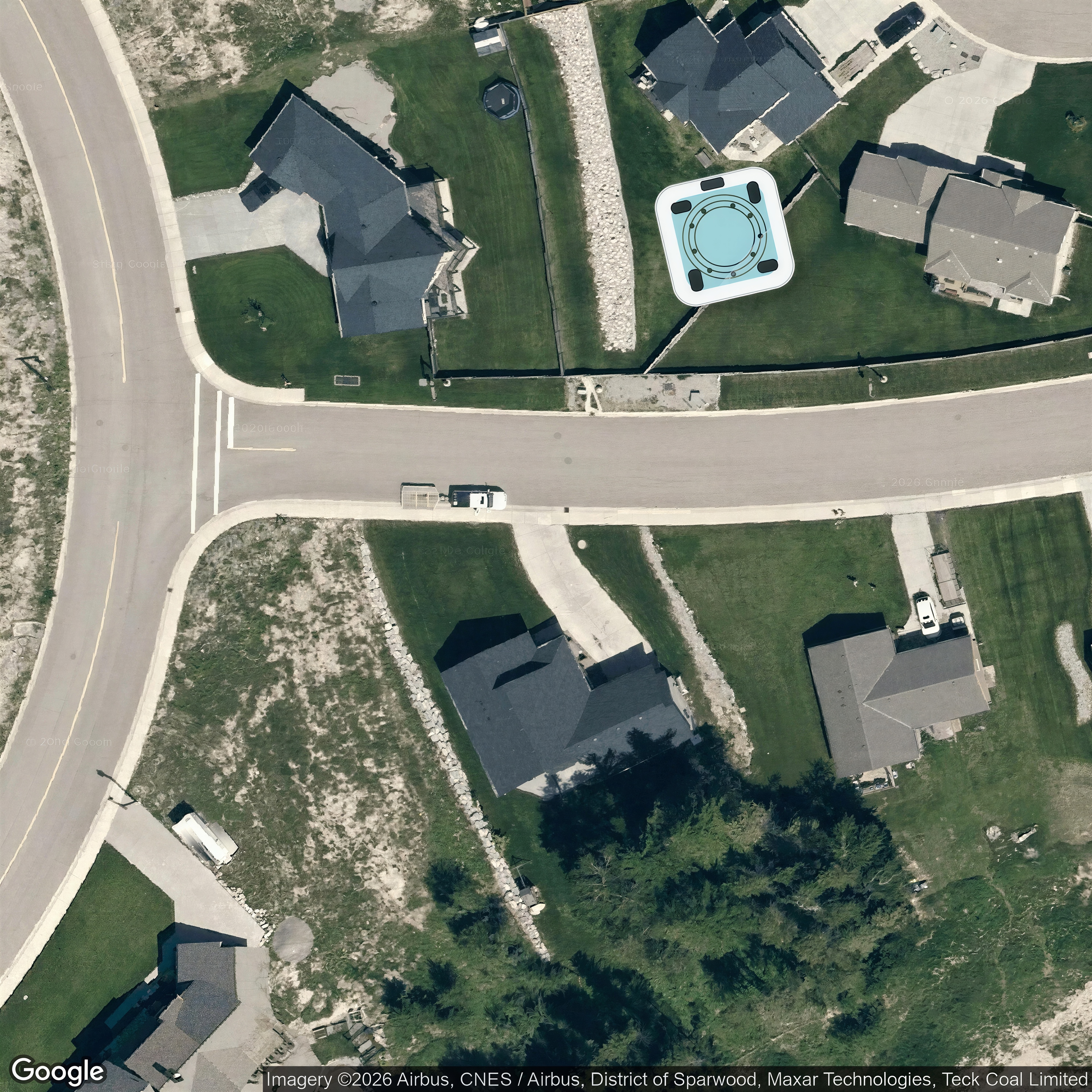
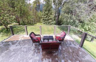
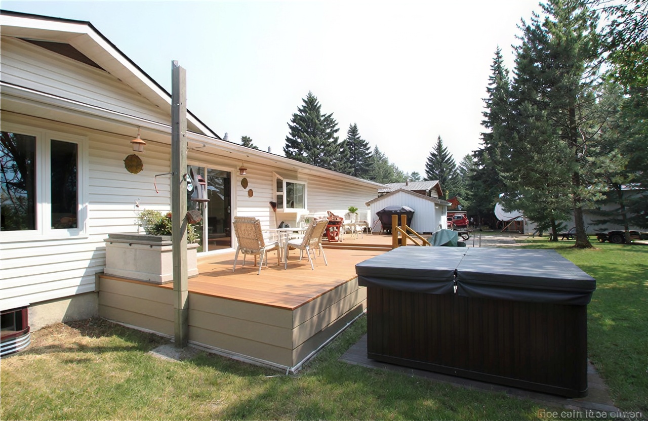
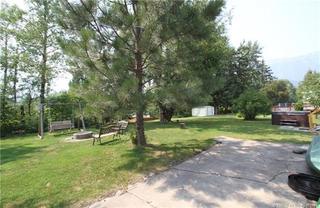
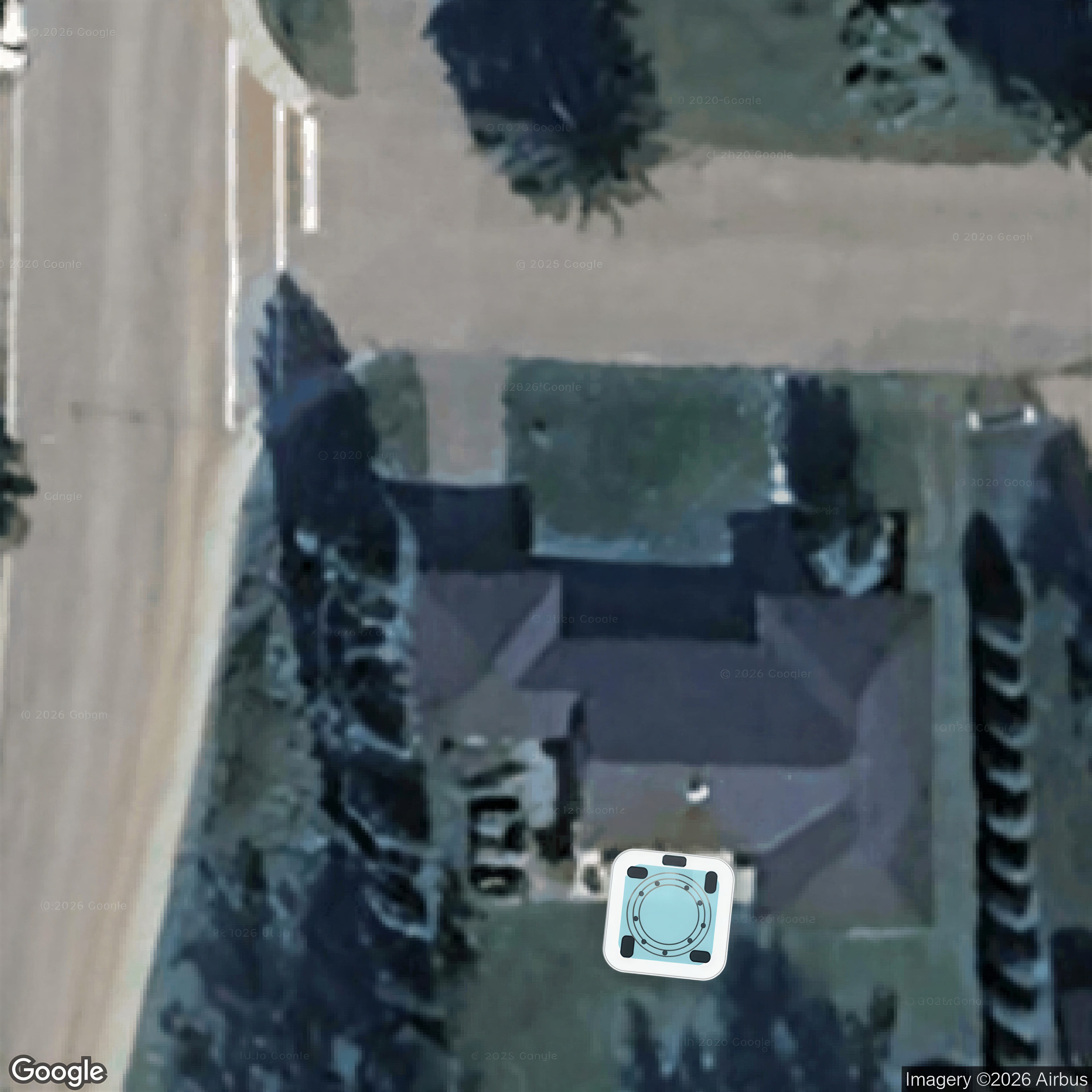
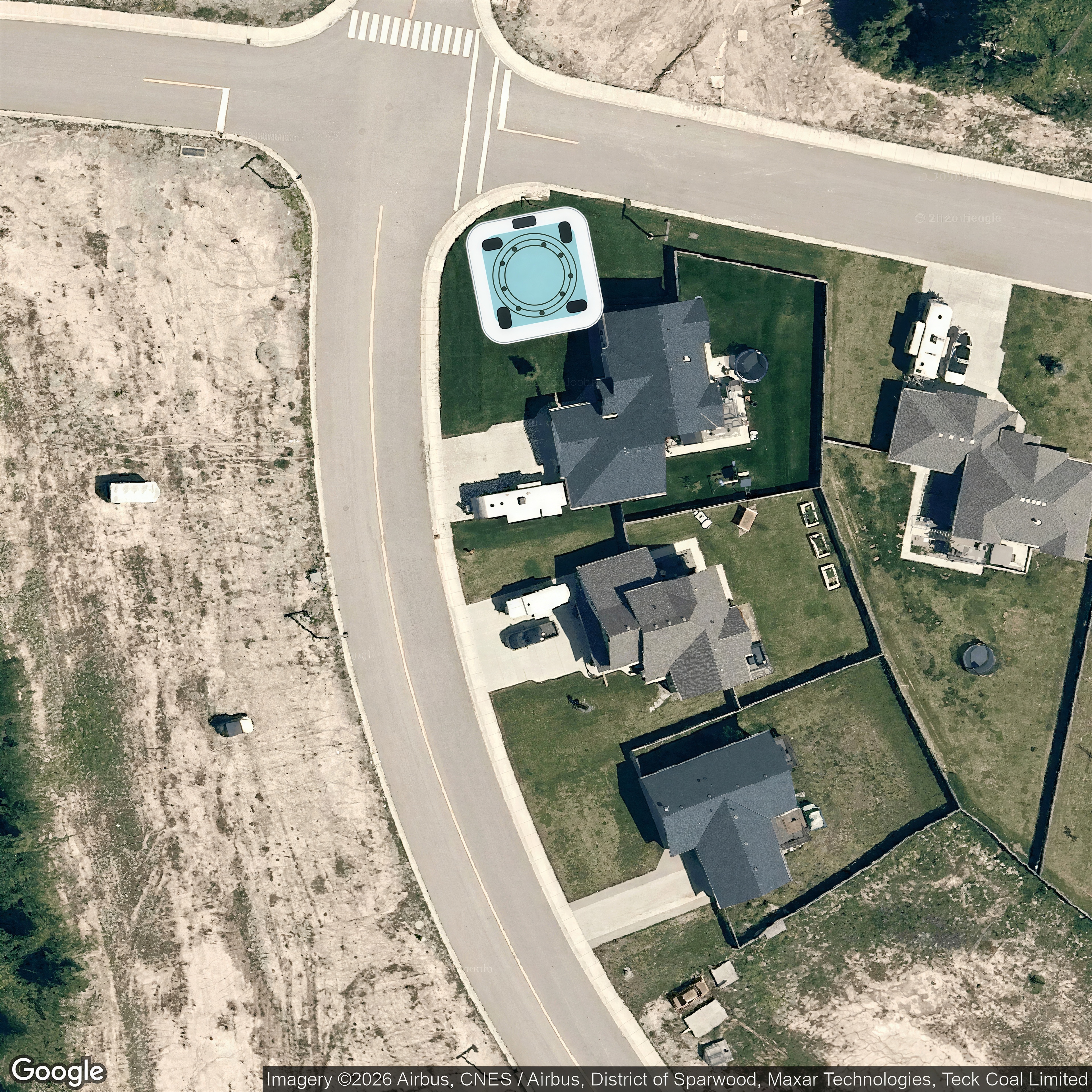
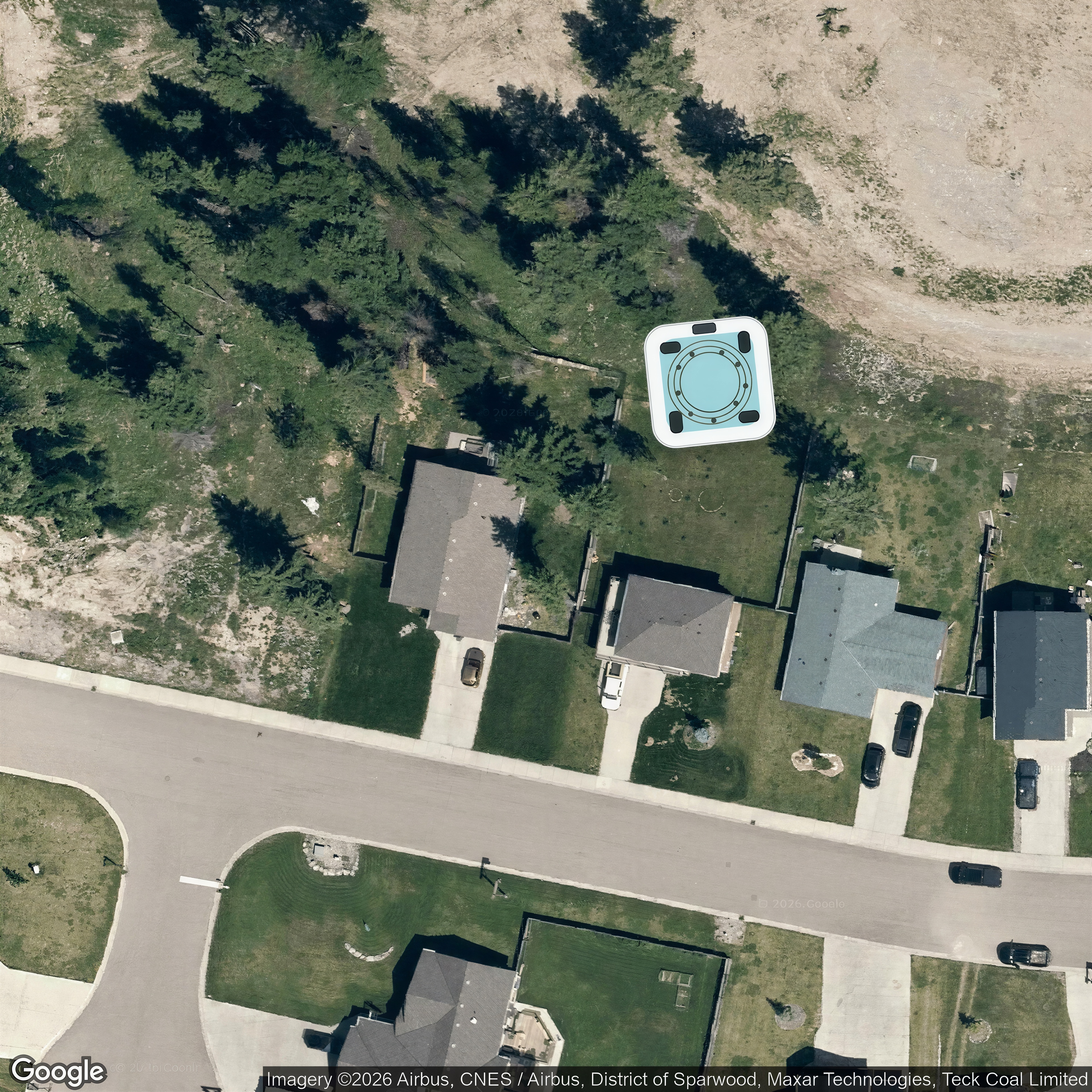
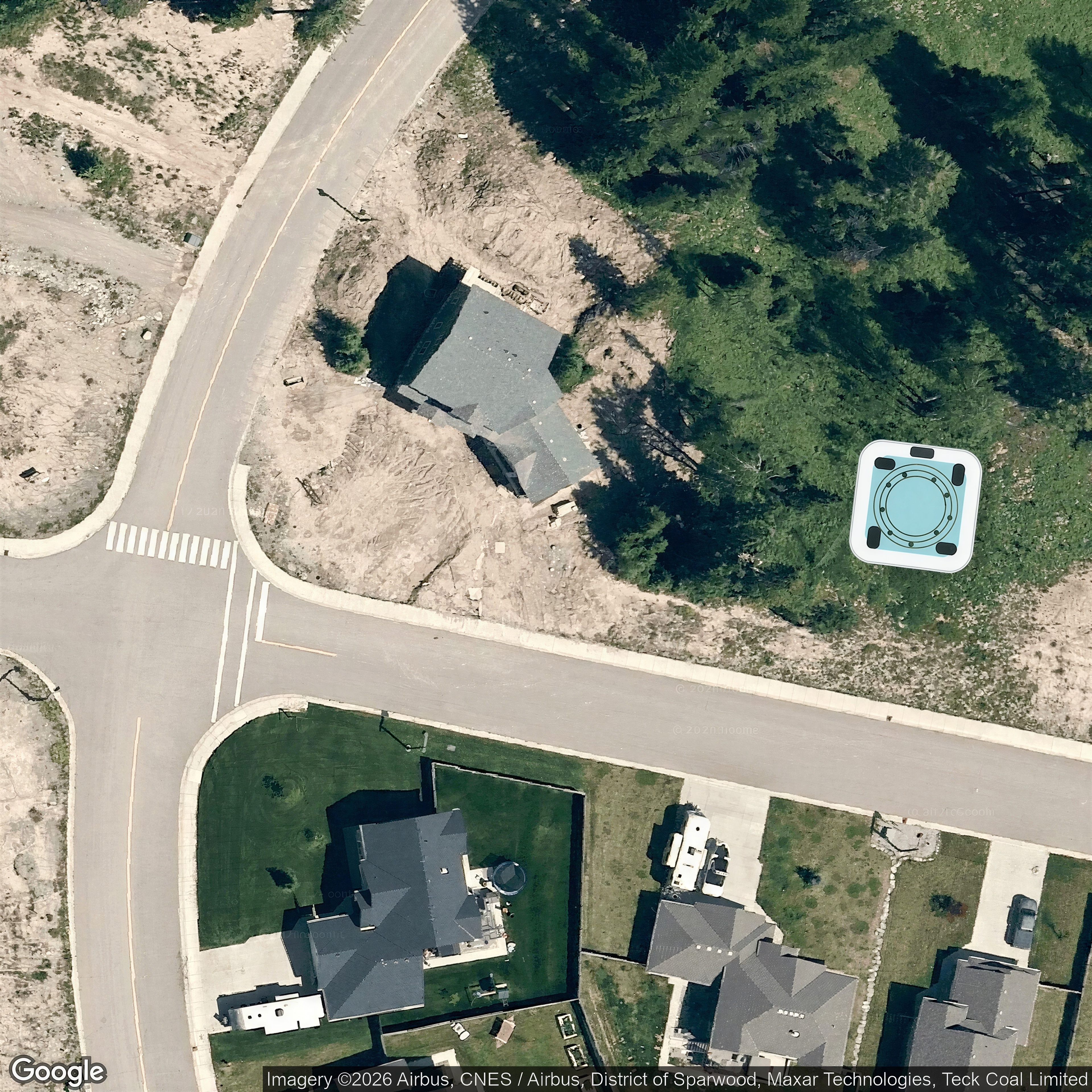
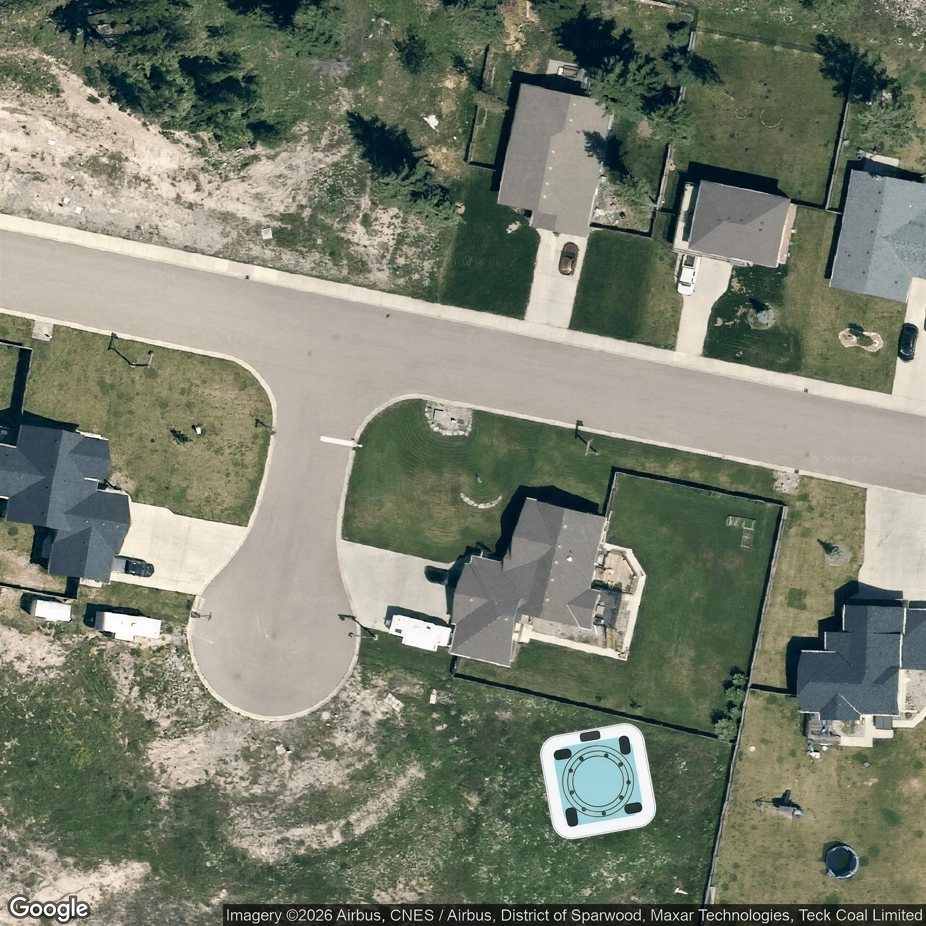
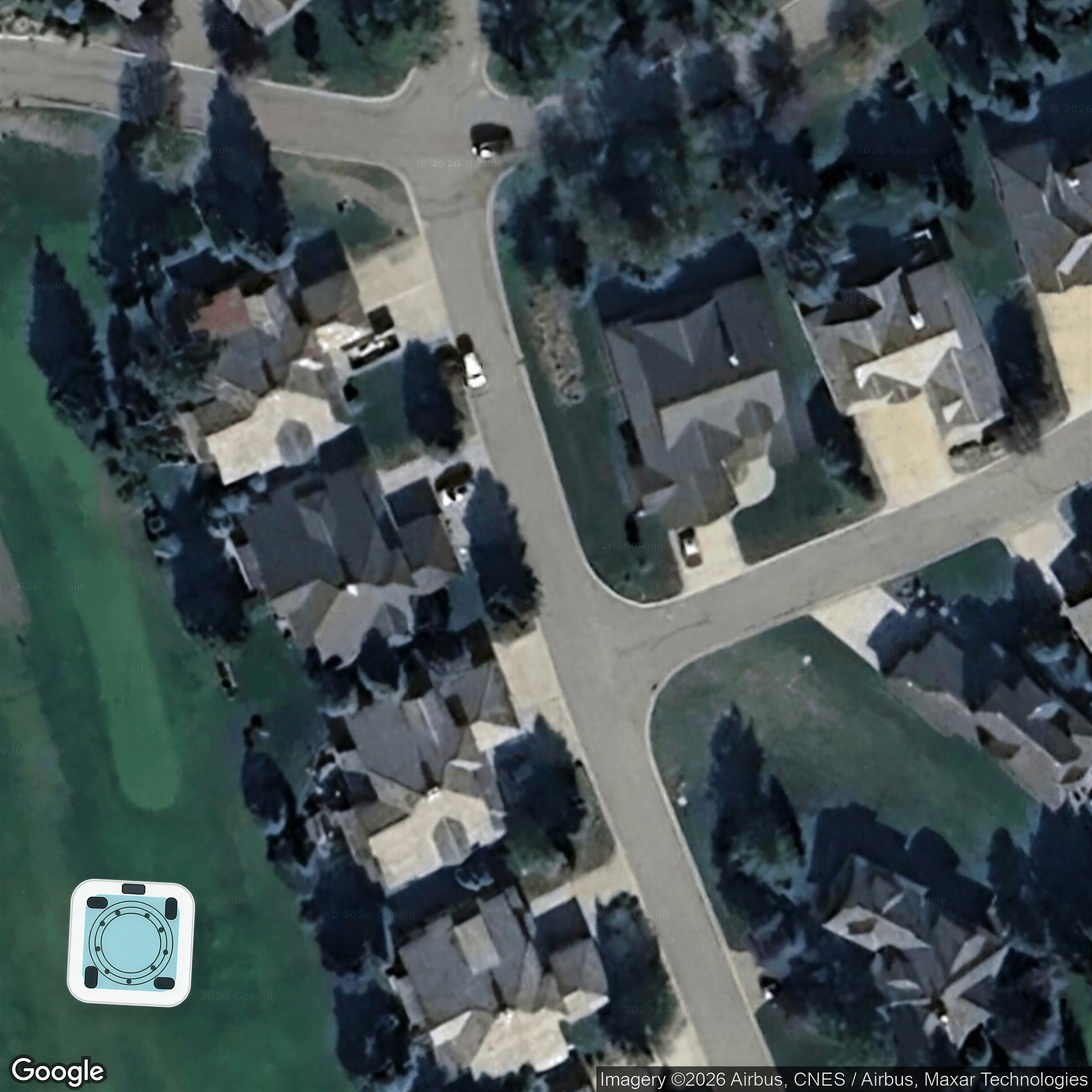
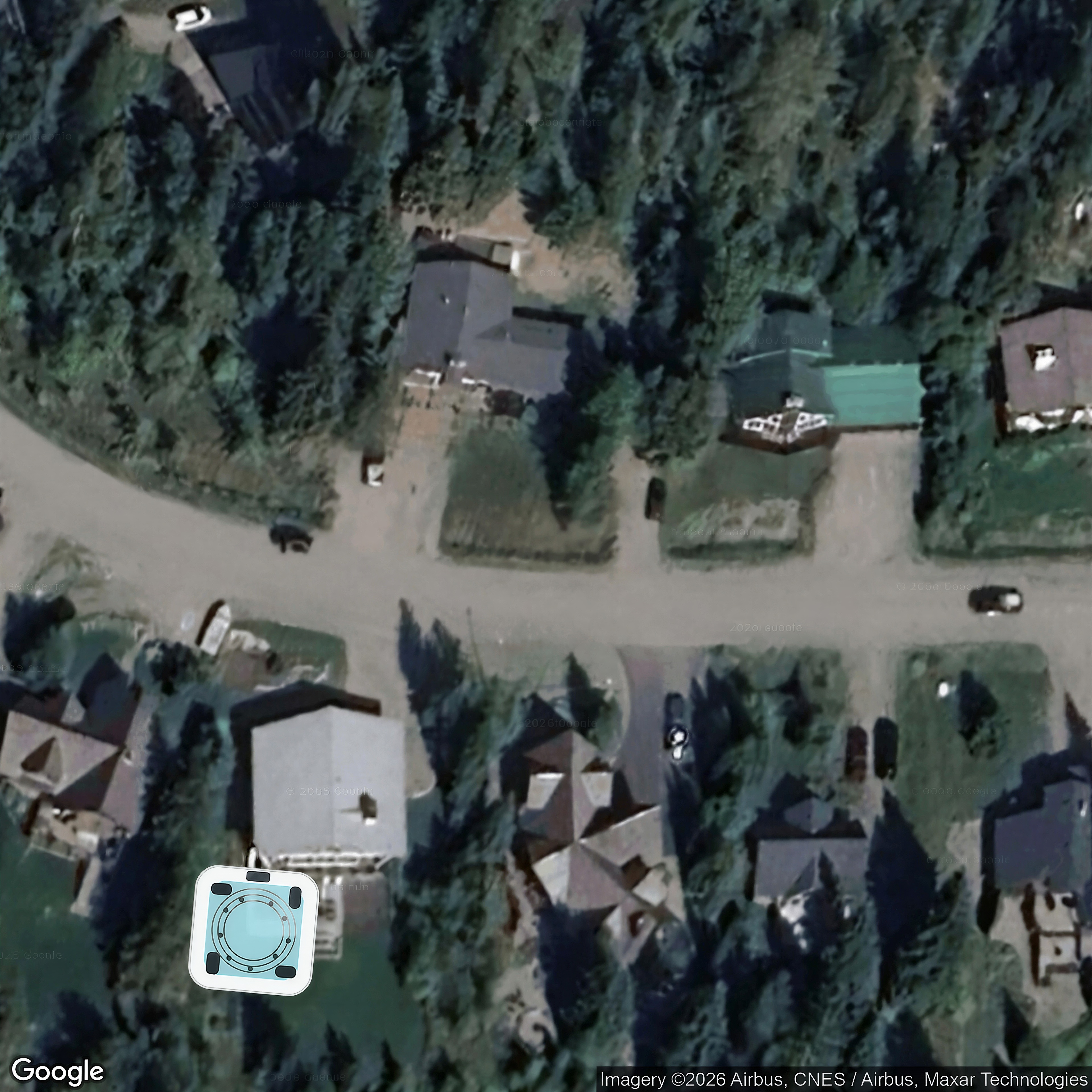
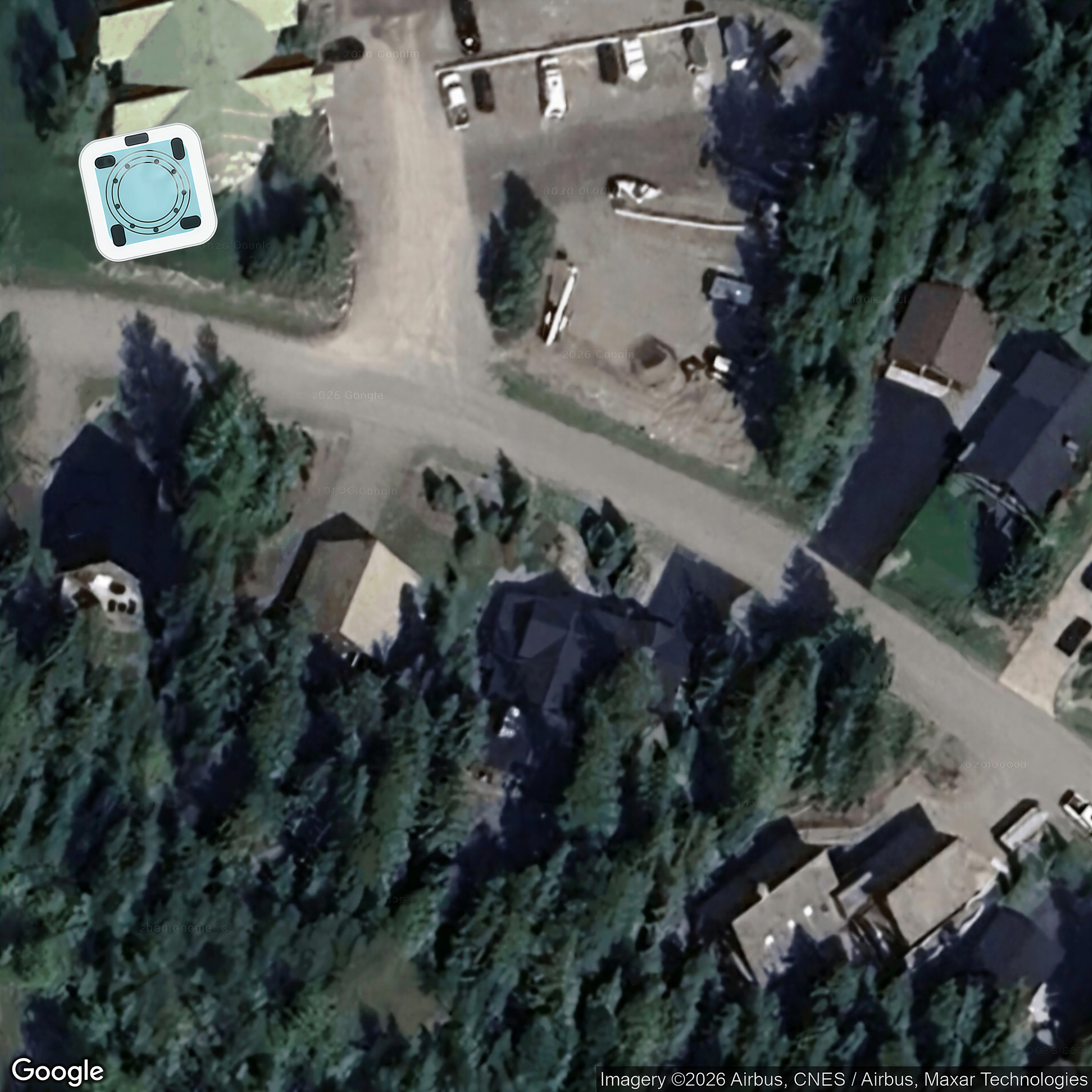
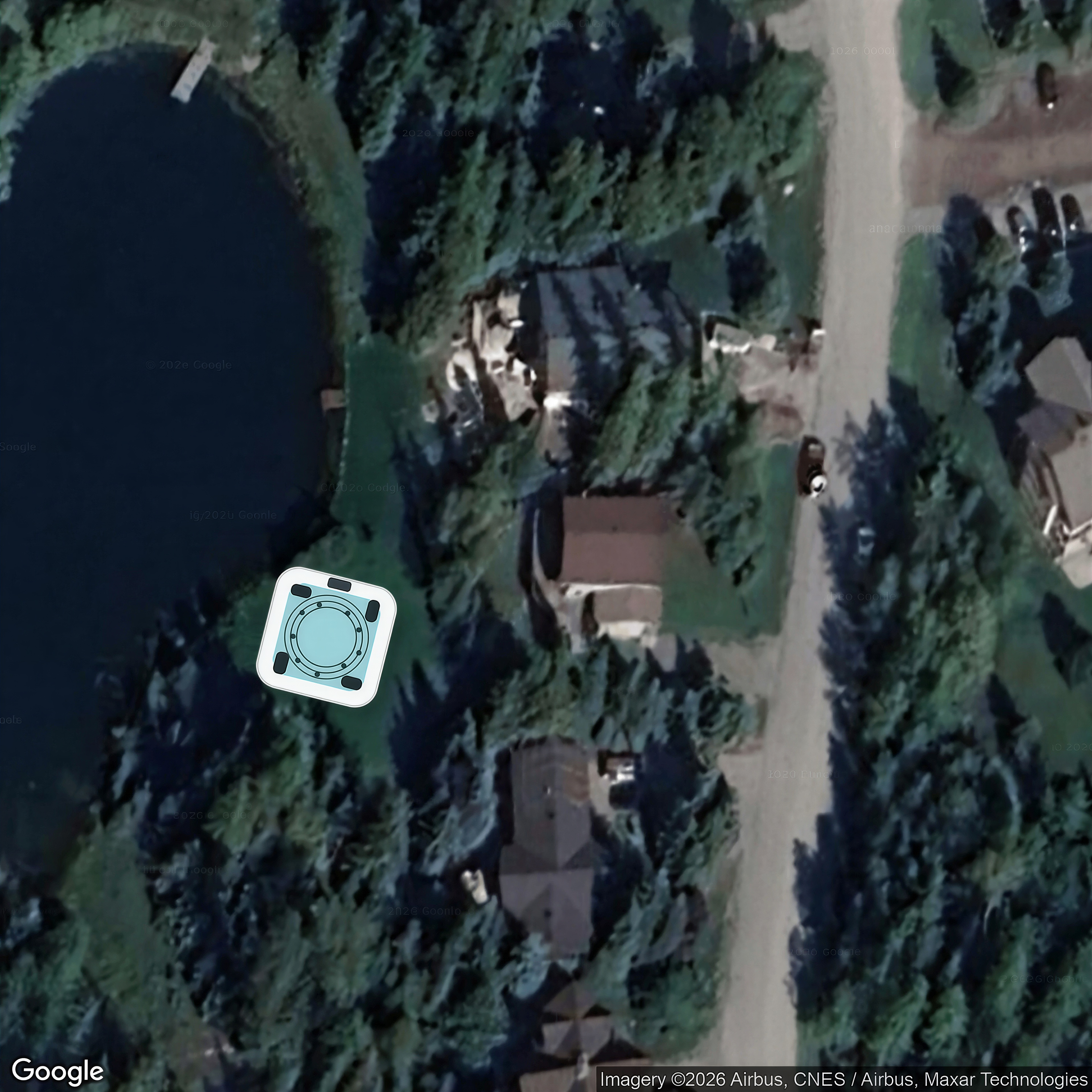
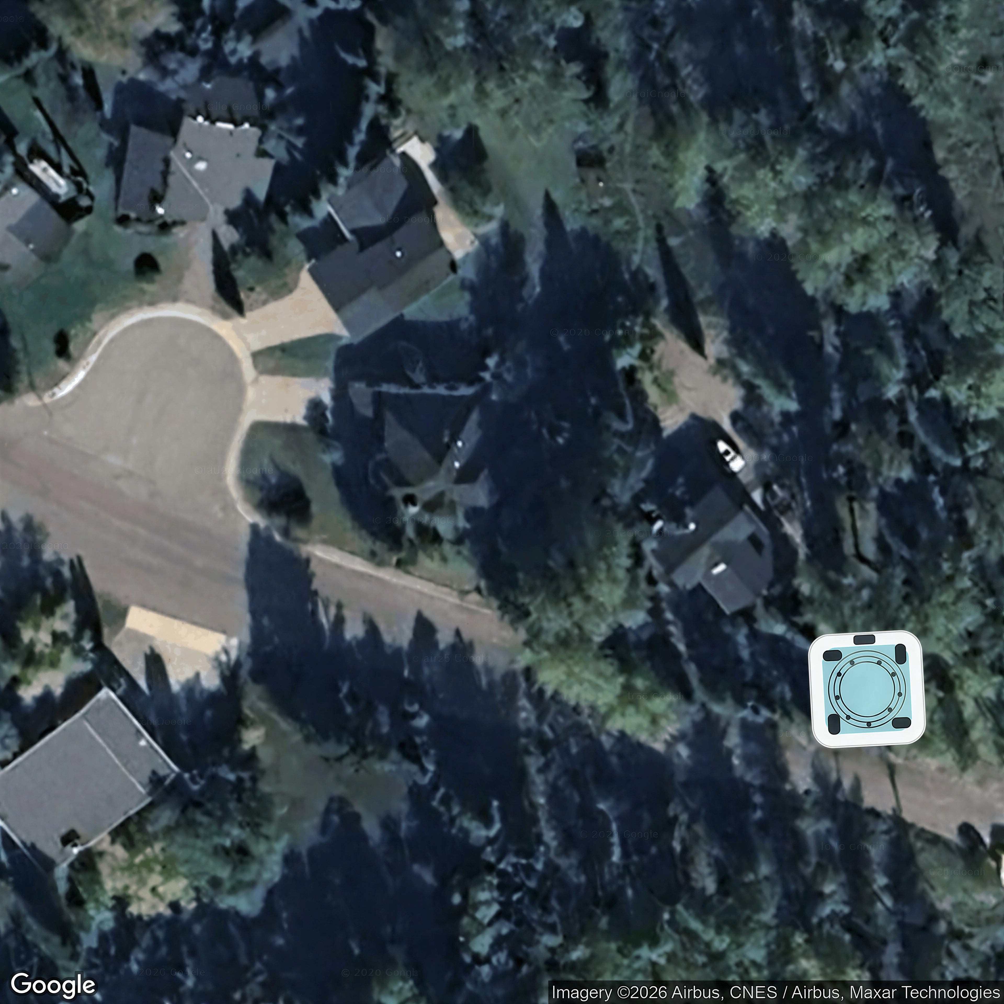
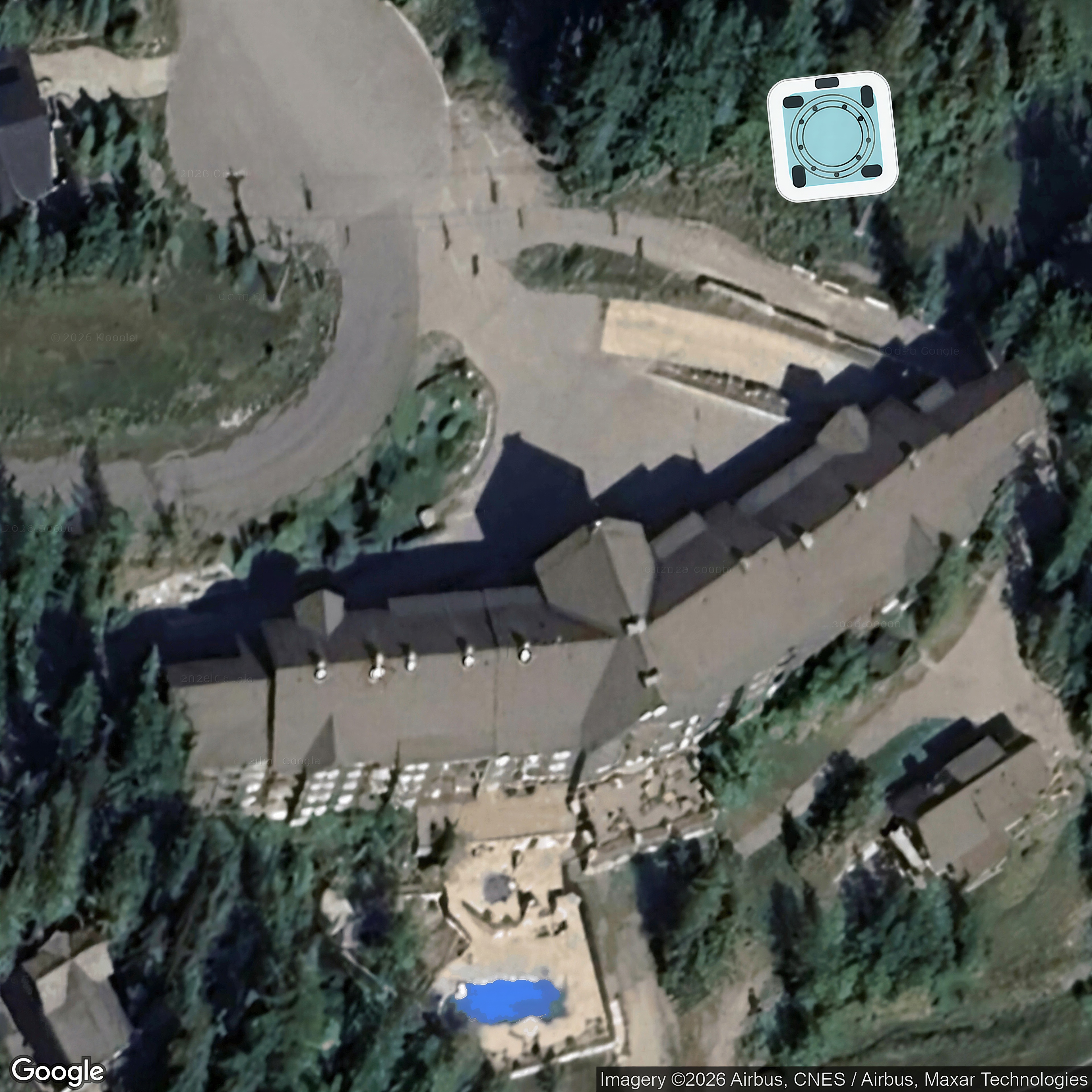
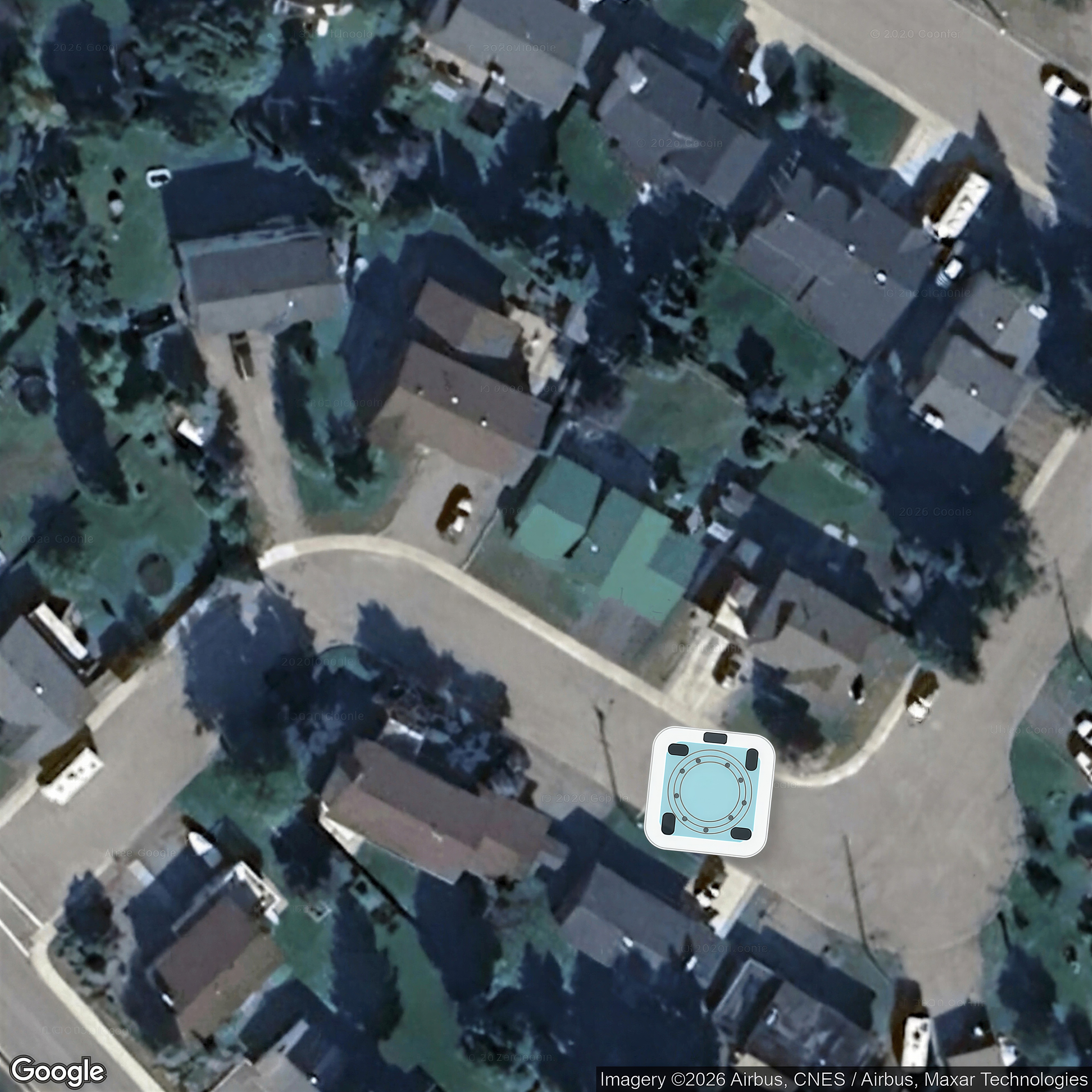
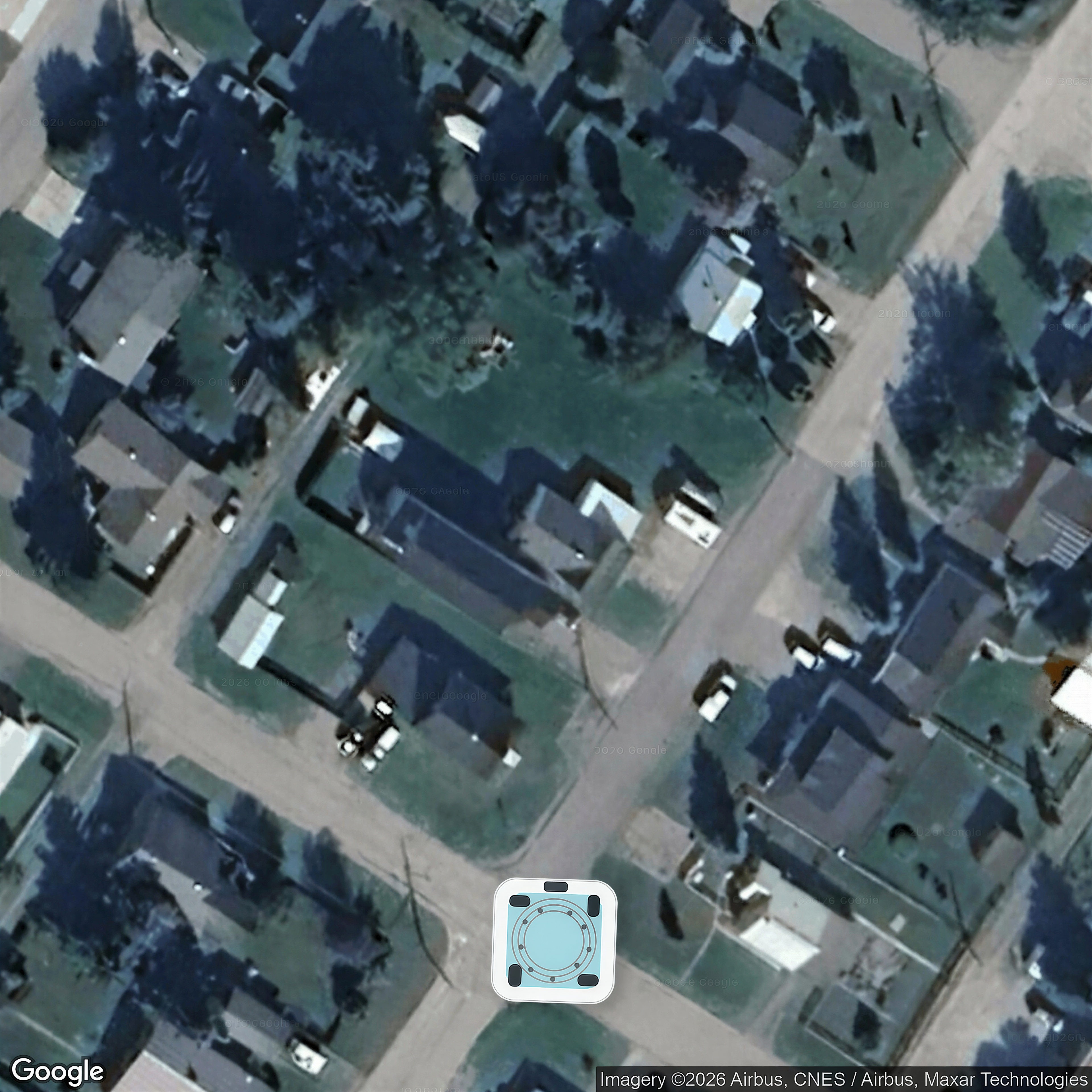
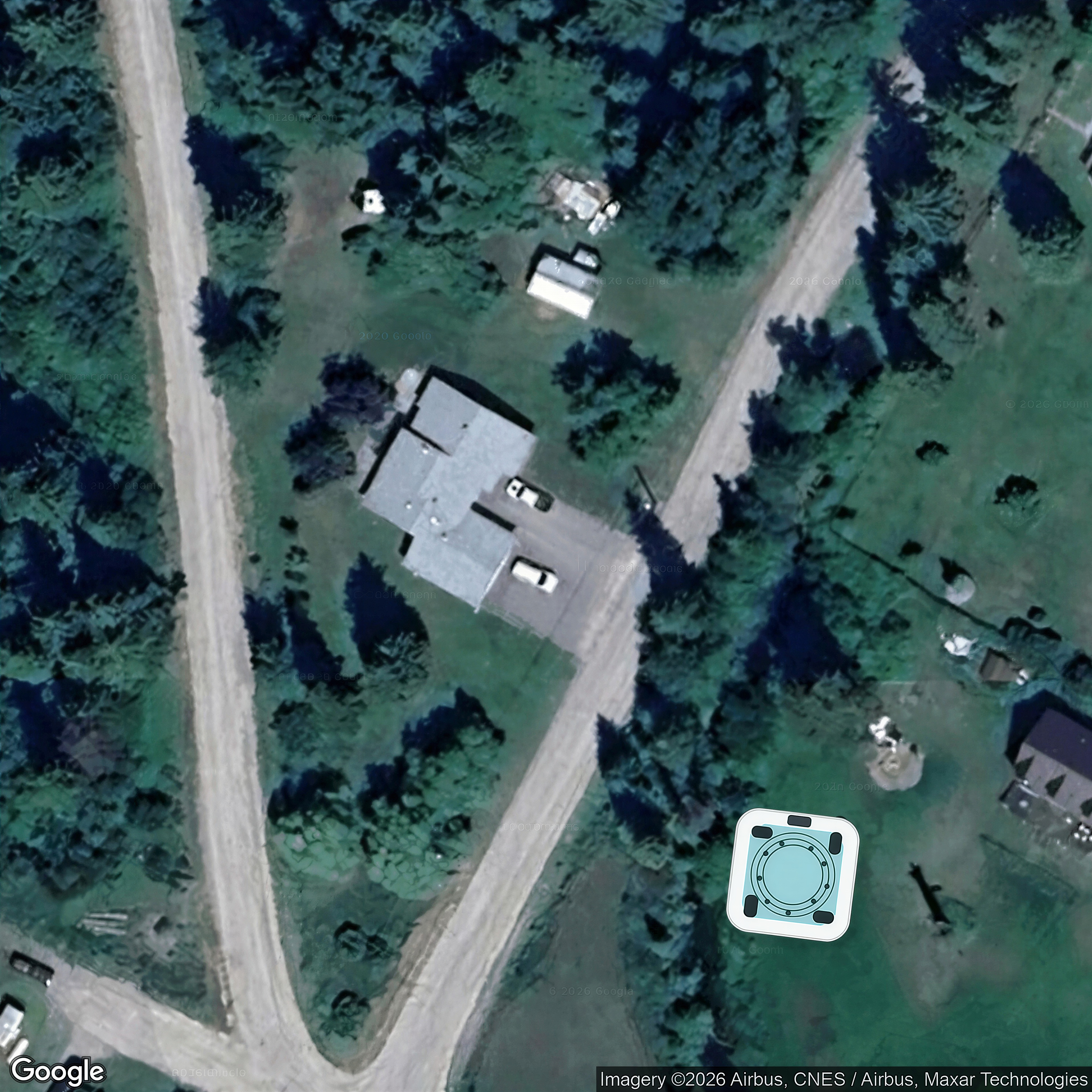
 Tub concept mockup · SeedVR 4x
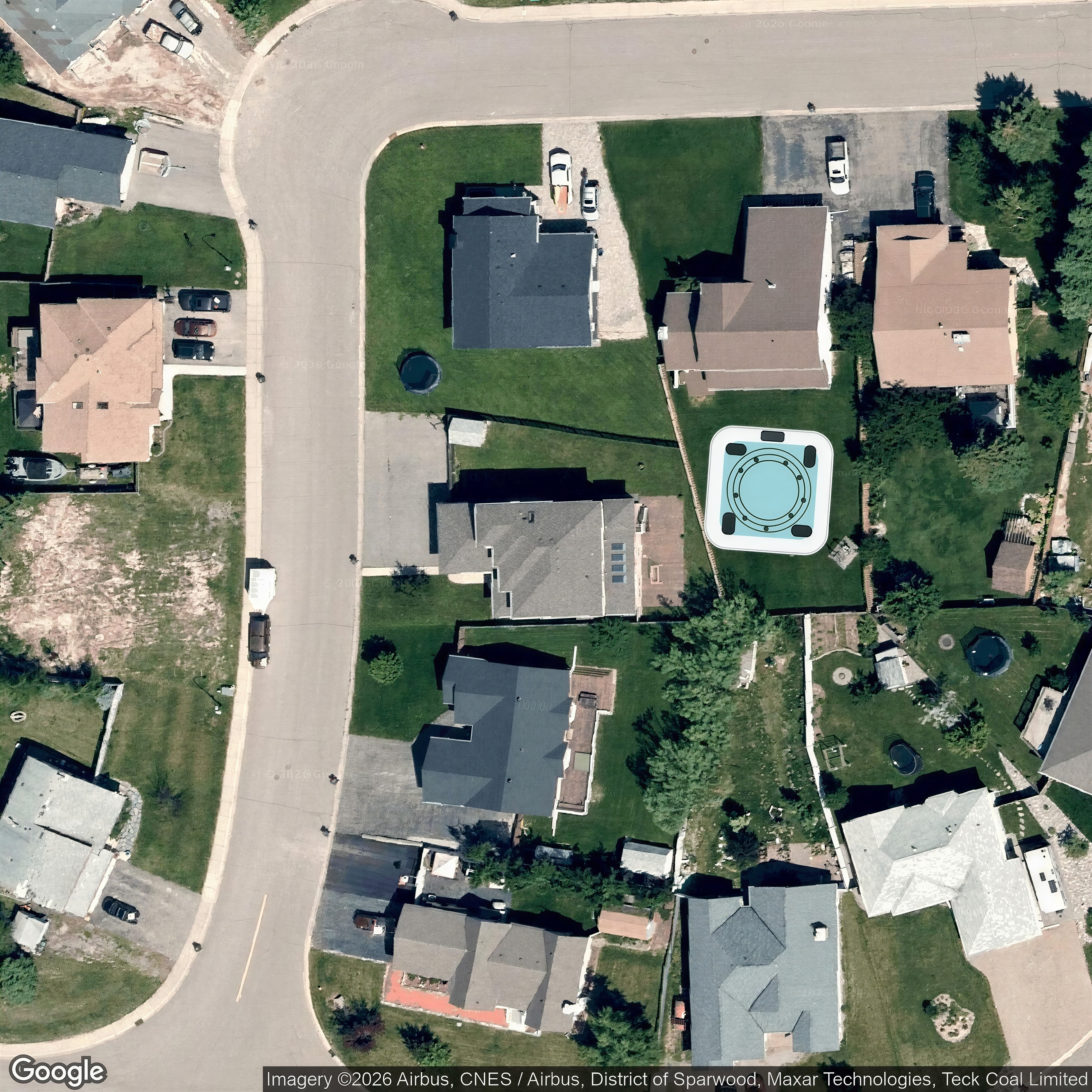
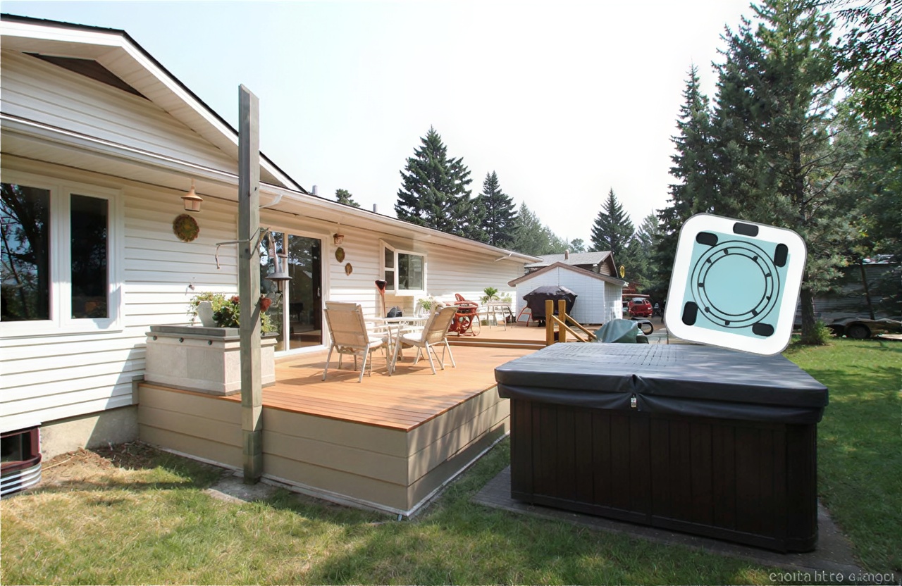
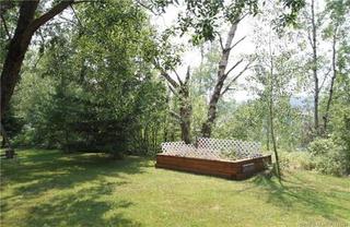
 Concept mockup only — hot tub digitally added.
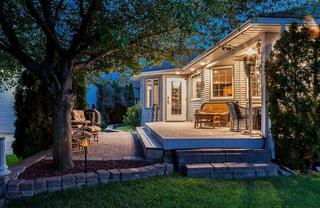
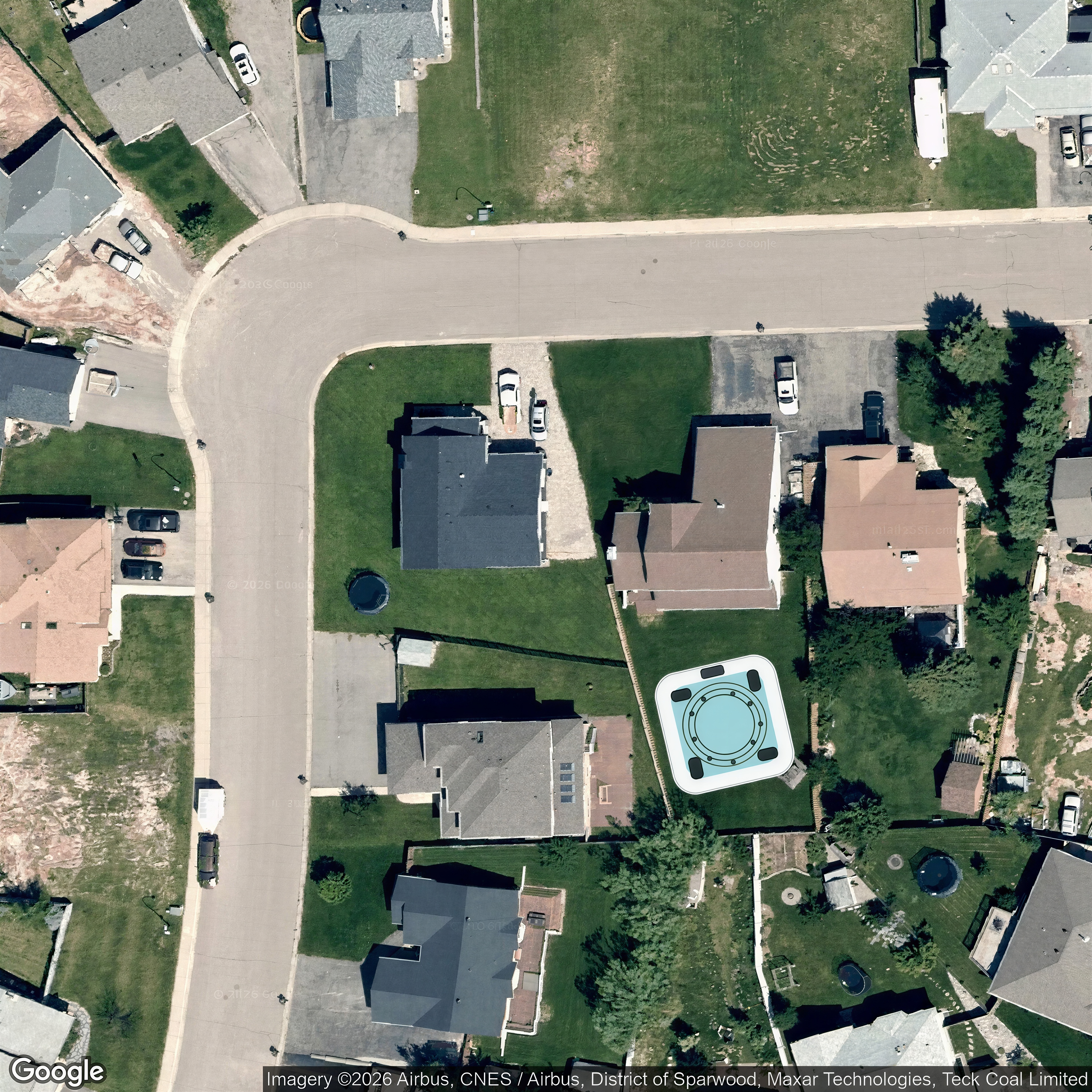
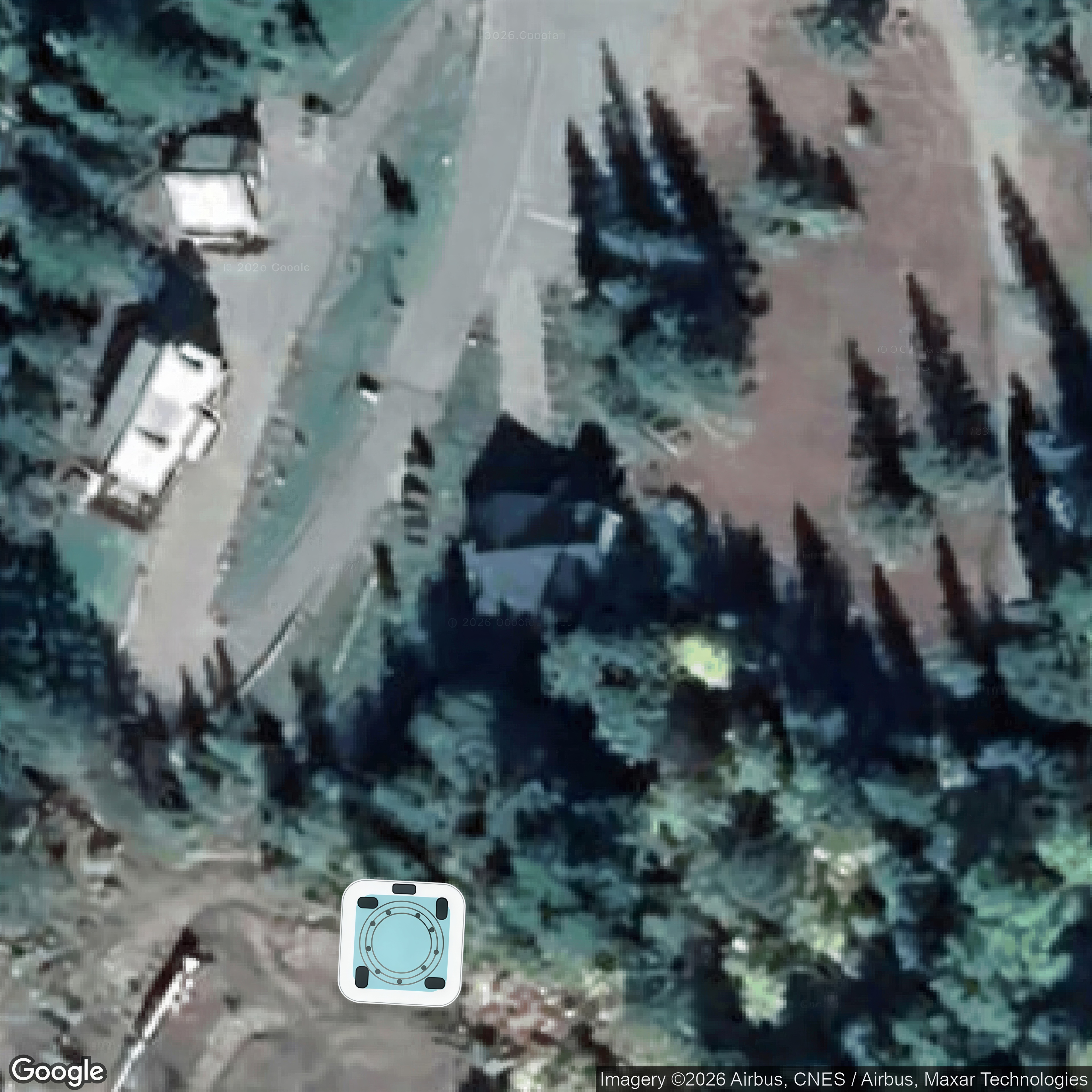
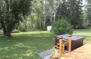
 Concept mockup only — hot tub digitally added.
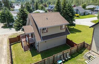
 Concept mockup only — hot tub digitally added.
 Concept mockup only — hot tub digitally added.
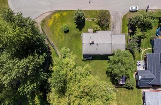

 Concept mockup only — hot tub digitally added.
 Concept mockup only — hot tub digitally added.
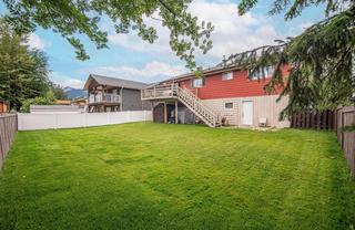
 Concept mockup only — hot tub digitally added.
 Concept mockup only — hot tub digitally added.
 Concept mockup only — hot tub digitally added.
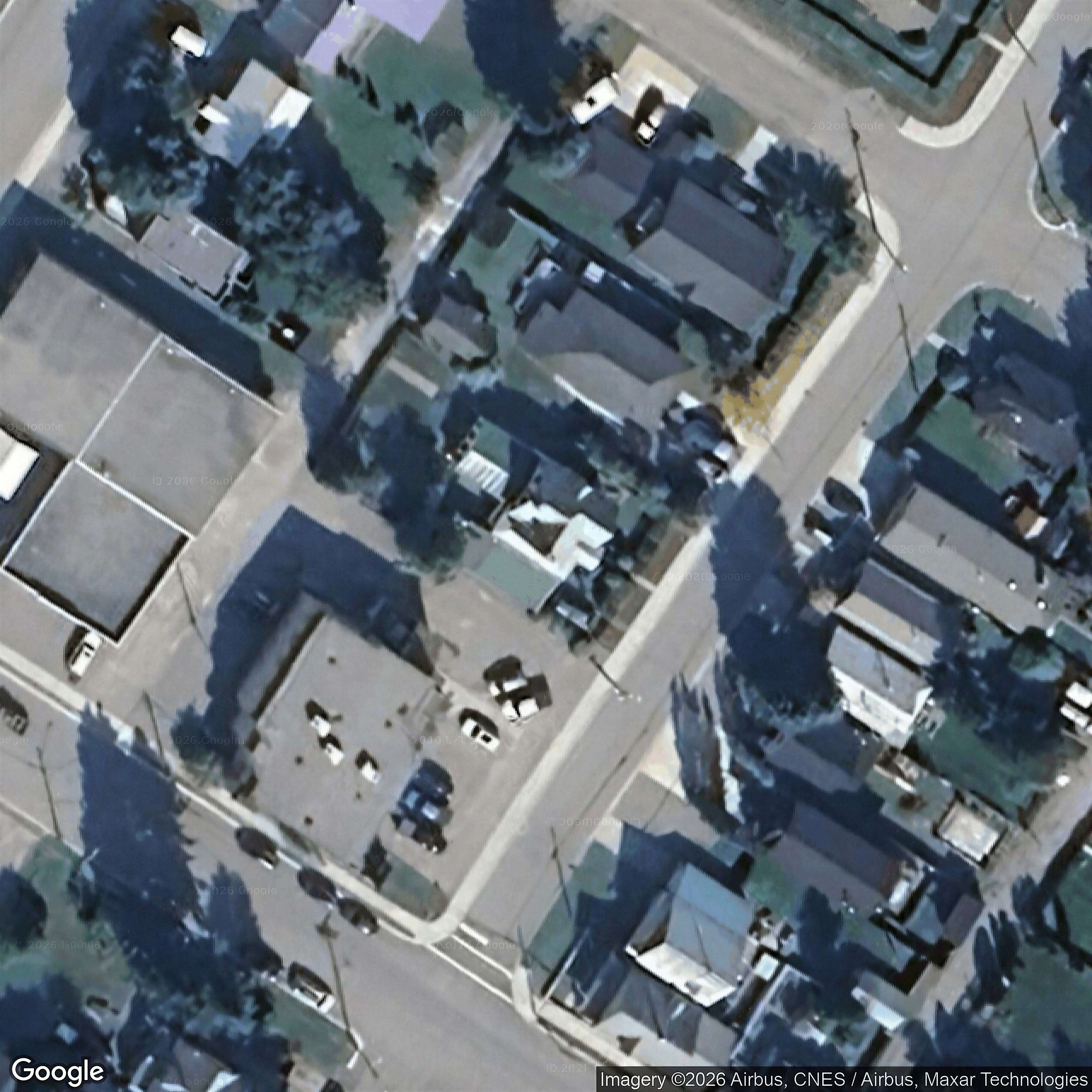
 Concept mockup only — hot tub digitally added.
 Concept mockup only — hot tub digitally added.
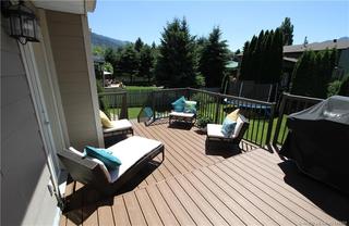
 Concept mockup only — hot tub digitally added.
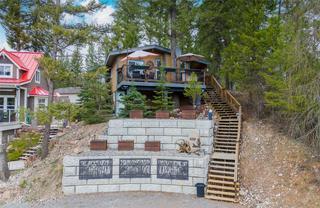
 Concept mockup only — hot tub digitally added.
 Concept mockup only — hot tub digitally added.
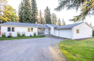
 Concept mockup only — hot tub digitally added.
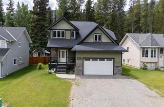
 Concept mockup only — hot tub digitally added.
 Concept mockup only — hot tub digitally added.
 Concept mockup only — hot tub digitally added.
 Concept mockup only — hot tub digitally added.
 Concept mockup only — hot tub digitally added.
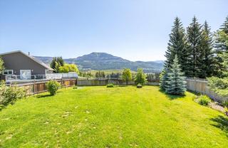
 Concept mockup only — hot tub digitally added.
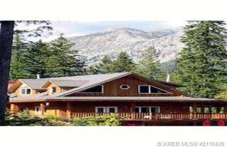
 Concept mockup only — hot tub digitally added.
 Concept mockup only — hot tub digitally added.

 Concept mockup only — hot tub digitally added.
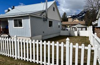
 Concept mockup only — hot tub digitally added.
 Concept mockup only — hot tub digitally added.
 Concept mockup only — hot tub digitally added.
 Concept mockup only — hot tub digitally added.
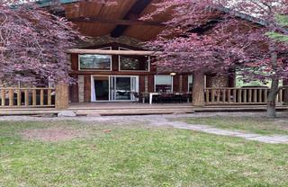
 Concept mockup only — hot tub digitally added.
 Concept mockup only — hot tub digitally added.
 Concept mockup only — hot tub digitally added.
 Concept mockup only — hot tub digitally added.
 Concept mockup only — hot tub digitally added.
 Concept mockup only — hot tub digitally added.
 Concept mockup only — hot tub digitally added.
 Concept mockup only — hot tub digitally added.
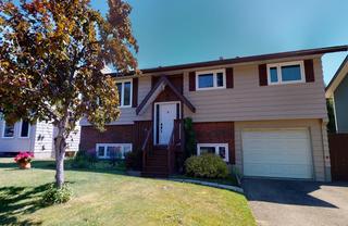
 Concept mockup only — hot tub digitally added.
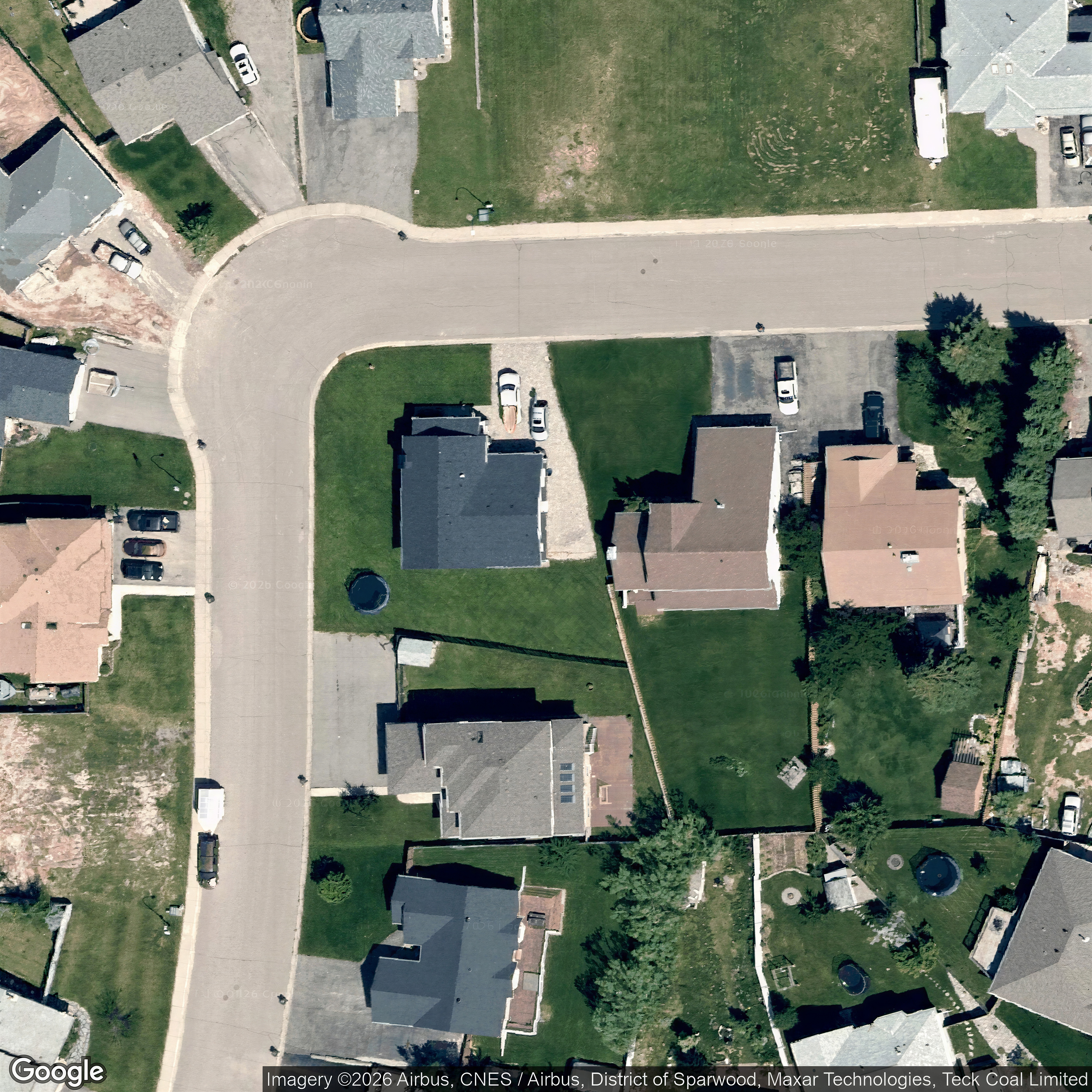
 Concept mockup only — hot tub digitally added.
 Concept mockup only — hot tub digitally added.
 Concept mockup only — hot tub digitally added.
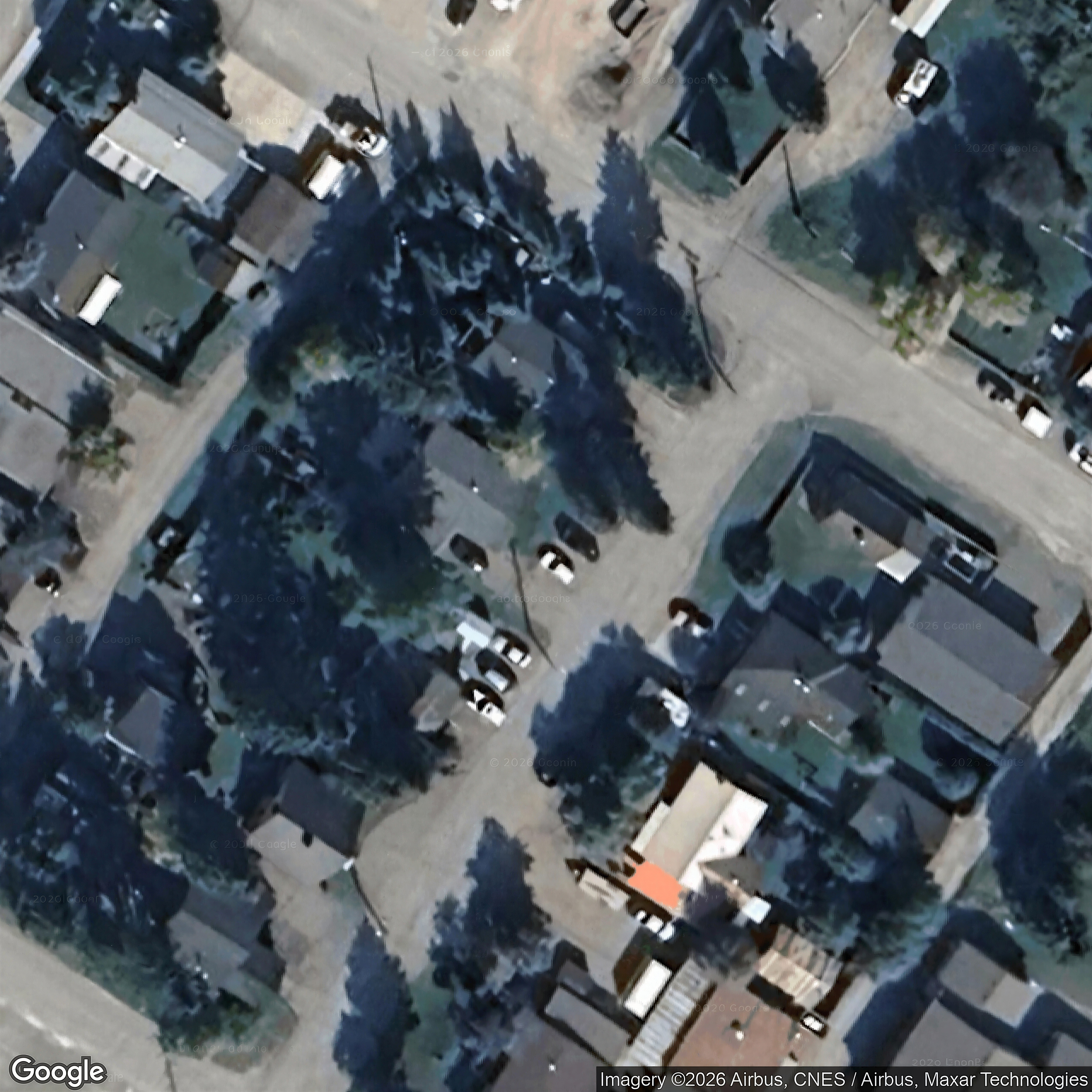
 Concept mockup only — hot tub digitally added.
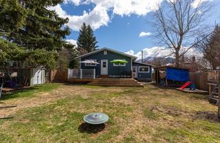
 Concept mockup only — hot tub digitally added.
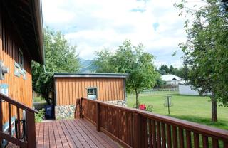
 Concept mockup only — hot tub digitally added.
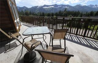
 Concept mockup only — hot tub digitally added.
 Concept mockup only — hot tub digitally added.
 Concept mockup only — hot tub digitally added.
 Concept mockup only — hot tub digitally added.
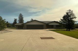
 Concept mockup only — hot tub digitally added.
 Concept mockup only — hot tub digitally added.
 Concept mockup only — hot tub digitally added.
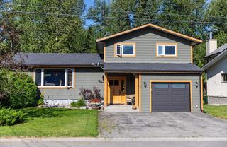
 Concept mockup only — hot tub digitally added.
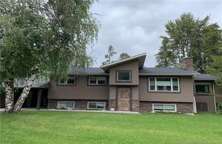
 Concept mockup only — hot tub digitally added.
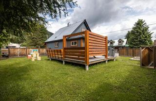
 Concept mockup only — hot tub digitally added.

 Concept mockup only — hot tub digitally added.
 Concept mockup only — hot tub digitally added.
 Concept mockup only — hot tub digitally added.
 Concept mockup only — hot tub digitally added.
 Concept mockup only — hot tub digitally added.
 Concept mockup only — hot tub digitally added.
 Concept mockup only — hot tub digitally added.
 Concept mockup only — hot tub digitally added.
 Concept mockup only — hot tub digitally added.
 Concept mockup only — hot tub digitally added.
 Concept mockup only — hot tub digitally added.
 Concept mockup only — hot tub digitally added.
 Concept mockup only — hot tub digitally added.
 Concept mockup only — hot tub digitally added.
 Concept mockup only — hot tub digitally added.
 Concept mockup only — hot tub digitally added.
 Concept mockup only — hot tub digitally added.
 Concept mockup only — hot tub digitally added.
 Concept mockup only — hot tub digitally added.
 Concept mockup only — hot tub digitally added.
 Concept mockup only — hot tub digitally added.
 Concept mockup only — hot tub digitally added.
 Concept mockup only — hot tub digitally added.
 Concept mockup only — hot tub digitally added.
 Concept mockup only — hot tub digitally added.
 Concept mockup only — hot tub digitally added.
 Concept mockup only — hot tub digitally added.
 Concept mockup only — hot tub digitally added.
 Concept mockup only — hot tub digitally added.
 Concept mockup only — hot tub digitally added.
 Concept mockup only — hot tub digitally added.
 Concept mockup only — hot tub digitally added.
 Concept mockup only — hot tub digitally added.
 Concept mockup only — hot tub digitally added.
 Concept mockup only — hot tub digitally added.
 Concept mockup only — hot tub digitally added.
 Concept mockup only — hot tub digitally added.
 Concept mockup only — hot tub digitally added.
 Concept mockup only — hot tub digitally added.
 Concept mockup only — hot tub digitally added.
 Concept mockup only — hot tub digitally added.
 Concept mockup only — hot tub digitally added.
 Concept mockup only — hot tub digitally added.